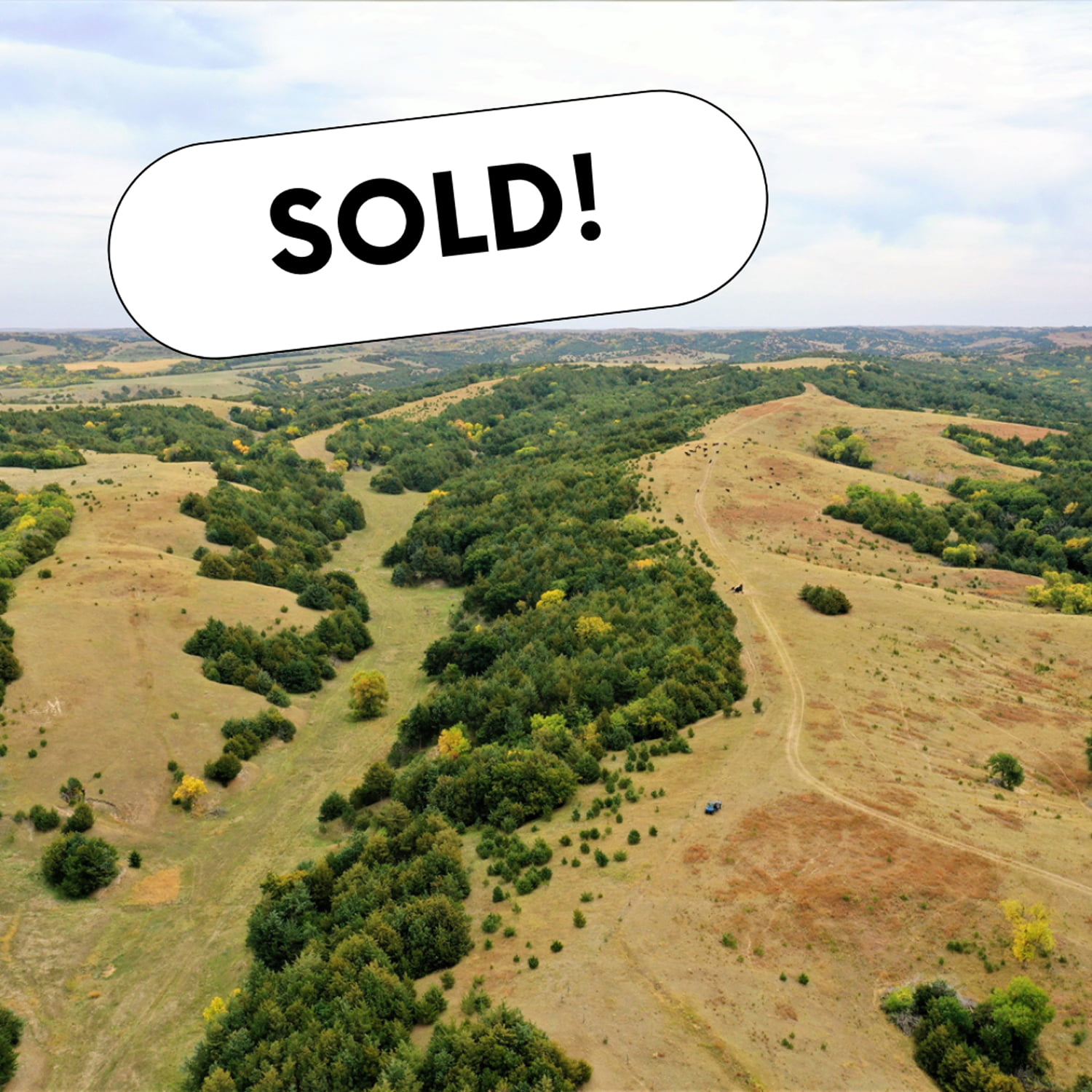
Located in northeastern Lincoln County, NE sits 110.39 -/+ acres of well managed grassland with scenic views and building potential. The property has been cross fenced into two separate pastures with all newer interior and exterior fences. The property has ease of access from East Garfield Table Road, which is a blacktop road that connects to US Hwy 83 to the west. Electricity and fiberoptic is located all along the north boundary line for anyone who is looking to build their dream county home. There are no current leases in place so the property is open for the current grazing season. Water has been provided from the neighbors well in the past as there is a livestock tank located along the east boundary line. Please Note: Agent is also an owner of the property.
– 25 Miles from North Platte, NE – 16.5 Miles from Stapleton, NE – 16 Miles from Arnold, NE
Legal Description – Part of the North Half (1/2) Section Sixteen (16) Township Sixteen (16) North Range Twenty-Seven (27) West of the 6th P.M. Lincoln County Nebraska
AgWest Land Brokers agents will be at Chambers Community Center on May 17th from 11 am until the conclusion of the auction.
Bid online at: Bid.AgWestLand.com
AgWest Land Brokers is proud to offer this half section of pasture, which is a great addition to any operation. The pasture is cross fenced to offer 3 separate paddocks for rotational grazing. Three established, fenced shelterbelts allow for good livestock protection and wildlife habitat. Water is supplied by windmill and two dugouts. Fence has been well maintained by the owner. Cedar trees and thistles have been carefully managed on this property.
Located near Chambers, right off Hwy 95 with good road access on the east side of the property as well.
Legal Description – Pt. East 1/2 Section 21, Township 26 North, Range 12 West, Holt County, Nebraska. 5 +/- acres in southeast corner not included.
AgWest Land Brokers is proud to offer 156 +/- acres of productive dryland and grass just 2.5 miles north of Norton, KS. This incredible combination farm consists of over 94 +/- acres of premium Class II Holdrege silt loam soil spread across all tillable acres.There is no lease in place and is open to the buyers for the 2023 crop and grazing season, with immediate possession after closing! The remaining acres consist of lush grass that was not grazed in 2022, surrounded by a four-wire barbed wire fence. A submersible well is located at the north end of the farm along with a newly dug pond at the south end of the pasture, providing great sources of water for your livestock.
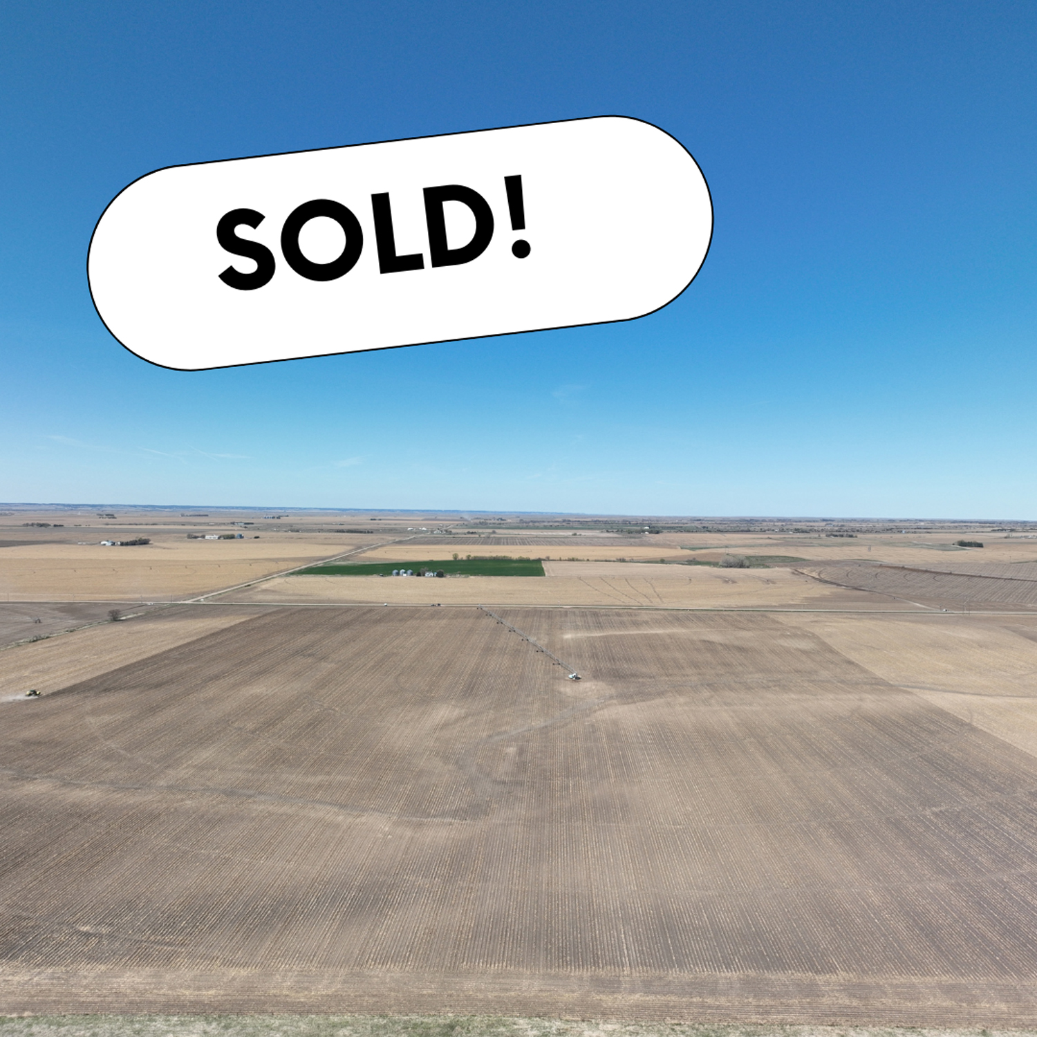
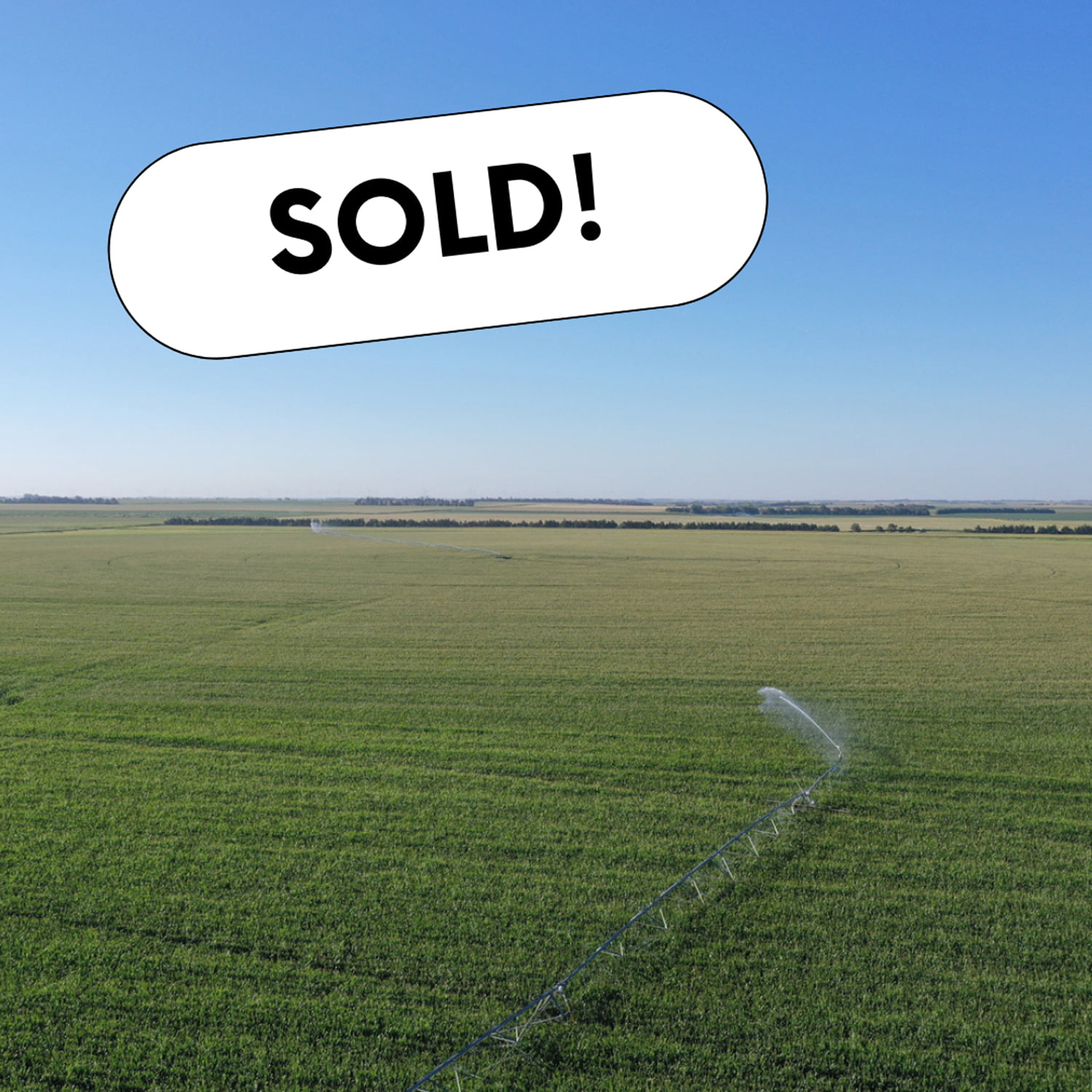
A great opportunity to add an outstanding pivot-irrigated farm to your land holdings. The farm is located in Dawson County, which is known for its fertile soil for crop production. This farm offers good access off a gravel road, is near several competitive grain markets and includes all electric irrigation equipment with the sale. A majority of the farm is comprised of productive Cozad silt loam soils.
AgWest Land Brokers is proud to offer this Decatur County, KS combination farm. A productive cropland farm and cattle ranch located in northern Kansas. It is nearly all-contiguous and comprises of 6,054.54+/- deeded acres in Decatur County.
This property offers 231.08 +/- acres of pivot irrigated cropland, 2,120.44 +/- acres of non-irrigated cropland, 3,701.02 +/- acres of native hardland grass, and 2 +/- acres of miscellaneous.
For the avid sportsman, many mule deer, whitetail deer, upland birds and turkey tend to travel the creek bottoms and roam the several thousand acres of open prairie this ranch has to offer. The farm is located between Oberlin, KS and McCook, NE on each side of Hwy 83 running north and south. Don’t miss this unique opportunity to own a sizable farm and ranch in northern Kansas.
Legal Description – Northeast 1/4 Section 10, Township 3 North, Range 18 West
Well Information – G-068080, drilled March 1982, 1,400 gpm, 191′ static level, 221′ pumping level, 320′ well depth.
Irrigation Information – 10-tower Zimmatic pivot, Caterpillar power unit, diesel tanks, gearhead, well shed, and generator included.
Located in the Lower Republican NRD and has certified irrigation rights for 131.2 acres. Water use in the area is regulated and the 2023 allocation for the next five years is 45″. In addition, the farm has 9″ of carryover from the previous allocation. For more information, please contact the Lower Republican Natural Resources District, (308) 928-2182.
Driving Directions – From Holdrege, NE travel south on Highway 183 for 13 miles and head east on 719 Road for 2 miles. The farm will be on the southwest corner of 719 Road and P Road.
Legal Description – Northwest 1/4 Section 11, Township 3 North, Range 18 West
Well Information – G-068081, drilled April 1982, 1,640 gpm, 147′ static level, 167′ pumping level, 280′ well depth.
Irrigation Information – 10-tower Zimmatic pivot, Catepillar power unit, diesel tanks, gearhead, well shed, and generator included.
Located in the Lower Republican NRD and has certified irrigation rights for 132 acres. Water use in the area is regulated and the 2023 allocation for the next five years is 45″. In addition, the farm has 9″ of carryover from the previous allocation. For more information, please contact the Lower Republican Natural Resources District, (308) 928-2182.
Additional Information – 20,000 +/- bushel grain bin included in the sale.
Driving Directions – From Holdrege, NE travel south on Highway 183 for 13 miles and head east on 719 Road for 2 miles.The farm will be on the southeast corner of 719 Road and P Road.
Legal Description – East 1/2 Southwest 1/4 Section 11, East 1/2 Northwest 1/4 & Northeast 1/4 Southwest 1/4 Section 14, all in Township 3 North, Range 18 West
Well Information – A-005435, Drilled July 1953, 1,000 gpm
Irrigation Information – 8-tower Valley pivot, Caterpillar power unit, diesel tanks, gearhead, well shed, and generator included.
Located in the Lower Republican NRD and has certified irrigation rights for 149.1 acres. Water use in the area is regulated and the 2023 allocation for the next five years is 45″. In addition, the farm has 9″ of carryover from the previous allocation. For more information, please contact the Lower Republican Natural Resources District, (308) 928-2182.
Driving Directions – From Holdrege, NE travel south on Hwy 183 for 13 miles and head east on 719 Road for 2 miles, travel south 1 mile to 718 Road and head east a 1/4 mile.The farm will be on the north and south side of 718 Road.
FSA Information
Total Cropland Acres: 468.3
Wheat – 70.8 Base Acres – 48 PLC Yield
Corn – 356.1 Base Acres – 187 PLC Yield
Grain Sorghum – 35.1 Base Acres – 79 PLC Yield
Total Base Acres: 462
**Base acres from all tracts are combined. Base acres to be prorated across all acres after closing.
Online Land Auction – Bohys Canyon Rangeland – 238.00 +/- Acres in Custer County, NE
Bidding Opens: Monday, November 28th at 10 a.m.
Bidding Closes: Monday, December 5th at 12 Noon
AgWest Land Brokers agents will be present to help buyers in person on Monday, December 5th at 11 a.m. at:
Loup County Community Center
406 4th Street
Taylor, Nebraska 68879
Here’s a rare opportunity to purchase some prime hardland pasture located only a few miles southeast of Taylor, NE. The property consists of 238.0 +/- acres of well-managed hardland pasture that is set up with an underground waterline system feeding several tanks and hydrants. The seller has spent over $20,000 in the last couple of years managing the volunteer cedars and all interior fences have been replaced with hedgeposts and three-wire fences. There is an old field that is located in the southeast corner of the property that offers some of the most beautiful views any outdoorsman could ask for. It could be replanted to attract some of the local wildlife in the area, which includes mostly turkey, whitetail deer, mule deer, and elk. The property is owner rated at 60 cow/calf pair for a 5-month grazing season and is split into 6 different pastures situated for rotational grazing. Sellers own an additional 160 +/- acres to the north of the subject property. Buyers will be offered first-right-of-refusal on this property after purchase. Also, the sellers will allow the buyers full use of the cattle working facilities located off the gravel road to the north of the subject property. The 160 +/-acres being retained by the sellers are connected to the same waterline as the subject property. Sellers have agreed to pay the buyers $750/year for the use of the buyer’s well.
Legal Description:
Part of North ½ Northwest ¼ , Northwest ¼ Northeast ¼ , South ½ Northeast ¼ , Northeast ¼ Southeast ¼, Section Eight (8), Township Twenty (20) North, Range Seventeen (17) West of the 6th P.M., Custer County, NE.
Part of Southwest ¼ , Section Five (5), Township Twenty (20) North, Range Seventeen (17) West of the 6th P.M., Custer County, NE.
*FINAL LEGAL DESCRIPTION AND ACRES TO COME FROM COMPLETED SURVEY
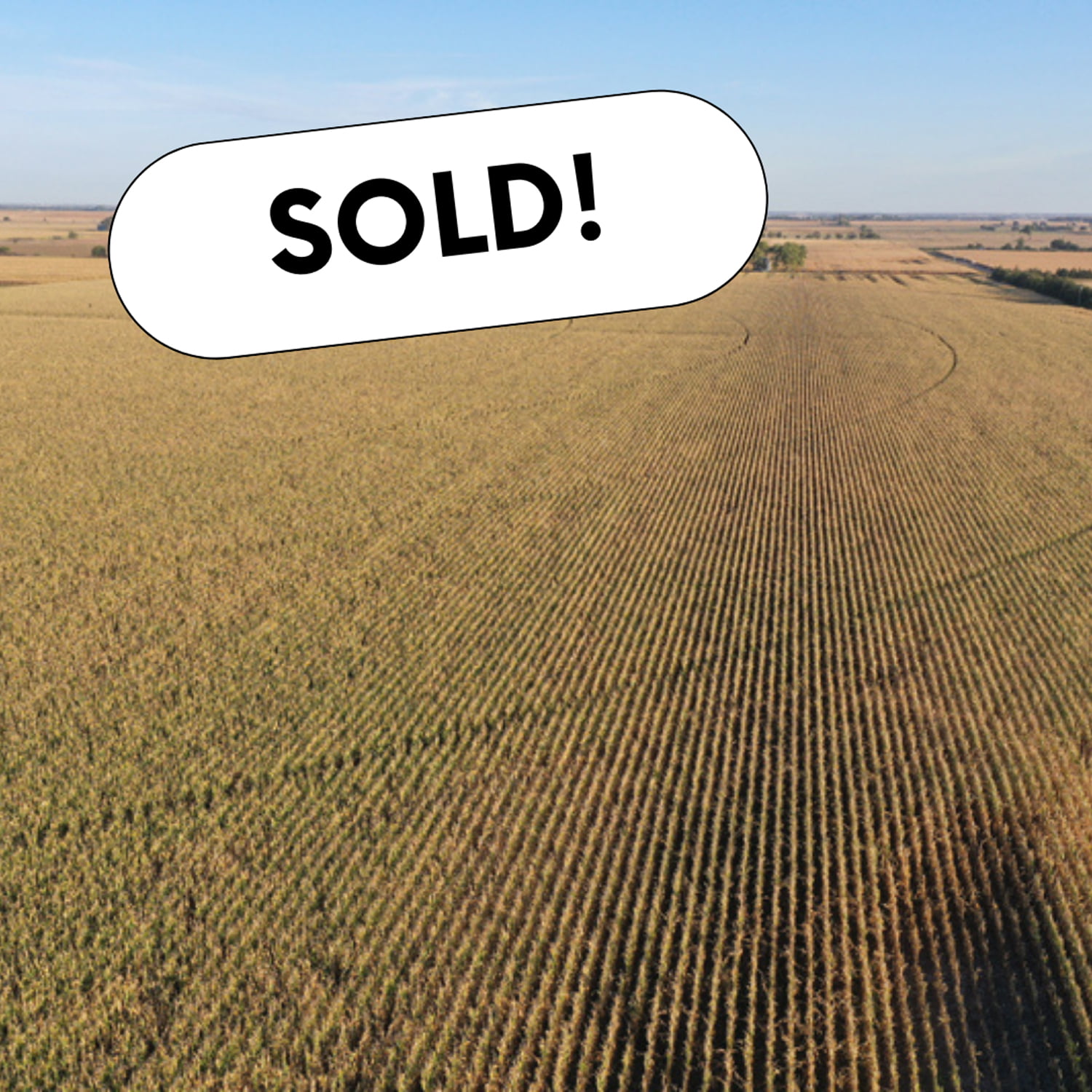
Up for auction are 3 nice laying flat farms located close to multiple elevators and an ethanol plant.
Tract 1 and Tract 2 are just across the road from each other.Each is set up for a half swing pivot with the ability to water the corners.
Tract 2 has Silver Creek running through the north part of the farm.
Tract 3 is a nice flat pivot-irrigated 80 with the ability to irrigate the corners.
Tract 1
Total Acres (Per Assessor) – 80.05 +/-
Irrigated Acres – 77.14 +/-
Dryland Acres – 1.92 +/-
Other Acres – 0.99 +/-
Real Estate Taxes – $2,882.04
Legal Description – E1/2 NW1/4 Section 26, Township 15N, Range 5W, Merrick County, Nebraska
Driving Directions – Take Hwy 30 west of Clarks to 24 Rd.Turn north and go roughly 3 miles to W Rd.Turn west and go 1/2 mile.
Property is located on south side of the road.
Irrigation Information
Pivot and power unit are owned by tenant and do not convey with the property.Wells to pivot set up at 650GPM.
Irrigation Equipment – 4 Wells
Well 1: G-045876A drilled in Jan 1950, 1,000 gpm, 7′ static level, 26′ well depth.
Well 2: G-045876B drilled in May 1948, 1,000 gpm, 7′ static level, 30′ well depth
Well 3: G-045876C drilled in Jan 1982, 400 gpm
Well 4: G-045876D drilled in Jan 1982, 500 gpm
FSA Information
Total Cropland Acres: 79.53
Wheat – 11.51 Base Acres – 38 PLC Yield
Corn – 31.66 Base Acres –160 PLC Yield
Soybeans – 6.03 Base Acres – 48 PLC Yield
Total Base Acres – 49.2
*Estimated division of base acres between
Tract 1 and Tract 2
Tract 2
Total Acres (Per Assessor) – 80.62+/-
Irrigated Acres – 77.73 +/-
Grassland Acres – 1.89 +/-
Other Acres – 1.00 +/-
Real Estate Taxes – $2,942.72
Legal Description – E1/2 SW1/4 Section 23, Township 15N, Range 5W, Merrick County Nebraska
Driving Directions – Go west of Clarks on Hwy 30 to 24 Rd.Turn north and go roughly 3 miles to W Rd.Turn west and go 1/2 mile .Property is on the north side of the road.
Irrigation Information
Tenant owns pivot and is not included.Wells feeding into the pivots are 650GPM.
77.73 certified irrigated acres, of which 44.61 ac were issued under the Impacts Below Chapman (IBC) program in 2012 & 2013.These acres “could” be subject to needing offsets should the board deem these acres are adversely impacting Platte river stream flows.This is unlikely to happen, but these acres are subject to such rule.
Included with property:
10,000 bushel grain bin with fan and burner. Subject to lease ending September 1, 2023.
Irrigation Equipment
Well 1: G-045877 drilled in June 1955, 1,000 gpm, 6′ static level, 43′ well depth
Well 2: G-045879 drilled in June 1967, 650 gpm, 6′ static level, 30′ well depth
Well 3: G-163741 drilled in April 2012, 725 gpm, 7′ static level, 15′ pumping level, 30′ well depth
FSA Information
Total Cropland Acres: 75.98
Wheat – 10.99 Base Acres, 38 PLC Yield
Corn – 30.24 Base Acres –160 PLC Yield
Soybeans – 5.77 Base Acres – 48 PLC Yield
Total Base Acres – 47.0
*Estimated division of base acres between
Tract 1 and Tract 2
Tract 3
Total Acres (Per Assessor) – 78.45 +/-
Irrigated Acres – 75.74 +/-
Grassland Acres – 0.77 +/-
Other Acres – 1.94 +/-
Real Estate Taxes – $2,765.02
Legal Description – W1/2 NW1/4 Section 1, Township 15N, Range 5W, Merrick County, Nebraska
Driving Directions – Go west of Clarks to 24 Rd.Turn north and go roughly 5 miles to Z Rd.Keep going north 1/2 mile.Property is located on the east side of the road.
Irrigation Information
7 tower T&L pivot set up for roughly 250 GPM
Irrigation Equipment
Well 1: G-050752 drilled in May 1976, 230 gpm, 8′ static level, 30′ pumping level, 34′ well depth.
Well 2: G-105390 drilled in Jan 1960, 200 gpm, 6′ static level, 34′ pumping level
Well 3: G-140750 drilled in June 2006, 250 gpm, 10′ static level, 22′ pumping level, 33′ well depth
AgWest Land Brokers is proud to offer this prime Nuckolls County farm for sale by online auction. This level to nearly level farm has highly productive silt loam soils that have an irrigated corn APH of 250 bushels per acre and an irrigated soybean APH of 76 bushels per acre! This farm is located on Highway 4 and has great access to and is in close proximity to many premium grain markets. Don’t miss this rare opportunity to make a great addition to your farming operation!
AgWest Land Brokers is proud to offer this prime Kearney County farm for sale by online auction. The farm will be sold as 3 individual tracts and will not be combined. This level to nearly level farm has highly productive silt loam soils and is irrigated by 8 pivots. The farm has great access and is in close proximity to grain elevators, ethanol plants, feedlots, and specialty grain/organic grain markets. Don’t miss this rare opportunity to make a great addition to your farming operation!
Recently completed drainage improvement project in the southwest corner.
Recently completed installation of water meters per Tri-Basin NRD guidelines.
Estimated Property Taxes – $13,100
Legal Description – NE 1/4 (less building site) & SE 1/4 of Section 22-T5N-R13W of the 6th p.m.
FSA Information
Irrigated Acres – 297.54 +/-
Non-Irrigated Acres – 10.66 +/-
Total Cropland Acres: 308.2 +/-
Corn – 282.4 Base Acres – 186 PLC Yield
Soybeans – 20.0 Base Acres – 55 PLC Yield
Total Base Acres – 302.4
Additional Information
Subject to 2022 custom farming lease.
5.80 Acre building site (house, machine shop, bin site) not included in the sale.
Irrigation Information – Located in the Tri-Basin Natural Resource District and has certified irrigation rights for 309.08 +/- acres.
Well Information
Well #1 (SE 1/4) – G-061963 drilled in May of 1979, 2,000 gpm, 147′ static level, 218′ pumping level, 233′ well depth
2004 Cummins diesel 6 cylinder motor
All diesel tanks and chemical tanks at the well sites are included in the sale of this tract
Natural gas is available
10″ Fairbanks morse pump
100 HP Amarillo gearhead
Well #2 (NE 1/4) – G-062875 drilled in May of 1996, 2,000 gpm, 134′ static level, 196′ pumping level, 232′ well depth
2012 Cummins diesel 4 cylinder motor
All diesel tanks and chemical tanks at the well sites are included in the sale of this tract
Natural gas is available
10″ American marsh pump
80 HP Amarillo gearhead
Pivot Information
7 tower 2005 Zimmatic pivot & 2-3 tower 2005 Zimmatic pivots serviced by well #1
7 tower 2005 Zimmatic pivot & 1-3 tower 2005 Zimmatic pivot serviced by well #2
3 tower pivot in the center of the section goes with tract 1, per survey easement. (available upon request)
Property Directions – From the town of Norman in eastern Kearney County, travel 6 miles south on 40 Road to D Road. Turn east and go 2 miles to 42 Road. Tract 1 is located on the southwest corner of D Road and 42 Road.
Tract 2
Total Acres (per assessor) – 321.45 +/-
Pivot irrigated farm with 2 – 7 tower pivots.
Recently completed drainage improvement project in the southeast corner.
Recently completed installation of water meters per Tri-Basin NRD guidelines.
Estimated Property Taxes – $13,500
Legal Description – NW 1/4 & SW 1/4 of Section 22-T5N-R13W of the 6th p.m.
FSA Information
Irrigated Acres – 286.09 +/-
Non-Irrigated Acres – 28.43 +/-
Total Cropland Acres: 314.52 +/-
Corn – 282.2 Base Acres – 186 PLC Yield
Soybeans – 26.9 Base Acres – 55 PLC Yield
Total Base Acres – 309.1
Additional Information
Subject to 2022 custom farming lease.
Irrigation Information – Located in the Tri-Basin Natural Resource District and has certified irrigation rights for 317.37 +/- acres.
Well Information
Well #1 (NW 1/4) – G-061964 drilled in May of 1979, 2,000 gpm, 147′ static level, 218′ pumping level, 233′ well depth
2014 Isuzu diesel 6 cylinder motor
All diesel tanks and chemical tanks at the well sites are included in the sale of this tract
Natural gas is available
10″ Fairbanks morse pump
100 HP Amarillo gearhead
Well #2 (SW 1/4) – G-125971 drilled in April of 2004, 700 gpm, 138′ static level, 200′ pumping level, 210′ well depth
2004 Cummins diesel 4 cylinder motor
All diesel tanks and chemical tanks at the well sites are included in the sale of this tract
Natural gas is available
6″ preferred pump
80 HP Amarillo gearhead
Pivot Information
7 Tower 2022 Zimmatic pivot serviced by well #1.
7 Tower 2005 Zimmatic pivot serviced by well #2.
3 tower pivot in the center of the section goes with tract 1, per survey easement. (available upon request)
Property Directions – From the town of Norman in eastern Kearney County, travel 6 miles south on 40 Road to D Road. Turn east and go 1 mile to 41 Road. Tract 2 is located on the southeast corner of D Road and 41 Road.
Tract 3
Total Acres (per assessor) – 159.34 +/-
Pivot irrigated farm with 1 – 7 tower pivot.
Recently completed drainage improvement project.
Recently completed installation of water meters per Tri-Basin NRD guidelines.
Estimated Property Taxes – $6,272.10
Legal Description – NW 1/4 of Section 27-T5N-R13W of the 6th p.m.
FSA Information
Irrigated Acres – 133.06 +/-
Non-Irrigated Acres – 20.76 +/-
Total Cropland Acres: 153.82 +/-
Corn – 136.6 Base Acres – 186 PLC Yield
Soybeans – 14.6 Base Acres – 55 PLC Yield
Total Base Acres – 151.2
Additional Information
Subject to 2022 custom farming lease.
Irrigation Information – Located in the Tri-Basin Natural Resource District and has certified irrigation rights for 155.37 +/- acres.
Well Information
Well #1 – G-036048 drilled in November of 1971, 700 gpm, 132′ static level, 194′ pumping level, 210′ well depth
2004 Cummins diesel 4 cylinder motor
All diesel tanks and chemical tanks at the well sites are included in the sale of this tract
Natural gas is available
8″ Vertiline pump
60 HP Randolph gearhead
Pivot Information
7 Tower 2014 Zimmatic pivot serviced by well #1.
Property Directions – From the town of Norman in eastern Kearney County, travel 7 miles south on 40 Road to C Road. Turn east and go 1 mile to 41 Road. Tract 3 is located on the southeast corner of C Road and 41 Road.
Total Property Taxes For All 3 Tracts is estimated to be $32,872.10 or $41.25/acre.