


PROPERTY DESCRIPTION
SOLD $2,950/ac
Online Absolute Land Auction
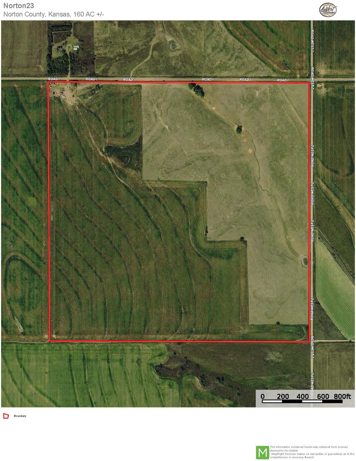
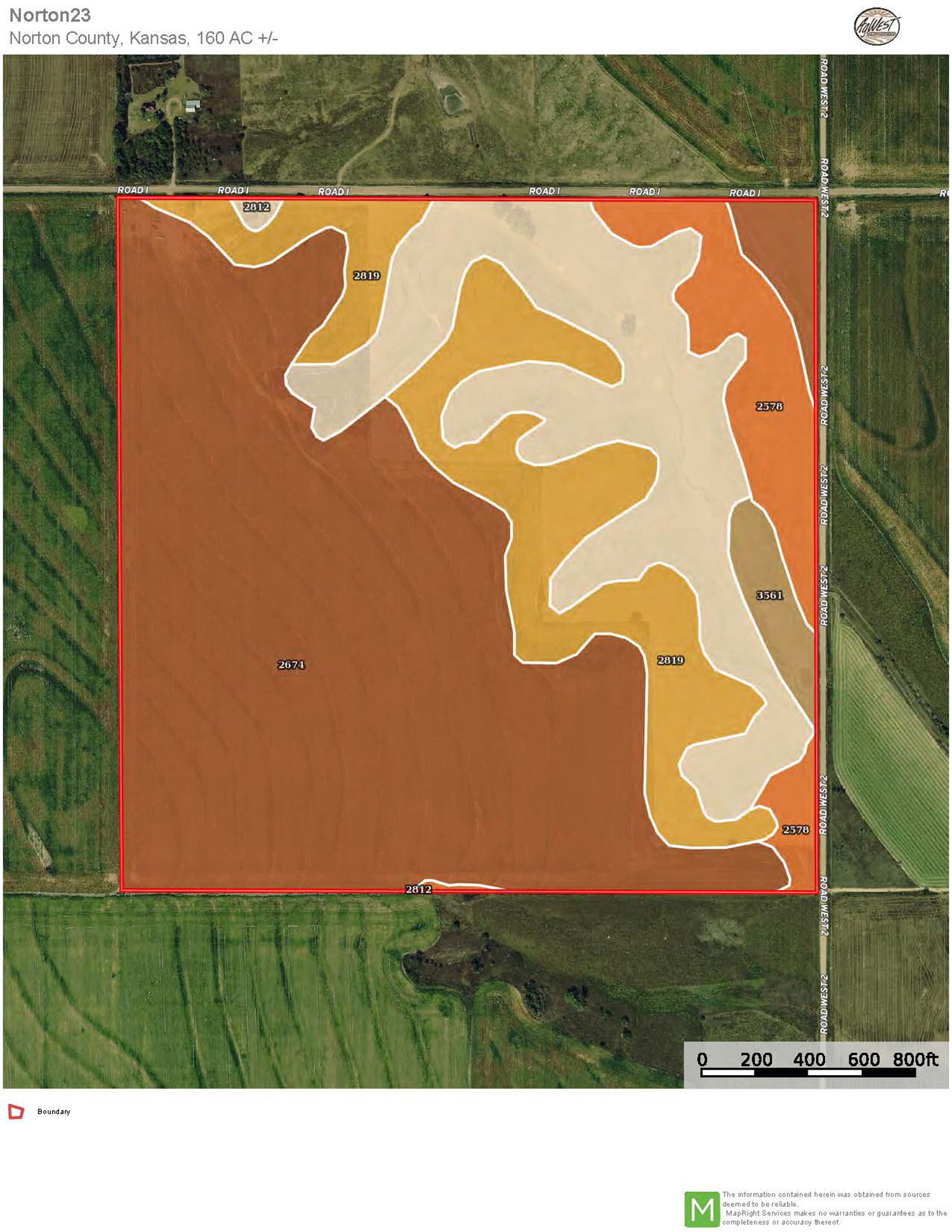
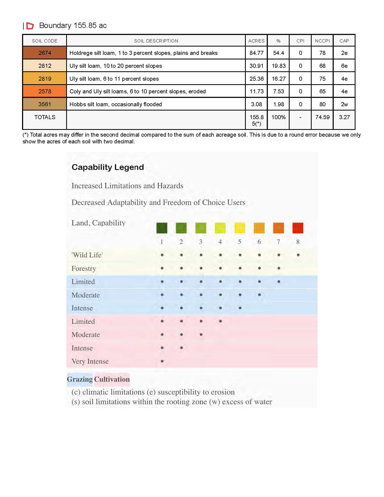
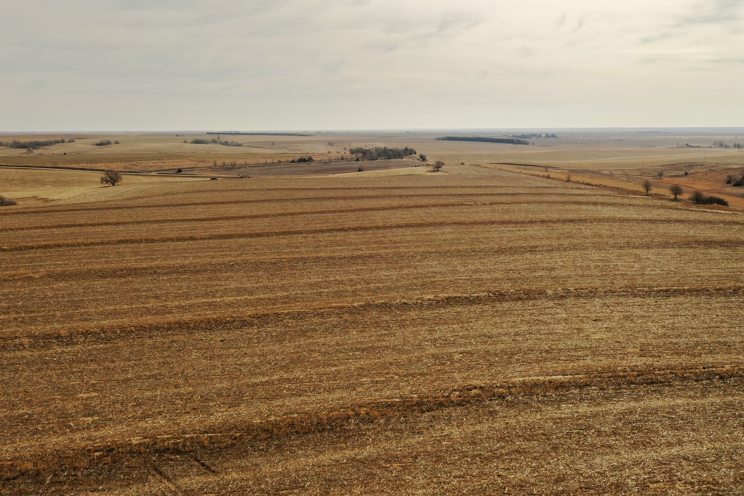
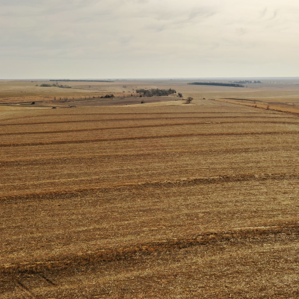
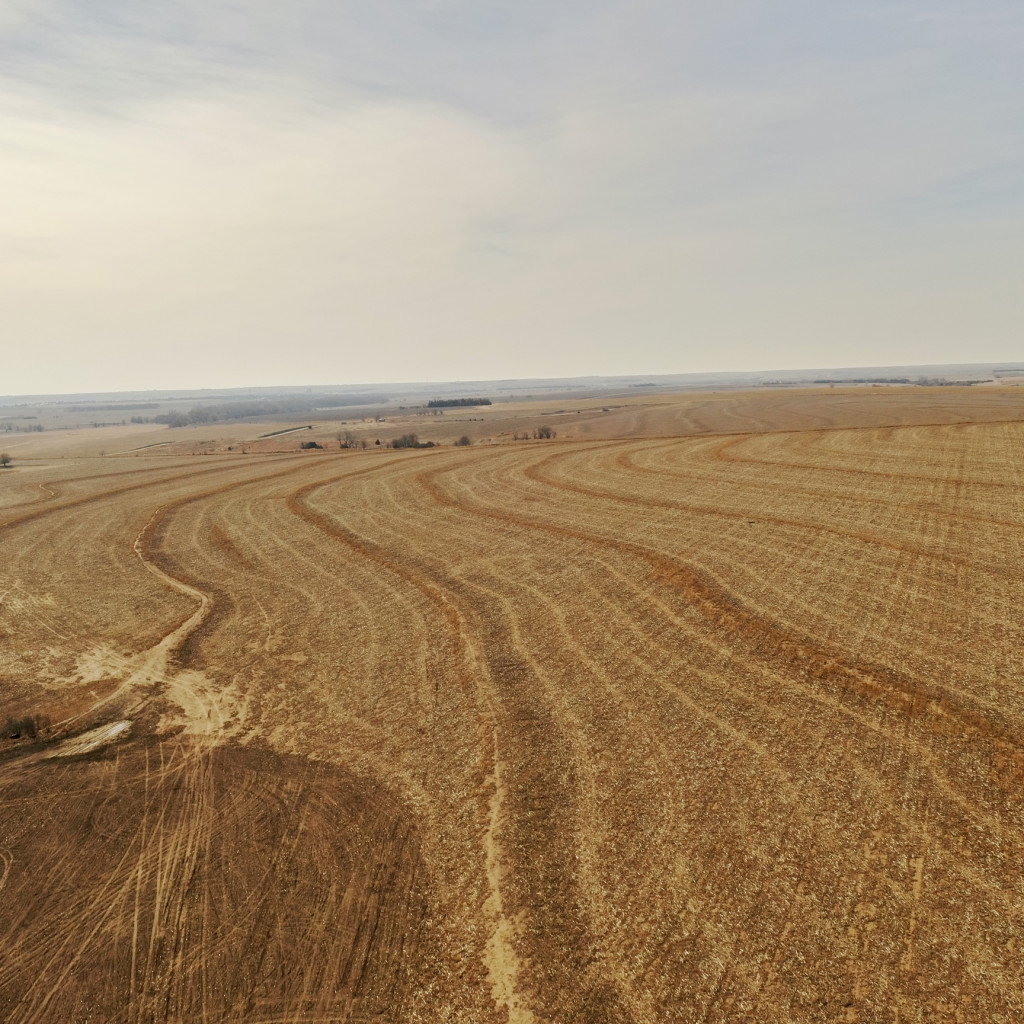
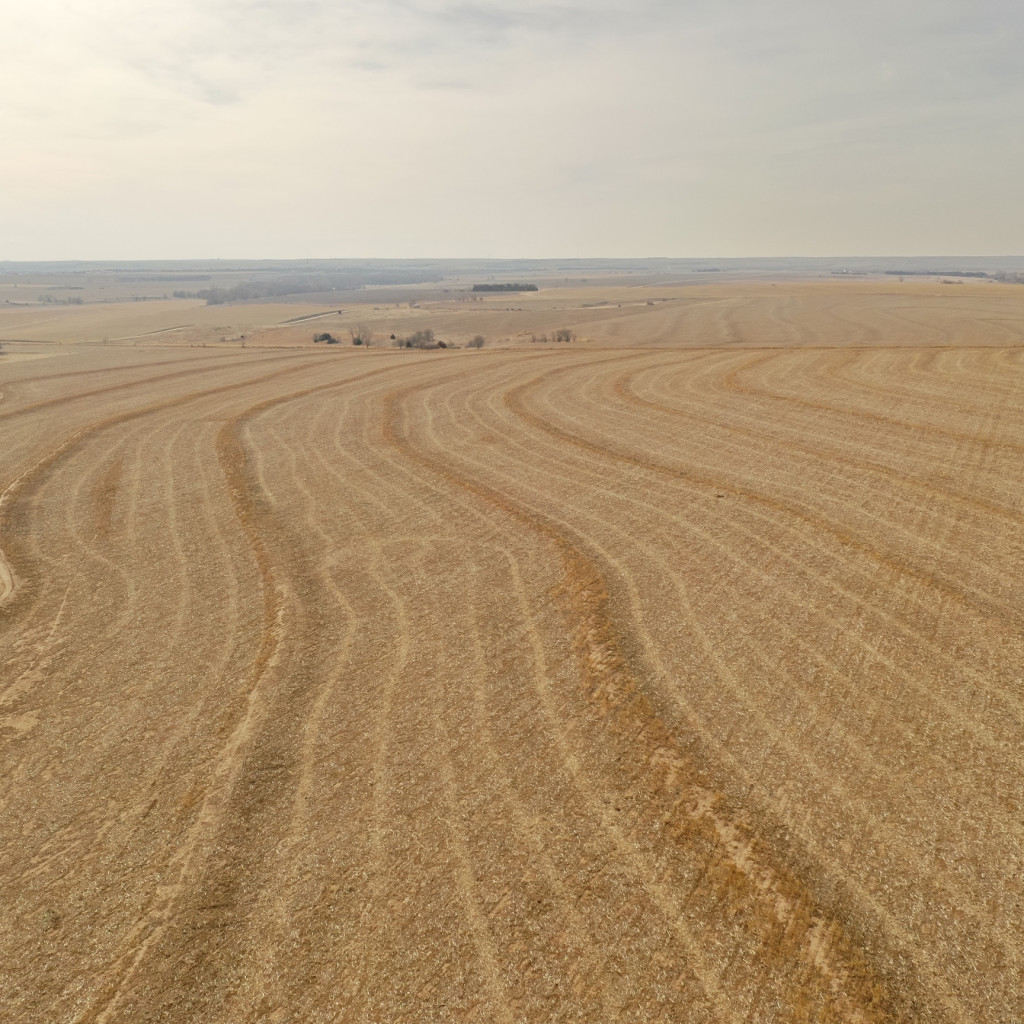
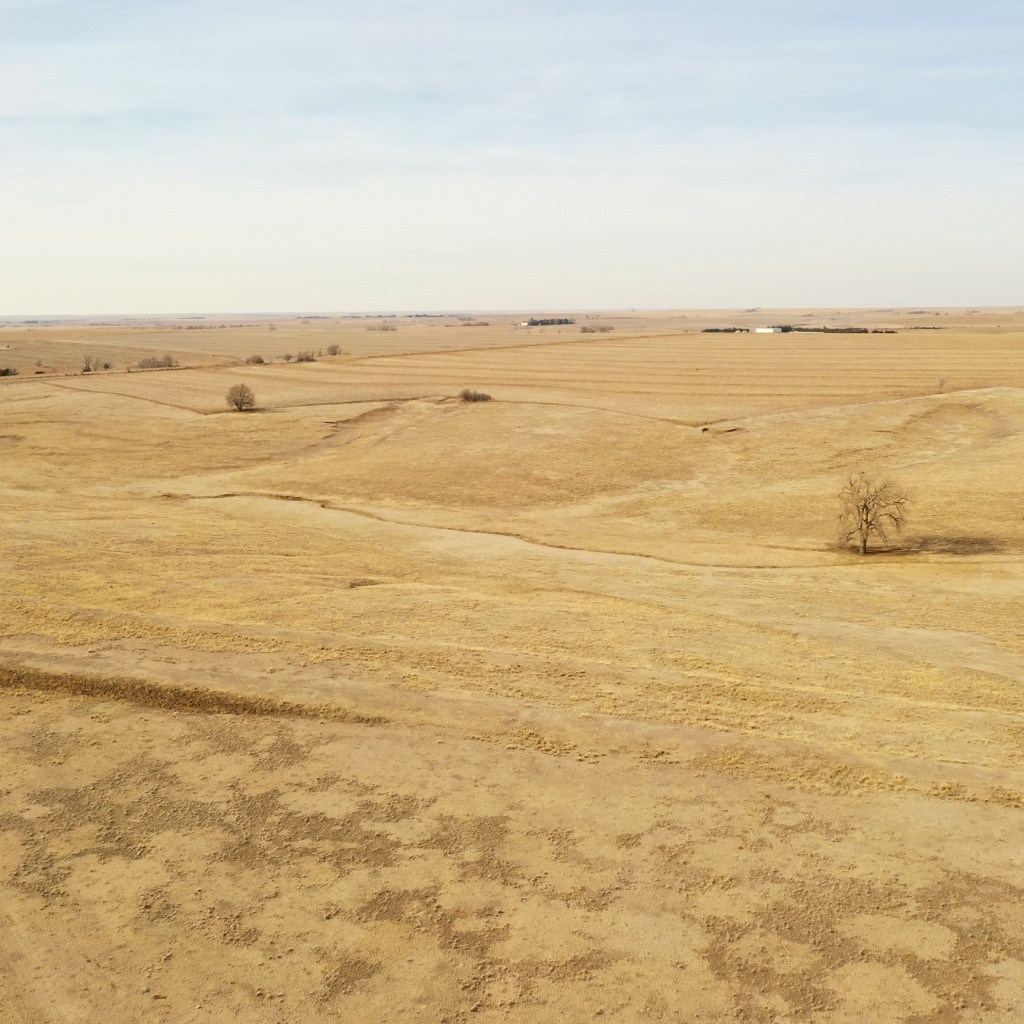
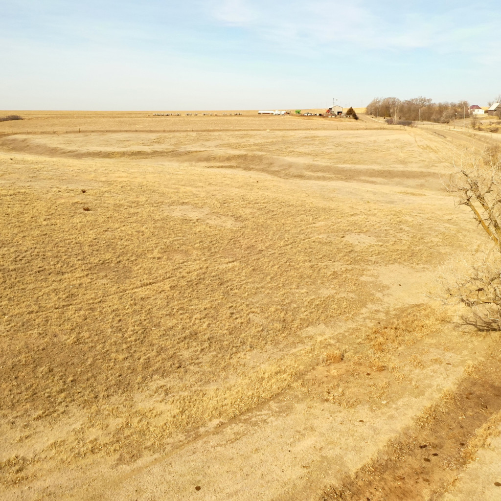
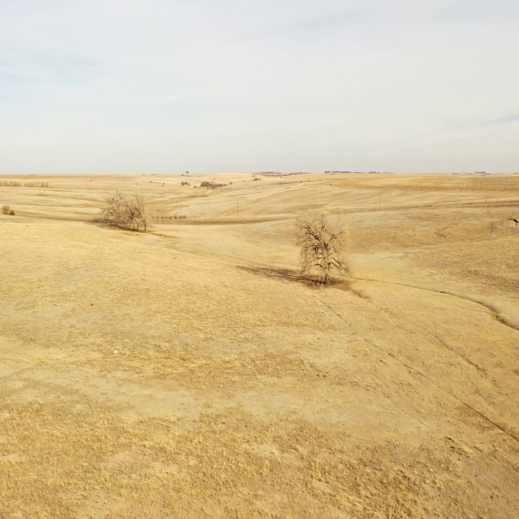
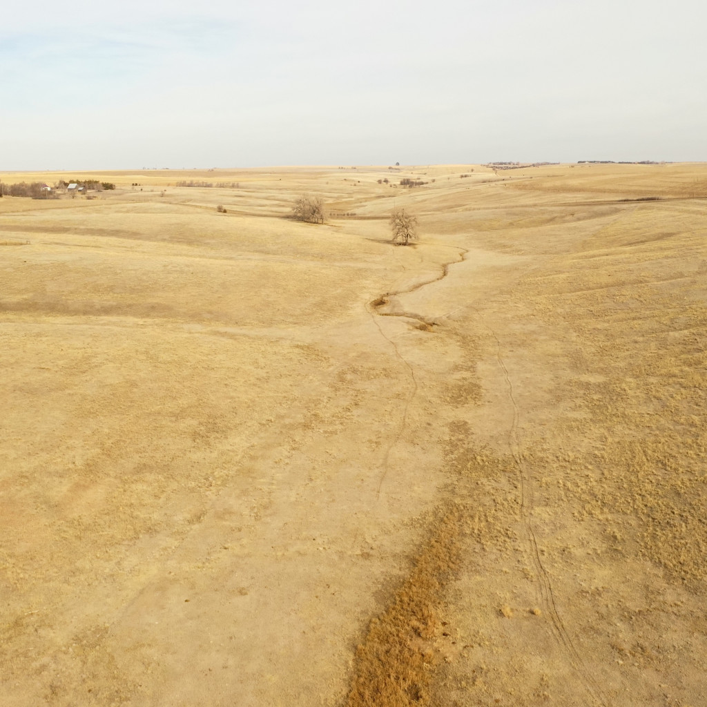
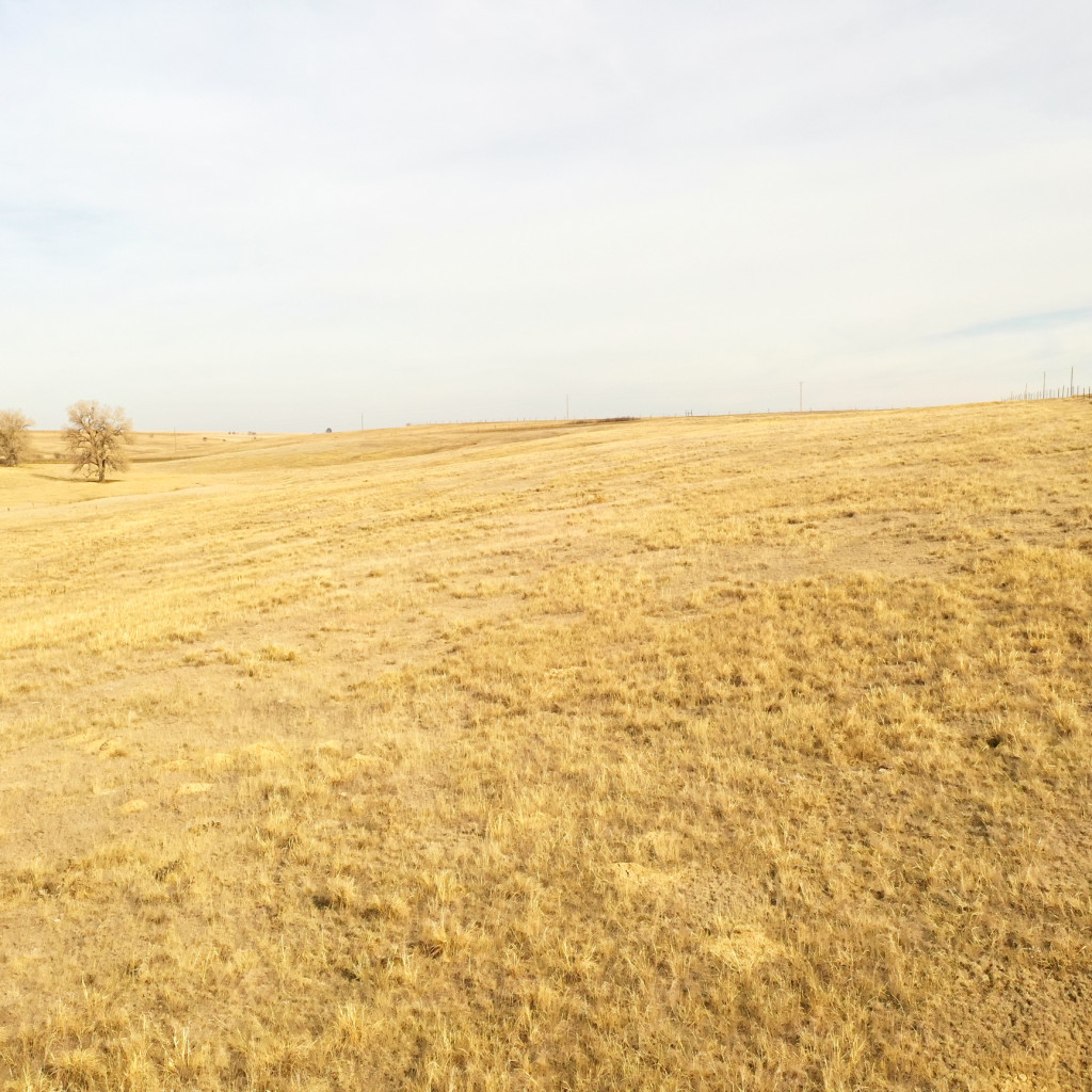
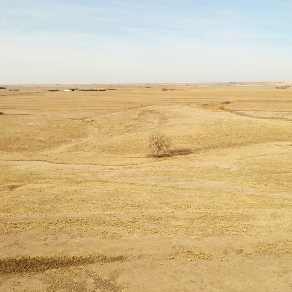
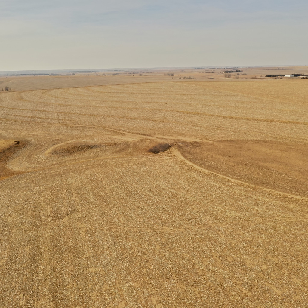
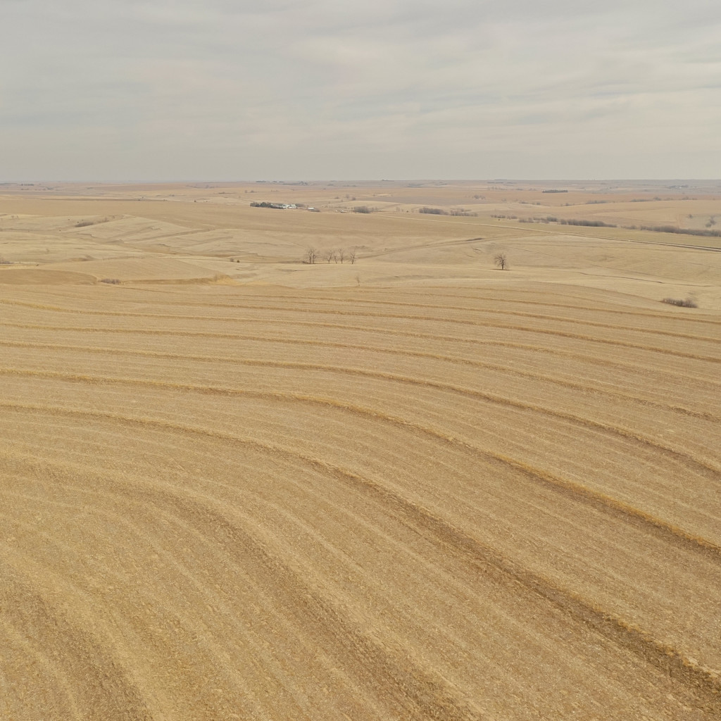
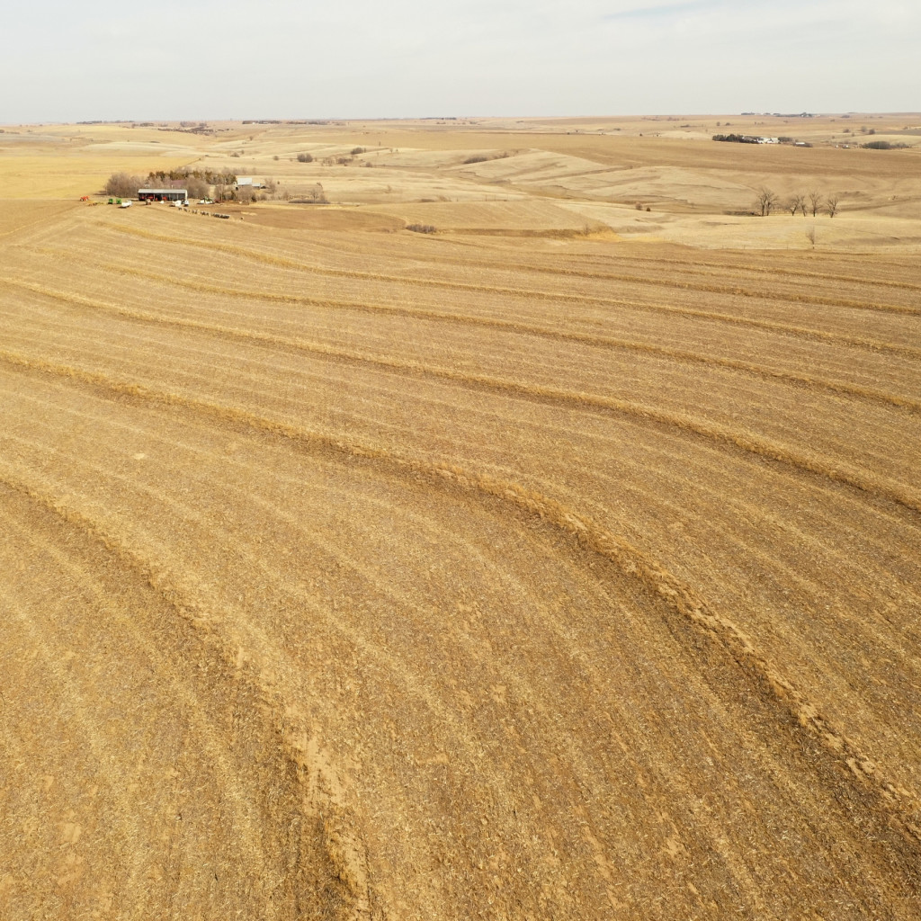
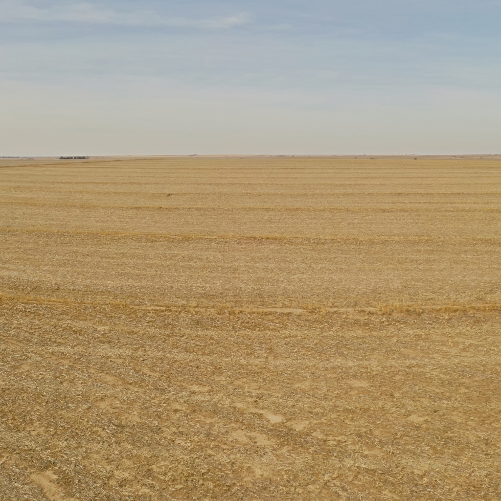
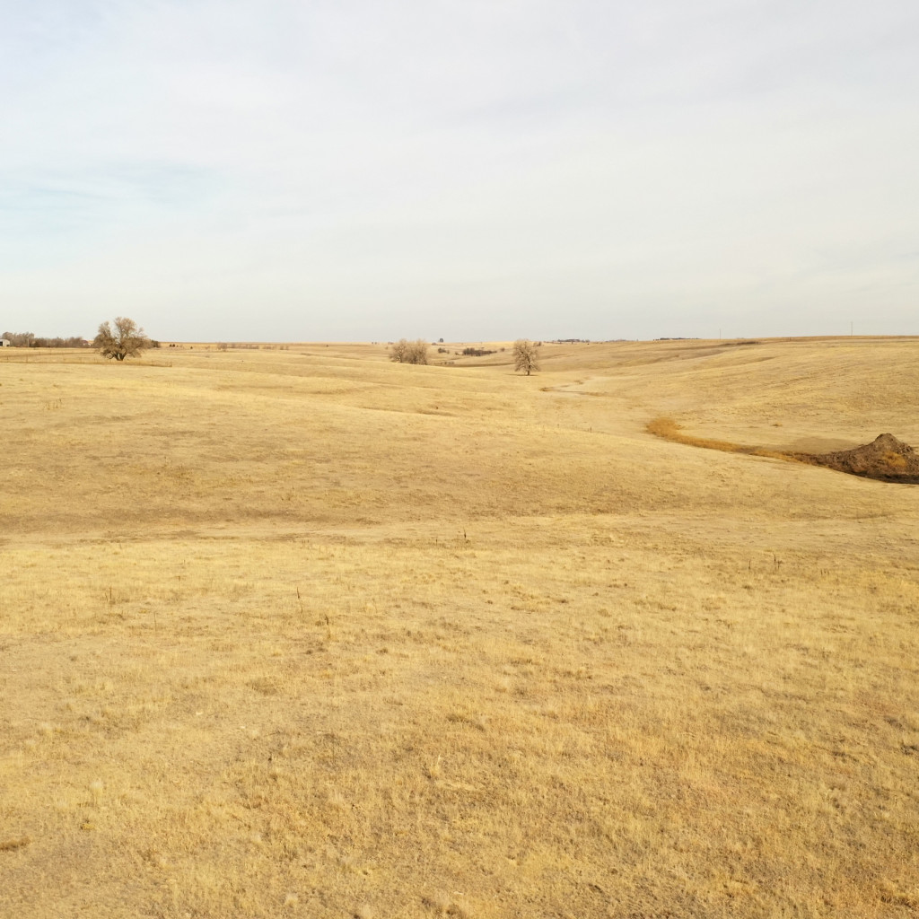
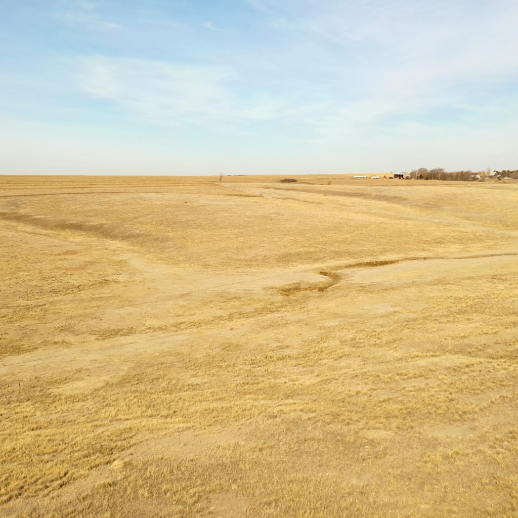
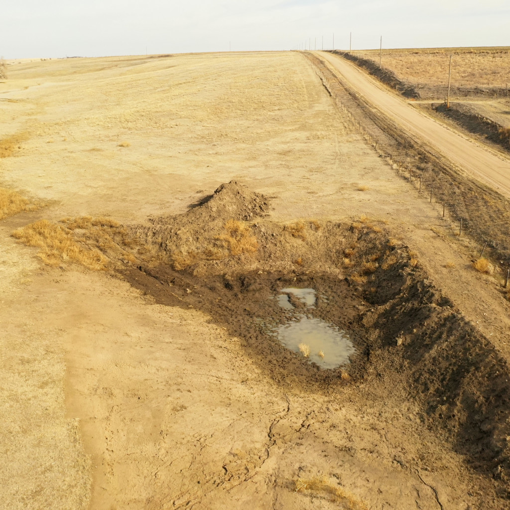
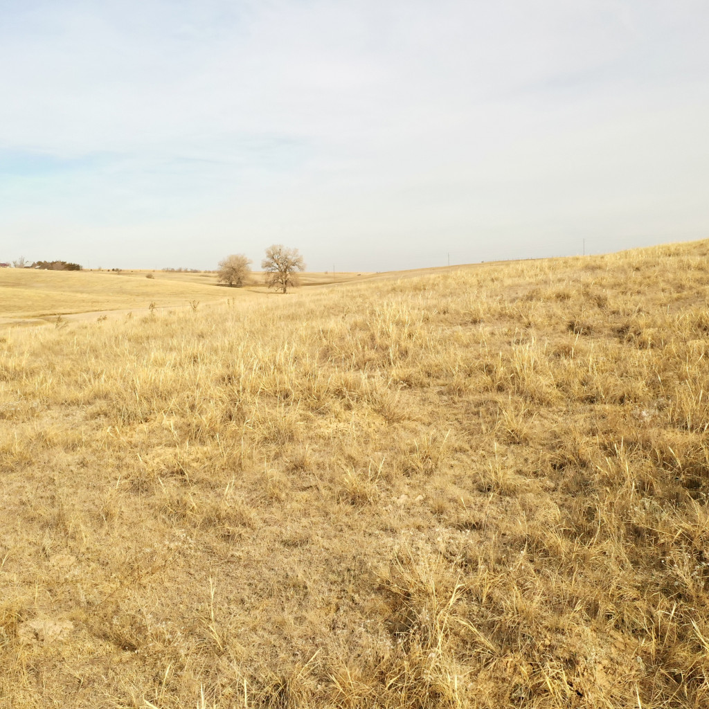
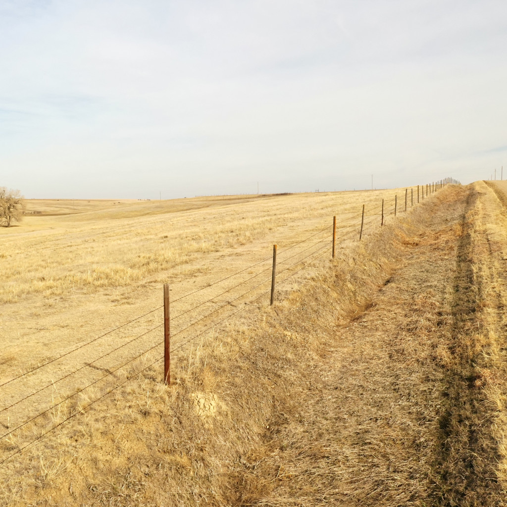
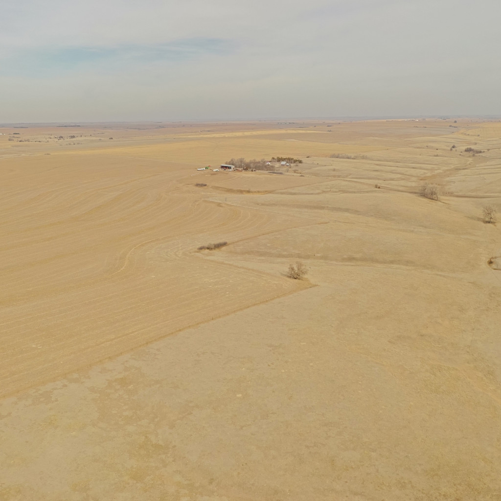
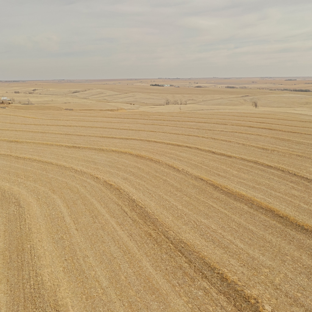
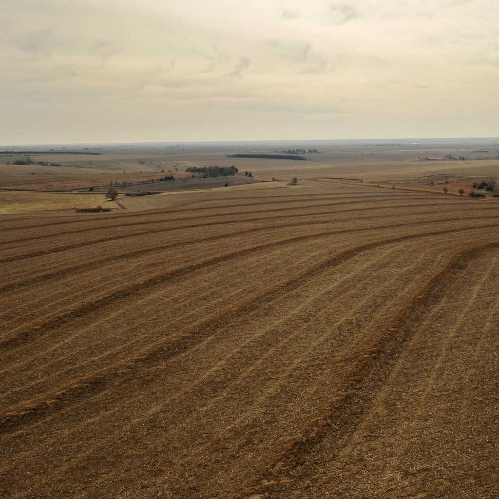
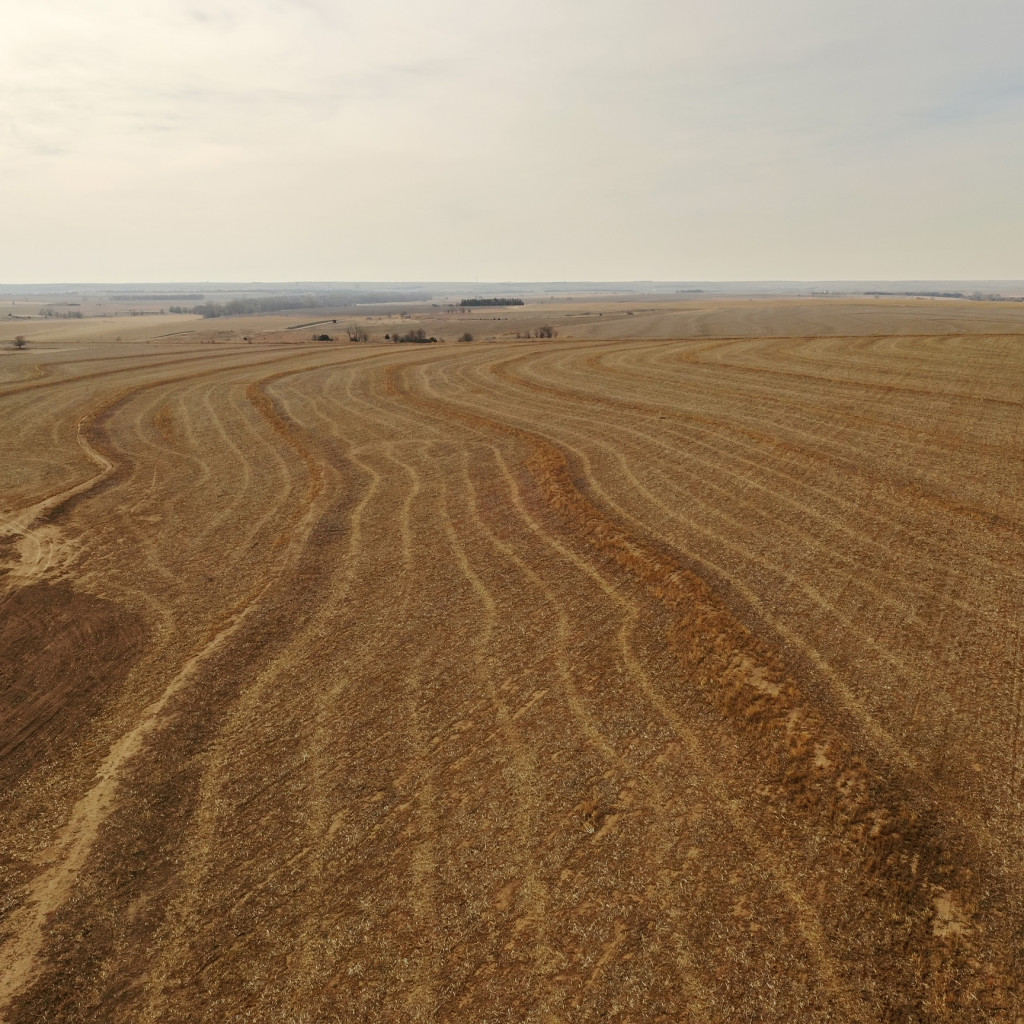
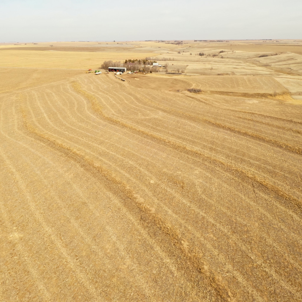
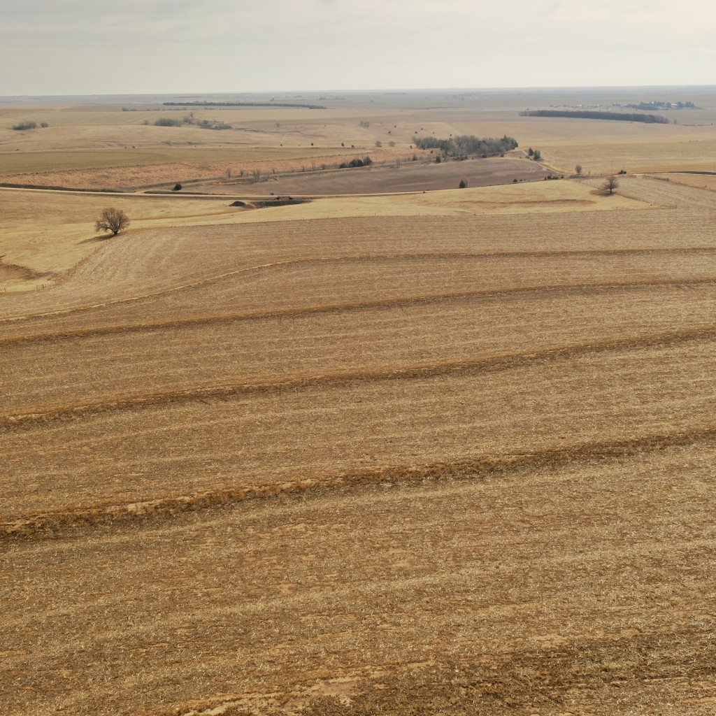
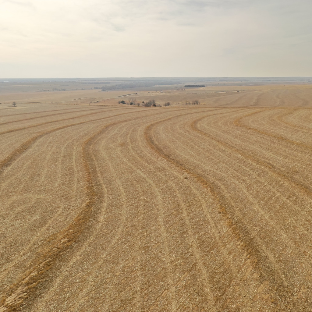
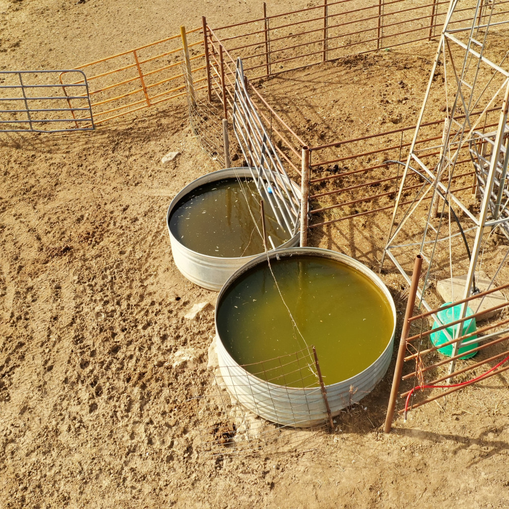
AgWest Land Brokers is proud to offer 156 +/- acres of productive dryland and grass just 2.5 miles north of Norton, KS. This incredible combination farm consists of over 94 +/- acres of premium Class II Holdrege silt loam soil spread across all tillable acres. There is no lease in place and is open to the buyers for the 2023 crop and grazing season, with immediate possession after closing! The remaining acres consist of lush grass that was not grazed in 2022, surrounded by a four-wire barbed wire fence. A submersible well is located at the north end of the farm along with a newly dug pond at the south end of the pasture, providing great sources of water for your livestock.
Bid Online at Bid.AgWestLand.com
Bidding Opens
Friday, April 14th at 10:00 am CDT
Bidding Closes
Wednesday, April 19th at 10:00 am CDT
Bidding will “soft close” and bidding will continue in five-minute increments until five minutes have passed with no new bids.
**AgWest Land Brokers agents will be present to help buyers in person on April 19th at 9 am at:
The Loft
101 S. State Street
Norton, KS 67654
(second floor)
Legal Description – NE 1/4 Less RD R/W Section 17 Township 02 South, Range 23 West
Current Leases – Open for the 2023 crop and grazing season.
Additional Property Details
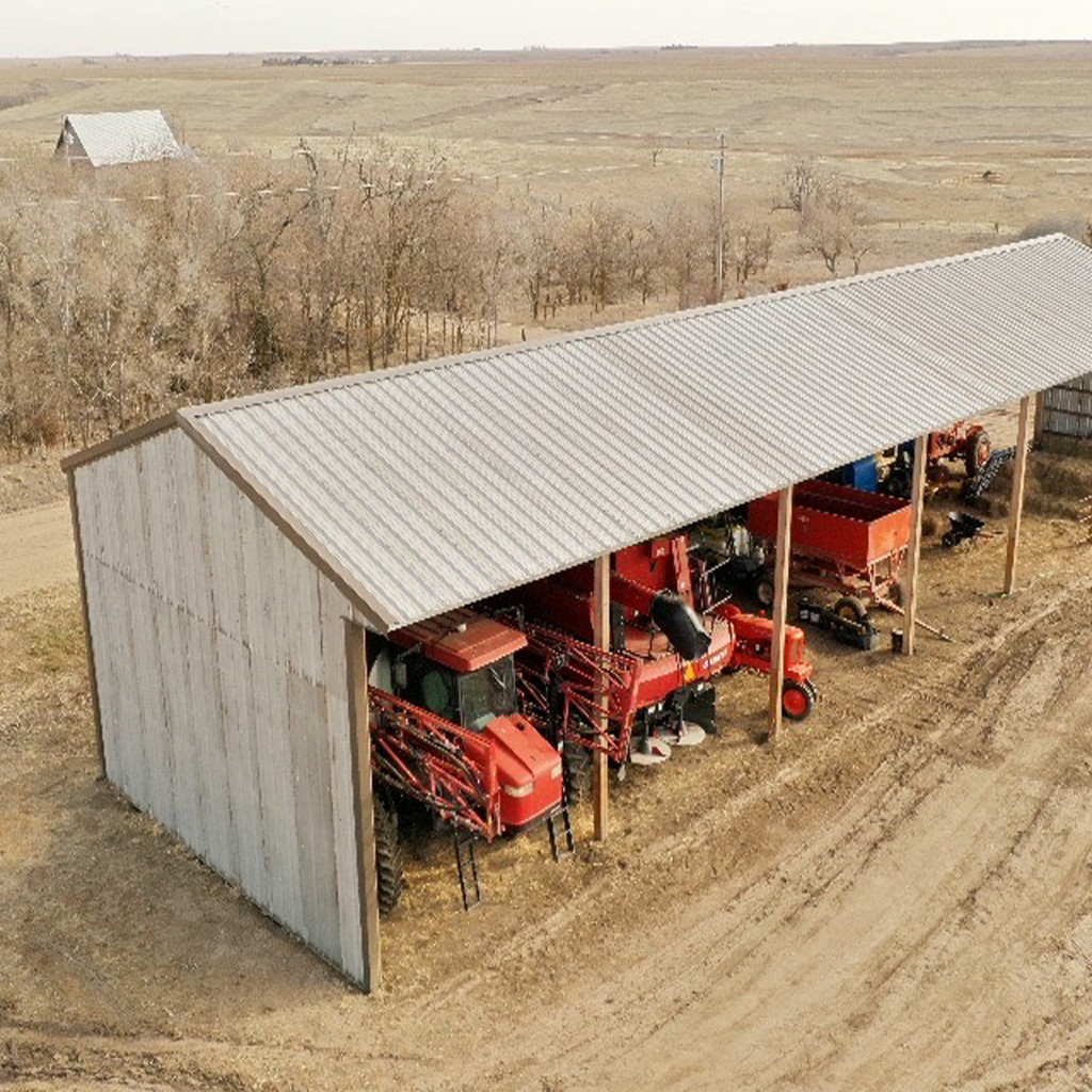
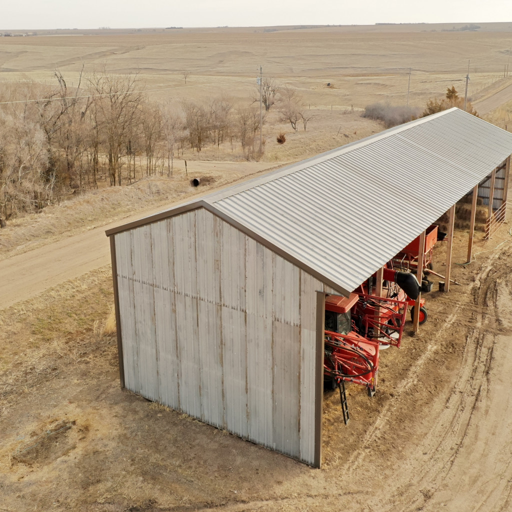
- Newly constructed 26’x96’x16′ open-faced storage shed and a small holding pen, built with new continuous fence panels just off County Road I.
- Submersible well located at the north end of the property.
- 2 stock tanks in good condition.
- Four-wire barbed wire fence surrounds the pasture.
FSA Information
Total Cropland Acres: 93.55 +/-
Wheat – 20.04 Base Acres – 44 PLC Yield
Corn – 40.04 Base Acres – 92 PLC Yield
Safflower – 3.24 Base Acres – 682 PLC Yield
Soybeans – 3.19 Base Acres – 30 PLC Yield
Grain Sorghum – .05 Base Acres – 111 PLC Yield
Total Base Acres – 66.56
Norton23
PROPERTY LOCATION
From Norton, KS, travel west on Highway 36 for approximately 1 mile, turning north onto County Road W2. Continue driving on
County Road W2 for 3.5 miles. The property will begin on the west side of the road. As you keep driving along the property to the intersection of W2 & Road I, turn left and drive for .5 miles. The property's main entrance will be on the south side of the road. Signs will be posted.
Latitude: 39.884658 / Longitude: -99.93409
The information contained herein is as obtained by AgWest Land Brokers LLC—Holdrege, NE from the owner and other sources. Even though this information is considered reliable, neither broker nor owner make any guarantee, warranty or representation as to the correctness of any data or descriptions. The accuracy of such statements should be determined through independent investigation made by the prospective purchaser. This offer for sale is subject to prior sale, errors and omissions, change of price, terms or other conditions or withdrawal from sale in whole or in part, by seller without notice and at the sole discretion of seller. Readers are urged to form their own independent conclusions and evaluations in consultation with legal counsel, accountants, and/or investment advisors concerning any and all material contained herein. Maps are for illustrative purposes only and are not intended to represent actual property lines.
PROPERTY INFORMATION
Total Acres: 156
Dryland Acres: 86
Grass Acres: 65
Taxes: $1,218
Mineral Rights: all owned minerals convey