Roughly 510 ft. of 6″ diamond plastic pipe with 30″ gates, 1-6″ shutoff, Isuzu Power unit, 500 gallon diesel fuel tank, 15 hp generator, 4 cylinder IH power unit
1-submersible well, 2-western landroller irrigation pumps with pulley heads, 2 irrigation casings with no pumps in them
7 tower early 2000 T&L pivot
Legal Description:
Pt of Southeast 1/4 & Lots 3 & 4 Section 34,Township 16 North, Range 5 West
Nice large lot for sale in the Northwestern edge of Arnold, NE. Property has great protection, sewer and electricity established.
Legal Description
Lot 11, except the North 30.0′ of Lot 11, and except the East 75.0′ of Lot 11, Block One (1), R.E. Allen’s Second Addition to Arnold, Custer County, Nebraska
This dryland farm offers 97+/- acres of high-quality dryland crop ground featuring Holdrege Silt Loam soils, with the remaining acres consisting of pasture ground. This farm is located in a strong farming community and within close proximity to many competitive grain markets.
Legal Description – Southwest 1/4 Section 2, Township 4 North, Range 20 West Harlan County, Nebraska
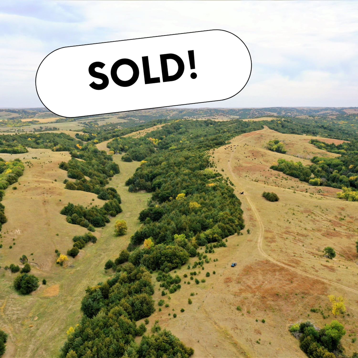
Tucked away in the rolling grass hills of Norton County, KS, the R.D. Swede Ranch showcases some of the most beautiful scenery Northwest Kansas has to offer. With nearly 700 acres spread across this large rolling landscape, giant cottonwoods, cedar trees, and thickets fill in the deep canyon draws that carve through the ranch. As you drive through the property you will notice the ranch offers an even mixture of cool and warm season grasses and a thin line of brush hugging the tree lines. The abundance of natural springs seeping from the hillsides creates a vibrant green landscape at the bottom of the draws as the stream makes its way to the Solomon River. These springs provide a strong year-round water source for the cattle and wildlife on this property. With nearly 2 miles of thick tree cover surrounded by brush and CRP grasses, this ranch offers world-class hunting for whitetail, mule deer, turkey, and upland game. As you turn off Highway 283, the private rocked drive will bring you to the main house at the north end of the ranch. The comfortable cinder block house comes with a large 60’x40′ shop and the original milk barn that has withstood time. The R.D. Swede Ranch offers beautiful scenery, world-class hunting, and sits in a great location for anyone looking to add acres to their ranch or land portfolio. Don’t miss out on this once-in-a-lifetime opportunity!
Additional Property Details
15-ton overhead bulk bin
8’x40′ storage container
60’x40′ dirt floor shop
four wire barbed-wire fences with creosote posts and hedge corners in excellent condition
two wire high tinsel fence with plastic composite posts and hedge corners in excellent condition
3 bedroom, 1 bathroom home, appliances stay
Legal Descriptions
SW4 SW4 Section 20 Township 05 Range 22
W2 NW4 Section 29 Township 05 Range 22
All SW4 Lying W OF Sager Road Section 29 Township 05 Range 22
E2 NE4 Section 30 Township 05 Range 22
All NW4 Lying E of Highway 283; W2NE4 & SE4 Less Road R/W Section 30 Township 05 Range 22
Legal Description – Northeast 1/4 Section 10, Township 3 North, Range 18 West
Well Information – G-068080, drilled March 1982, 1,400 gpm, 191′ static level, 221′ pumping level, 320′ well depth.
Irrigation Information – 10-tower Zimmatic pivot, Caterpillar power unit, diesel tanks, gearhead, well shed, and generator included.
Located in the Lower Republican NRD and has certified irrigation rights for 131.2 acres. Water use in the area is regulated and the 2023 allocation for the next five years is 45″. In addition, the farm has 9″ of carryover from the previous allocation. For more information, please contact the Lower Republican Natural Resources District, (308) 928-2182.
Driving Directions – From Holdrege, NE travel south on Highway 183 for 13 miles and head east on 719 Road for 2 miles. The farm will be on the southwest corner of 719 Road and P Road.
Legal Description – Northwest 1/4 Section 11, Township 3 North, Range 18 West
Well Information – G-068081, drilled April 1982, 1,640 gpm, 147′ static level, 167′ pumping level, 280′ well depth.
Irrigation Information – 10-tower Zimmatic pivot, Catepillar power unit, diesel tanks, gearhead, well shed, and generator included.
Located in the Lower Republican NRD and has certified irrigation rights for 132 acres. Water use in the area is regulated and the 2023 allocation for the next five years is 45″. In addition, the farm has 9″ of carryover from the previous allocation. For more information, please contact the Lower Republican Natural Resources District, (308) 928-2182.
Additional Information – 20,000 +/- bushel grain bin included in the sale.
Driving Directions – From Holdrege, NE travel south on Highway 183 for 13 miles and head east on 719 Road for 2 miles.The farm will be on the southeast corner of 719 Road and P Road.
Legal Description – East 1/2 Southwest 1/4 Section 11, East 1/2 Northwest 1/4 & Northeast 1/4 Southwest 1/4 Section 14, all in Township 3 North, Range 18 West
Well Information – A-005435, Drilled July 1953, 1,000 gpm
Irrigation Information – 8-tower Valley pivot, Caterpillar power unit, diesel tanks, gearhead, well shed, and generator included.
Located in the Lower Republican NRD and has certified irrigation rights for 149.1 acres. Water use in the area is regulated and the 2023 allocation for the next five years is 45″. In addition, the farm has 9″ of carryover from the previous allocation. For more information, please contact the Lower Republican Natural Resources District, (308) 928-2182.
Driving Directions – From Holdrege, NE travel south on Hwy 183 for 13 miles and head east on 719 Road for 2 miles, travel south 1 mile to 718 Road and head east a 1/4 mile.The farm will be on the north and south side of 718 Road.
FSA Information
Total Cropland Acres: 468.3
Wheat – 70.8 Base Acres – 48 PLC Yield
Corn – 356.1 Base Acres – 187 PLC Yield
Grain Sorghum – 35.1 Base Acres – 79 PLC Yield
Total Base Acres: 462
**Base acres from all tracts are combined. Base acres to be prorated across all acres after closing.
Located just a short drive from Phillipsburg, KS, sits 80+/- acres of rolling grass hills with several tree-filled draws carving through the property.This parcel is perfect for adding more grass to your ranch, a scenic build site in the country, or to enjoy the hunting/recreational features this property offers. With an even mix of cool and warm season grasses, along with three ponds for watering livestock, this property is ready for cattle with immediate possession at closing. This tract is surrounded by a four-wire barbed-wire fence in good condition, and is only 4 miles off US Hwy 183, offering easy access to the property. The deep draws running through the tract are filled with cedar and hardwood trees offering great wildlife habitat for the local whitetail deer and turkey in the area.
Whether you want to add to your ranch, build a home outside of town, or own your very own hunting land, don’t miss out on this great property!
Legal Description
Southwest 1/4 Northwest 1/4 & Northwest 1/4 Southwest 1/4, Section 31 – Township 02 South – Range 18 West, Phillips County, KS
This 3 bedroom, 2 bath home on a corner lot & a half is a must-see with lots of upgrades!
The front deck welcomes you in to the main level, which features a beautiful living room, dining room, walk-through kitchen, and hardwood flooring throughout. The washer/dryer and all kitchen appliances stay with the home, including fridge, stovetop/oven, and dishwasher.
Enjoy your morning coffee with the sunrise on the brand-new deck.Entertain your guests until the sun sets with the comfort of the new pergola and built-in sunshades. The lawn, landscaping, and trees are all well-established and easily maintained with underground sprinklers.
On the finished lower level is a large family room offering many possibilities, an oversized full bath with updated flooring, a storage room, and access to the single car garage.Upgrades include a new roof in 2017, a water heater in 2018, and a brand-new central air conditioning unit in 2022!Don’t miss the opportunity to tour this home with gorgeous sunrises and sunsets in a very peaceful and quiet neighborhood.
Legal Description:
LOT 6 & S1/2 LOT 7 – BLOCK 52R – TIENSVOLD SUBDIVISION – RUSHVILLE
Online Land Auction – Bohys Canyon Rangeland – 238.00 +/- Acres in Custer County, NE
Bidding Opens: Monday, November 28th at 10 a.m.
Bidding Closes: Monday, December 5th at 12 Noon
AgWest Land Brokers agents will be present to help buyers in person on Monday, December 5th at 11 a.m. at:
Loup County Community Center
406 4th Street
Taylor, Nebraska 68879
Here’s a rare opportunity to purchase some prime hardland pasture located only a few miles southeast of Taylor, NE. The property consists of 238.0 +/- acres of well-managed hardland pasture that is set up with an underground waterline system feeding several tanks and hydrants. The seller has spent over $20,000 in the last couple of years managing the volunteer cedars and all interior fences have been replaced with hedgeposts and three-wire fences. There is an old field that is located in the southeast corner of the property that offers some of the most beautiful views any outdoorsman could ask for. It could be replanted to attract some of the local wildlife in the area, which includes mostly turkey, whitetail deer, mule deer, and elk. The property is owner rated at 60 cow/calf pair for a 5-month grazing season and is split into 6 different pastures situated for rotational grazing. Sellers own an additional 160 +/- acres to the north of the subject property. Buyers will be offered first-right-of-refusal on this property after purchase. Also, the sellers will allow the buyers full use of the cattle working facilities located off the gravel road to the north of the subject property. The 160 +/-acres being retained by the sellers are connected to the same waterline as the subject property. Sellers have agreed to pay the buyers $750/year for the use of the buyer’s well.
Legal Description:
Part of North ½ Northwest ¼ , Northwest ¼ Northeast ¼ , South ½ Northeast ¼ , Northeast ¼ Southeast ¼, Section Eight (8), Township Twenty (20) North, Range Seventeen (17) West of the 6th P.M., Custer County, NE.
Part of Southwest ¼ , Section Five (5), Township Twenty (20) North, Range Seventeen (17) West of the 6th P.M., Custer County, NE.
*FINAL LEGAL DESCRIPTION AND ACRES TO COME FROM COMPLETED SURVEY
Up for auction are 3 nice laying flat farms located close to multiple elevators and an ethanol plant.
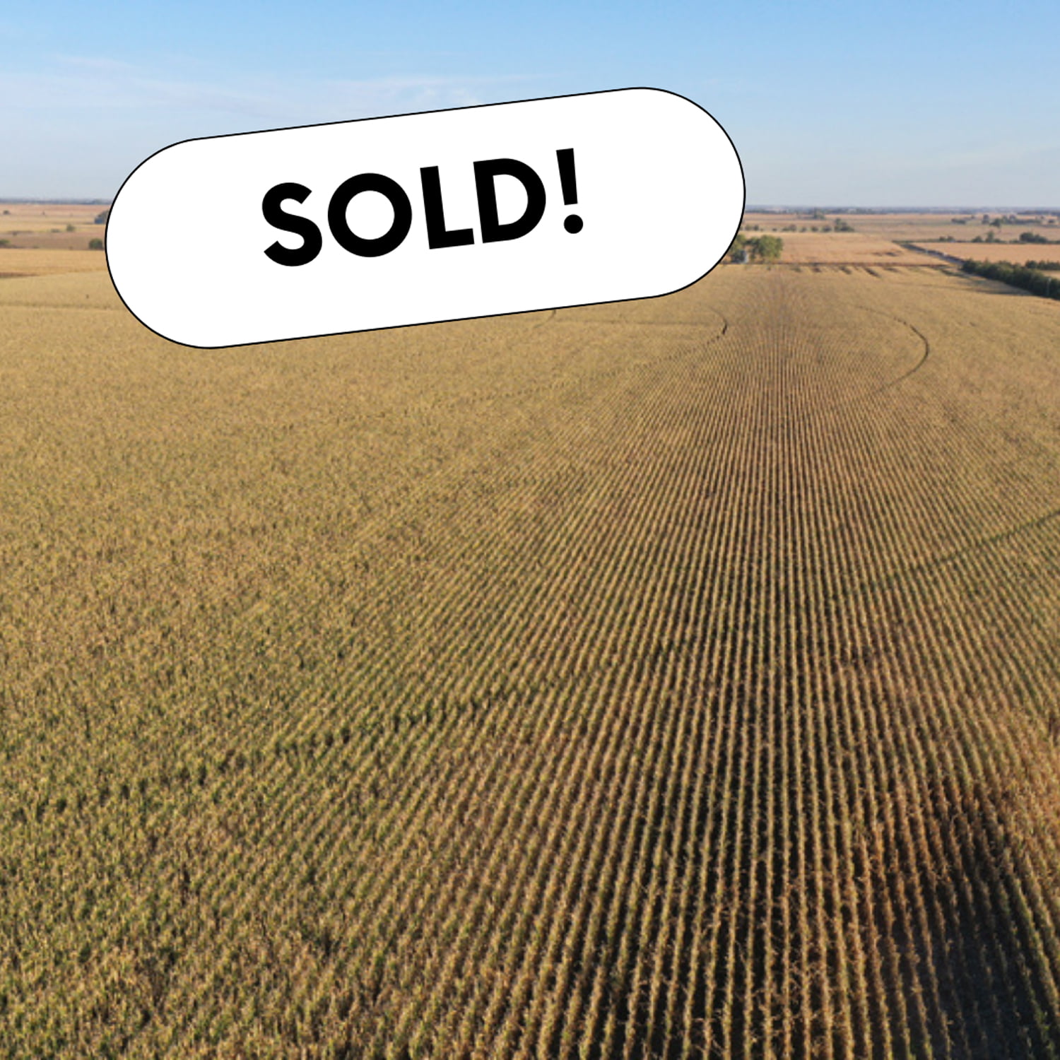
Tract 1 and Tract 2 are just across the road from each other.Each is set up for a half swing pivot with the ability to water the corners.
Tract 2 has Silver Creek running through the north part of the farm.
Tract 3 is a nice flat pivot-irrigated 80 with the ability to irrigate the corners.
Tract 1
Total Acres (Per Assessor) – 80.05 +/-
Irrigated Acres – 77.14 +/-
Dryland Acres – 1.92 +/-
Other Acres – 0.99 +/-
Real Estate Taxes – $2,882.04
Legal Description – E1/2 NW1/4 Section 26, Township 15N, Range 5W, Merrick County, Nebraska
Driving Directions – Take Hwy 30 west of Clarks to 24 Rd.Turn north and go roughly 3 miles to W Rd.Turn west and go 1/2 mile.
Property is located on south side of the road.
Irrigation Information
Pivot and power unit are owned by tenant and do not convey with the property.Wells to pivot set up at 650GPM.
Irrigation Equipment – 4 Wells
Well 1: G-045876A drilled in Jan 1950, 1,000 gpm, 7′ static level, 26′ well depth.
Well 2: G-045876B drilled in May 1948, 1,000 gpm, 7′ static level, 30′ well depth
Well 3: G-045876C drilled in Jan 1982, 400 gpm
Well 4: G-045876D drilled in Jan 1982, 500 gpm
FSA Information
Total Cropland Acres: 79.53
Wheat – 11.51 Base Acres – 38 PLC Yield
Corn – 31.66 Base Acres –160 PLC Yield
Soybeans – 6.03 Base Acres – 48 PLC Yield
Total Base Acres – 49.2
*Estimated division of base acres between
Tract 1 and Tract 2
Tract 2
Total Acres (Per Assessor) – 80.62+/-
Irrigated Acres – 77.73 +/-
Grassland Acres – 1.89 +/-
Other Acres – 1.00 +/-
Real Estate Taxes – $2,942.72
Legal Description – E1/2 SW1/4 Section 23, Township 15N, Range 5W, Merrick County Nebraska
Driving Directions – Go west of Clarks on Hwy 30 to 24 Rd.Turn north and go roughly 3 miles to W Rd.Turn west and go 1/2 mile .Property is on the north side of the road.
Irrigation Information
Tenant owns pivot and is not included.Wells feeding into the pivots are 650GPM.
77.73 certified irrigated acres, of which 44.61 ac were issued under the Impacts Below Chapman (IBC) program in 2012 & 2013.These acres “could” be subject to needing offsets should the board deem these acres are adversely impacting Platte river stream flows.This is unlikely to happen, but these acres are subject to such rule.
Included with property:
10,000 bushel grain bin with fan and burner. Subject to lease ending September 1, 2023.
Irrigation Equipment
Well 1: G-045877 drilled in June 1955, 1,000 gpm, 6′ static level, 43′ well depth
Well 2: G-045879 drilled in June 1967, 650 gpm, 6′ static level, 30′ well depth
Well 3: G-163741 drilled in April 2012, 725 gpm, 7′ static level, 15′ pumping level, 30′ well depth
FSA Information
Total Cropland Acres: 75.98
Wheat – 10.99 Base Acres, 38 PLC Yield
Corn – 30.24 Base Acres –160 PLC Yield
Soybeans – 5.77 Base Acres – 48 PLC Yield
Total Base Acres – 47.0
*Estimated division of base acres between
Tract 1 and Tract 2
Tract 3
Total Acres (Per Assessor) – 78.45 +/-
Irrigated Acres – 75.74 +/-
Grassland Acres – 0.77 +/-
Other Acres – 1.94 +/-
Real Estate Taxes – $2,765.02
Legal Description – W1/2 NW1/4 Section 1, Township 15N, Range 5W, Merrick County, Nebraska
Driving Directions – Go west of Clarks to 24 Rd.Turn north and go roughly 5 miles to Z Rd.Keep going north 1/2 mile.Property is located on the east side of the road.
Irrigation Information
7 tower T&L pivot set up for roughly 250 GPM
Irrigation Equipment
Well 1: G-050752 drilled in May 1976, 230 gpm, 8′ static level, 30′ pumping level, 34′ well depth.
Well 2: G-105390 drilled in Jan 1960, 200 gpm, 6′ static level, 34′ pumping level
Well 3: G-140750 drilled in June 2006, 250 gpm, 10′ static level, 22′ pumping level, 33′ well depth