1,230.58 +/- Acres of Pasture/Dryland in Graham County, KS


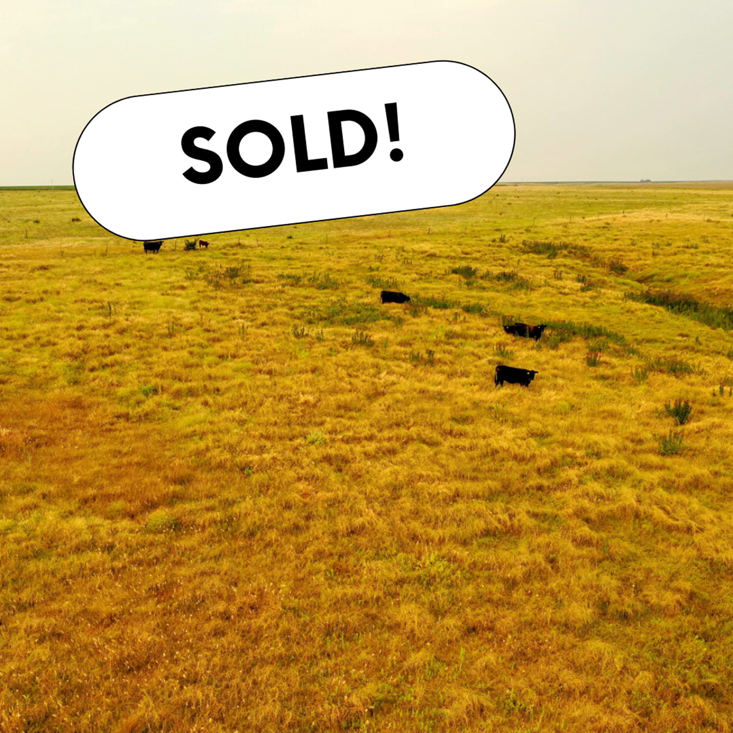
Situated in Northern Graham County, KS along the Norton County line, the Spring Creek Ranch is selling 1,230.58+/- acres of their south ranch.  Here is a rare opportunity to purchase this large ranch estate, selling in two tracts or combined as one.  If you are looking to add large acres to your ranch or land investment portfolio, look no further than these two large tracts from Spring Creek Ranch.

Tract 1 Acres – 707.07 +/-  |  206.07 Tillable Base Acres & 501 Grass Acres

TRACT 1 is located approximately 4.5 miles South of Lenora, KS, running along Goddard and CC Road.  This property is composed of 707.07+/- acres of large, rolling grass hills and deep, canyon-like draws.  As you tour the property, several white rock outcroppings sweep along the hillsides before dropping off into the valleys below.  This terrain provides excellent habitat for the local mule deer, whitetail, and upland game that travel throughout the property.  On this ranch is one submersible well piped to three stock tanks, with one tank just off CC Road and the other two located in the center of the property.  There is a capped well in the northwest corner of the property, giving the chance for an additional well if needed.  With this tract comes 206.07+/- tillable base acres located on the central and eastern hilltops.  These soils consist entirely of Class II & III Holdrege and Uly silt loam soils, providing an excellent opportunity to add tillable acres to this tract.

Tract 2 Acres – 523.51 +/-  |  523.51 Total Grass Acres

TRACT 2 is located roughly two miles south of New Almelo, KS, with the pasture entrance just off County Road W12 on the south side of the curve.  As you drive into the entrance of this 523.51+/- acre pasture, you will notice the picturesque view of the valley as the elevation slowly rises up to the peak of an enormous hill overlooking the entire property.  Down in the valley, a submersible well with two stock tanks sits in the center off a well-built pipe and woven wire corral setup, with electricity present at the corral.  In the center of the pasture sits a solar well, filling two additional stock tanks, providing an abundance of water sources for your livestock.  This incredible setup offers an outstanding opportunity to expand your cow herd, having easy access from a well-graveled road.

Legal Descriptions

Tract 1 – S07, T06, R24, ACRES 547.07, W2 NE4, NW4 & S2 LESS A TR BEG 2264 W OF SE COR SE4 TH N 878 TH E 784 TH SELY 1015 TH W 1319 TO POB ALSO LESS RD R/W;  S12, T06, R25, ACRES 160, NE4

Tract 2 – S04, T06, R25, ACRES 322.74, W2 NE4, NW4 & W2 SW4;  S05, T06, R25, ACRES 84.75, N2 NE4 LESS RD R/W;  S05, T06, R25, ACRES 116.02, E2 SE4 & SE4 NE4

Property Taxes – Tract 1: $1,738.00 Tract 2: $1,296.82

Price – Tract 1 – $895,558.50  Tract 2 – $602,036.50

Graham07

225.72 +/- Acre Pivot Irrigated Farm in Kearney County

  • Outstanding pivot irrigated farm with swing tower pivots.
  • Located south of Norman, Nebraska on a paved road.
  • Offers over 70% Class I Holdrege and Detroit silt loam soils.
  • Open for the 2022 crop season.

Legal Description – N1/2 SE1/4 Section 29, T6N, R13W and NE1/4 of Section 29, T6N, R13W excluding farmstead acreage

FSA Information

Total Cropland Acres: 220.91

Corn: 144.2 Base Acres – 199 PLC Yield

Soybeans: 76.7 Base Acres – 60 PLC Yield

Total Base Acres: 220.9

Irrigation Information – Located in the Tri-Basin NRD and has certified irrigation rights for 213.47 acres.

Well Information

North Well:  G-029594, drilled in 1986, 1,300 gpm, static level 98 ft., pumping level 150 ft., well depth 233 ft.

South Well:  G-098767, drilled in 1998, 800 gpm, static level 90 ft., pumping level 90 ft., well depth  200 ft.

Pivot Information

South pivot: 1996 T&L with 2015 swing tower

Pivot East of House: 1980 5 tower T&L pivot

Pivot West of House: 1980 4 tower T&L pivot with 2015 swing tower

Kearney12

232.99 +/- Acre Dryland Farm in Red Willow County

Take advantage of this large tract of cropland on the outskirts of McCook, Nebraska. This property lays just north of the Republican River and south of Highway 6. Open for the 2022 crop year.

Legal Description – Pt. SE ¼ SW, NE ¼ SW (S of RR) Pt. SE ¼ Section 25, Township 3 North, Range 30 West and Pt. N ½ NE, Pt. S1/2 NE or Lot 1 Pt. Lot 2 NE NW Section 36, Township 3 North, Range 30 West

Red Willow05

572 +/- Acres of Recreational/Pasture Land in Furnas County, Nebraska


Here’s your chance to acquire a beautiful pasture that offers an outstanding wildlife habitat.  The pasture is leased through the 2021 grazing season.  Don’t miss out on this great opportunity!

Legal Description – North 1/2, East1/2 Southwest1/4, Southeast1/4 all in Section 27, Township 1 North, Range 22 West

Furnas08

160 +/- Acre Combination Farm in Webster County, NE

  •  Nice combination farm that consists of dryland, grassland, and CRP acres.
  • Offers productive Holdrege Silt Loam soils.
  • Two dams and a submersible stock well provide water for the pasture.
  • Don’t miss this opportunity to own an outstanding farm!

Well Information – #G-164750, drilled in 2012, 225’ well depth, pumping 10 gpm, 180’ static water level, 180’ pumping level

CRP Information – 37.09 acres are enrolled in the CRP program. The CRP rental rate is $125.07/acre. Annual payment is shared 50-50 with the tenant.

FSA Information

Total Cropland Acres: 76.09

Wheat: 9.75 Base Acres – 39 PLC Yield

Corn: 19.5 Base Acres – 113 PLC Yield

Soybeans: 9.75 Base Acres – 44 PLC Yield

Total Base Acres: 39.00

Webster07

76.80 +/- Acres of CRP/Recreational Land in Norton County, Kansas

  •  Incredible hunting and investment property!
  •  Located only two and a half miles north of Edmond, Kansas, along County Road E4.
  • Provides an abundance of wildlife habitat (whitetail deer, pheasant, quail, etc.).
  • Deep draws lined with large thickets and heavy brush cover are stretched across the property.
  • Don’t miss out on this great opportunity!

Annual CRP Payment – $2,292.00

Legal Description – W2 NW4 33-4-22

Norton15

100.69 +/- Acre Pivot Irrigated Farm in Clay County

  • Nice laying, pivot irrigated farm.
  • South of Sutton, NE along a blacktop road.
  • Offers productive soils and close access to grain markets.
  • Subject to current lease that expires December 31, 2021.
  • Don’t miss this opportunity to own an outstanding farm!

Legal Description – Pt. N 1/2 SW 1/4 and Pt. S 1/2 SW 1/4 East of Road of Section 11, Township 7 North, Range 5 West

FSA Information:

Total Cropland Acres: 95.7

Corn: 81.0 Base Acres – 202 PLC Yield

Soybeans: 14.6 Base Acres – 68 PLC Yield

Total Base Acres: 95.6

*Farm is enrolled in the ARC-County program

Irrigation & Well Information:

  • Valley irrigation pivot included with the sale.
  • Located in the Upper Blue NRD and has certified irrigation rights for 97.33 acres.
  • Well #G056654 – Drilled in 1977, 1,200 gpm, 110 ft. static level, 126 ft. pumping level, 240 ft. well depth.

Clay06

159.28 +/- Acre Pivot Irrigated Farm in Phelps County

  • Nice laying, pivot irrigated farm.
  • Near Loomis, NE off a blacktop road.
  • Offers productive, Holdrege Silt Loam soils.
  • Centrally located near several grain elevators and feedlots that offer competitive grain markets.
  • Subject to current lease that expires December 31, 2022.

Legal Description – Pt. SE 1/4 of Section 7, Township 6 North,  Range 19 West

FSA Information:

Total Cropland Acres: 154.59

Corn: 151.0 Base Acres – 175 PLC Yield

Soybeans: 0.6 Base Acres – 56 PLC Yield

Total Base Acres: 151.6

*Farm is enrolled in the ARC-County program

Irrigation information:

2007 Valley 8000 Irrigation Pivot  (landowner to own pivot equipment at end of current lease).

Located in the Tri-Basin NRD and has certified irrigation rights for 155.34 acres.  There are 157 acres of CNPPID water.

Phelps18

Meridian Canyon Ranch – A Recreational Property in Custer County


Property Overview: Located in northeastern Custer County, near Sargent, NE, is a hidden one-of-a-kind recreational property.   There are approximately 2,340 +/- acres, with 1,914 +/- acres of that being pasture and recreational land that includes a mixture of deciduous and cedar trees, providing a great habitat for deer, turkey, elk, and several exotic animals.  There are several trails and scenic views overlooking the property, as well as several ponds and water sources for livestock and other animals spread throughout.  The other 426 +/- acres consist of dryland, hay meadow, and food plots for all your upland bird hunting.  The entire property is surrounded by an 8 ft. high tensile fence, which requires very little maintenance, with a remote-operated gate at the entrance.

Another desirable feature of the property is a 3 bedroom, 4 bathroom, 1,837 sq. ft. furnished rustic log cabin home built in 2001, with a   beautiful wood log and stone exterior.  Large windows throughout the home present natural lighting, along with breathtaking views of the property.  The updated kitchen and large stone fireplace in the living area serve as the heart of the home, with a guest suite and master suite to each side.  The master suite features a tiled bathroom, a large walk-in closet, and access to the wraparound deck that overlooks the beauty of the Meridian Canyon Ranch, where you can enjoy the sounds of elk bugling, birds chirping, and all the other wonderful sounds of nature with no neighbors in sight.  Downstairs you will find an entertainment area, office area, wet bar, and an additional guest bedroom with walk-out doors to the lawn.

Sitting next to the home, built in 2005, is a 390 sq. ft. art studio built within a detached, 598 sq. ft. rustic log cabin, two-car garage with a small workbench and control box for the underground sprinkler system.

There is a 40’ x 60’ steel building with concrete floors, workbenches, and electricity.  A registered irrigation water well sits just to the north of the building and is set to pump 700 gpm.  The property is located in the Lower Loup NRD Water District.

Additional Income:  To generate additional income and utilize the land in the summer months, the property is used for grazing, haying, and farming.  During the winter months, the property is used entirely for recreational purposes, selling all kinds of big game, exotic, predator, and bird hunts, along with property tours.

Current Leases on the Property:

Summer Pasture Lease Expires 2021

Farm Ground Lease Expires 2021

Hunting Lease that Expires March 31st, 2025

Income Potential:

150 cow/calf pairs @ $50/month for 6 months = $45,000

Farm ground income = $11,000/year (Prices vary with different Crops)

Hunting Lease $3,500/month for 12 months = $42,000

Total Income Potential: $98,000

Legal Descriptions:

Parcel ID: 001363910

Legal: PAR in SW ¼ Section 27 Township 20 North Range 17 West

49 +/- Acres Corner TWP Custer County, NE

Parcel ID: 001364000

Legal: W ½ NW Section 27 Township 20 North Range 17 West

79.98 +/- Acres Corner TWP Custer County, NE

Parcel ID: 001364100

Legal: N ½ Section 28 Township 20 North Range 17 West

319.25 +/- Acres Corner TWP Custer County, NE

Parcel ID: 001364200

Legal: SW SE Section 28 Township 20 North Range 17 West

40.07 +/- Acres Corner TWP Custer County, NE

Parcel ID: 001364300

Legal: SW ¼, N ½ SE, SE SE Section 28 Township 20 North Range 17 West

280.22 +/- Acres Corner TWP Custer County, NE

Parcel ID: 001364600

Legal: E ½ NE, SE ¼ Section 29 Township 20 North Range 17 West

240.91 +/- Acres Corner TWP Custer County, NE

Parcel ID: 001365220

Legal: NE SW, N ½ SE & N ½ E RD Section 32 Township 20 North Range17 West

338.42 +/- Acres Corner TWP Custer County, NE

Parcel ID: 001365300

Legal: S ½ SE Section 32 Township 20 North Range 17 West

80 +/- Acres Corner TWP Custer County, NE

Parcel ID: 001365400

Legal: SW ¼ Section 33 Township 20 North Range 17 West

160.1 +/- Acres Corner TWP Custer County, NE

Parcel ID: 001365500

LegaL: NW NW, S ½ NW Section 33 Township 20 North Range 17 West

120.22 +/- Acres Corner TWP Custer County, NE

Parcel ID: 001365600

Legal: E ½ NE NW Section 33 Township 20 North Range 17 West

360.47 +/- Acres Corner TWP Custer County, NE

Parcel ID: 001365700

Legal: NW ¼, Section 34 Township 20 North Range 17 West

160.3 +/- Acres Corner TWP Custer County, NE

Parcel ID: 001365900

Legal: SW ¼ N of RD Section 34 Township 20 North Range 17 West

110.1 +/- Acres Corner TWP Custer County, NE

Water Wells:

Located in the Lower Loup NRD, there are two registered wells on this property.

Registration# G-100153, drilled 1998, 700 gpm, 226’ static level, 275’ pumping level, 320′ pump depth, 620′ well depth, 8” column.

House Well: Registration # G-106740, drilled 2000, 23 gpm, 220′ static level, 233′ pumping level, 273′ pump depth, 340′ well depth, 1″ Column

Custer12

285.68 +/- Acre Irrigated farm in Merrick County

  • Highly productive, level farm.
  • Located right off of Highway 30.
  • Great access to elevators and ethanol plants in the area.
  • This farm has 254.67 certified irrigated acres.

Additional items: 2 – 7,350 bushel grain bins & irrigation wells (no electric motors or power units).

Legal Description – Pt. S 1/2 NE 1/4 & SE 1/4 Section 8, Township 13 N, Range 6W; E 1/2 SW 1/4 Section 8, Township 13N, Range 6W

Merrick15