Located in northeastern Lincoln County, NE sits 110.39 -/+ acres of well managed grassland with scenic views and building potential. The property has been cross fenced into two separate pastures with all newer interior and exterior fences. The property has ease of access from East Garfield Table Road, which is a blacktop road that connects to US Hwy 83 to the west. Electricity and fiberoptic is located all along the north boundary line for anyone who is looking to build their dream county home. There are no current leases in place so the property is open for the current grazing season. Water has been provided from the neighbors well in the past as there is a livestock tank located along the east boundary line. Please Note: Agent is also an owner of the property.
– 25 Miles from North Platte, NE – 16.5 Miles from Stapleton, NE – 16 Miles from Arnold, NE
Legal Description – Part of the North Half (1/2) Section Sixteen (16) Township Sixteen (16) North Range Twenty-Seven (27) West of the 6th P.M. Lincoln County Nebraska
AgWest Land Brokers is proud to offer a beautiful river property to make family memories for years to come. This one-of-a-kind recreational property has nearly 80 acres of trees with approximately 1/4 of a mile of the Republican River running through the property.
The farm also offers 40 acres of income-generating irrigated cropland that can be used for growing alfalfa, corn, or the possibility of enrolling into a conservation program. The outdoor sportsman can enjoy the local wildlife, including, whitetail & mule deer, turkey and upland birds. This is the property you have been looking for. Give Jeff a call for more information on this outstanding river property.
121.5 +/- Acres (Per Assessor)
Recreational Acres – 78.99 +/-
Irrigated Acres – 42.51 +/-
Real Estate Taxes
$3,000 estimated
Legal Description – Government Lots 2, 3, 4, and part of Lot 5 Section 18 & Lot 1, part of Lots 2 & 3 Section 19, Township 3 North, Range 27 West, of the sixth Principal Meridian, Red Willow County, Nebraska
Irrigation Information – Located in the Middle Republican NRD with certified irrigation rights for 40.83 acres.
Irrigation Equipment –
South Well G-036369 drilled in 1971, 750 gpm, 5′ static level, 35′ pumping level, 44′ well depth
North Well A-007382 drilled in 1988, 1,100 gpm, 7′ static level, 26′ pumping level, 67′ well depth
FSA Information
Total Cropland Acres: 53.21
Wheat – 25.87 Base Acres – 50 PLC Yield
Corn – 21.93 Base Acres – 118 PLC Yield
Soybeans – 3.46 Base Acres – 44 PLC Yield
Total Base Acres – 51.26
**Base acres are combined with other tracts. Base acres to be prorated by FSA office after closing.
This beautiful Sandhills property is the deer haven you have been looking for! You will not want to miss out on this opportunity!
The Nebraska Sandhills
The Sandhills region, known for its mixed-grass prairie on grass-stabilized sand dunes, covers most of the western part of Nebraska. The north end of this 707+/- acre property boasts expansive pastureland that transitions into the rolling Sandhills of Nebraska.
Throughout the Sandhills you’ll find deep pockets of terrain held in place by warm-season grasses that are brimming with mule deer throughout the year, making it an ideal spot and stock hunting paradise with great options for potential food plots.
Many species of wildlife make the Sandhills home on this property including antelope, coyotes, and sharp-tail grouse. The Sandhills acres sit atop one of the world’s largest aquifers, the Ogallala Aquifer, with power lines located within 100 yards of the fence line, making it an excellent location for building the hunting cabin of your dreams!
Ogallala Aquifer
High Plains Aquifer – Also called the Ogallala Aquifer, is an area of about 174,000 square miles and extends through parts of eight states in the Midwest. This aquifer is the principal source of water in one of the major agricultural areas of the United States.
“The Sandhills region is one of the largest contiguous and least disturbed prairies in all of the United States.”
Source: extension.unl.edu
Ranch Details
The ranch provides a great opportunity for summer grazing and income generation. The current owners of the property suggest that the grass can be used for summer grazing for up to 60 pairs in a period of 5-6 months, providing an excellent income stream. Additionally, there is the possibility of leasing out the grazing rights.
The well-maintained fences are in great condition and undergo an inspection every spring, with many new posts installed in the spring of 2022.
There are two 8 ft. windmills with new galvanized pipe, a new tire tank on the south windmill, and plastic pipe on the north windmill. A solar well with a new pump (installed in 2022) is situated in the middle of the property, between the two windmills, offering an excellent source of water for cattle throughout the property.
Legal Descriptions
Township 26 North – Range 41 West of the 6th P.M.
Section 17:E ½ (317.68 +/- Acres)
Section 20: E ½, NE ¼ (77.86 +/- Acres)
Section 21: N ½ (312.14 +/- Acres)
AgWest Land Brokers agents will be at Chambers Community Center on May 17th from 11 am until the conclusion of the auction.
Bid online at: Bid.AgWestLand.com
AgWest Land Brokers is proud to offer this half section of pasture, which is a great addition to any operation. The pasture is cross fenced to offer 3 separate paddocks for rotational grazing. Three established, fenced shelterbelts allow for good livestock protection and wildlife habitat. Water is supplied by windmill and two dugouts. Fence has been well maintained by the owner. Cedar trees and thistles have been carefully managed on this property.
Located near Chambers, right off Hwy 95 with good road access on the east side of the property as well.
Legal Description – Pt. East 1/2 Section 21, Township 26 North, Range 12 West, Holt County, Nebraska. 5 +/- acres in southeast corner not included.
Here is your chance to build the perfect getaway or permanent residence right on the lake! Opportunities like this don’t come up every day, and this acreage won’t last long! Two of the five acreages in this area have already sold this year.
Perfectly located on the edge of Box Butte Reservoir, this property is unique with different elevation levels that offer many options for building. Explore the best views of the beautiful Nebraska sunrises and sunsets and imagine them reflecting off the reservoir. Electricity is easily accessible from power lines following River Road. Power has already been pulled into some of the other acreages, and access roads into the acreages have been approved by the county.
This property is only minutes from the new boat ramp, and there are access roads to the reservoir near the east and west sides of the property. The water’s edge is an easy walk a few yards from the property line and through the state land bordering the reservoir. Escape the crowds and noise of other lakes and reservoirs in this peaceful retreat.
Box Butte Reservoir provides endless opportunities for anglers of any skill level with its vast variety of fish, including northern pike, walleye, largemouth bass, yellow perch, and channel cat. In fact, Box Butte is considered “one of Nebraska’s best kept secrets” by local fishermen.
Along with great fishing, the abundance of trees around the lake offers great protection for whitetail and mule deer, with elk cruising through the area at times as well. It is also close to Pine Ridge Recreation Area, which boasts excellent hunting. The lake and nearby river offer great outdoor activities, including boating, camping, and hiking.
Box Butte Reservoir State Recreation Area is located on the 1,600-acre Box Butte Reservoir on the Niobrara River, and the recreation area is managed by the Nebraska Game and Parks Commission.
Don’t miss out on this unique opportunity, as a place like this doesn’t come around every day! For more information, call Tommy Wiles today to take a look at this lake front property!
Covenants include
⁃ No subdividing
⁃ No single-wide trailers
⁃ All home structures must be on a foundation
⁃ Wood or barbed wire fencing only; no vinyl fences
⁃ No storage of abandoned vehicles or other abandoned equipment/items
⁃ No more than one house per lot
Legal Description
A parcel of land known as parcel 1B, containing 8.21 acres, more or less, in the northeast quarter of Section 30, in Township 29 north, Range 49 west, of the 6th prinicipal meridian, in Dawes County, Nebraska. (Exact legal description to come from title company)
AgWest Land Brokers is proud to offer 156 +/- acres of productive dryland and grass just 2.5 miles north of Norton, KS. This incredible combination farm consists of over 94 +/- acres of premium Class II Holdrege silt loam soil spread across all tillable acres.There is no lease in place and is open to the buyers for the 2023 crop and grazing season, with immediate possession after closing! The remaining acres consist of lush grass that was not grazed in 2022, surrounded by a four-wire barbed wire fence. A submersible well is located at the north end of the farm along with a newly dug pond at the south end of the pasture, providing great sources of water for your livestock.
Nice irrigated 80 with updated irrigation equipment.Located close to multiple grain elevators and is located just off Highway 39 south of Silver Creek, Nebraska.This is a productive piece of ground for someone looking to get started purchasing land.
Legal Description
North 1/2 Northeast 1/4 Section 20, Township 15 North, Range 3 West
FSA Information
Total Cropland Acres 78.97
Corn 62.2 Base Acres, 117 PLC Yield
Grain Sorghum 4.9 Base Acres, 87 PLC Yield
Soybeans 9.7 Base Acres, 35 PLC Yield
Irrigation Information
2018 GPS-controlled Reinke 7-tower pivot
67 certified irrigated acres in the Central Platte NRD
Well G-111189 drilled on 9-26-1973 with 800 GPM, 45 ft static level, 71 ft pumping level, 81 ft well depth
Overlooking the Solomon River in the near distance, this one of a kind property offers breathtaking views and world class hunting in Norton County, Kansas. As you approach the cattle guard at the south end of the ranch you will immediatly notice this is not your average hunting property. Mature cedars blanket the deep canyon draw running through the center of the property, canvasing most of the ranch in a forest of thick cedars and shrubs. Completely secluded from the neighboring properties from the cedars and steep rolling topography, this tract allows the whitetail, mule deer, turkey, and other various wildlife to have minimal to no pressure throughout the year. Tucked away in the cedars, rests a beautiful spring fed pond near the north boundary line giving wildlife a great source of water year round. This property is truly one of a kind, from its scenic views of this incredible landscape, and the unbelievable hunting opportunity this ranch offers.
1 stock well located in the southwest corner of the property. The well will need a new solar well however the well is in good condition.
Four-wire barbed wire fence along the south, east, and north perimeter of the property in good condition. The east fence line was in poor condition and needed attention to.
Legal Description
South 1/2 Northeast 1/4 & East 1/2 Southeast 1/4, 28-05-22
Here is your opportunity to own a world-class hunting property on the North Fork Solomon River in Norton County, KS. Offering prime wildlife habitat, these river properties almost never come onto the market and are in high demand for the outdoorsman looking to chase giant Kansas whitetail. Sitting just west of Logan, KS, this farm offers the best of both worlds and is almost perfectly split between Solomon River habitat and prime bottom ground. As you drive up to the farm from County Road Y, the road will drop down to the north end of the property line, giving you the perfect view of the near level topography spread across all tillable acres. The productive soil, consisting of mostly Class III Munjor silt loam, was planted to soybeans last year. There is a lease for the tillable acres and is currently on year 4 of a 5 year lease agreement with the neighboring farmer.
As you approach the Solomon River, mature cottonwoods, black walnut, ash, and elm trees create an overwhelmingly beautiful scenery as the Solomon River snakes through the center of the farm. The Solomon River is a fantastic water source for the whitetail deer, turkey, and other wildlife on the river and runs steadily year round. Walking through the dense trees you will find an endless network of deer trails showcasing the high deer traffic this property holds, with several bedding areas scattered around the tract. Once on the south side of the river, there is approximately 9 acres of lush CRP grass and shrubs hidden from public view. Not only is this a great location for a future food plot, but creates a low stress environment for the local wildlife. With such strong demand for Solomon River properties, this farm will not last long on the market.
Total Acres 68.51 +/-
Dryland Acres 37 +/-
Recreational Acres 31.81 +/-
Legal Description
Section 2, Township 5, Range 21, ACRES 68.47, ALL W2 NE4 EX E 50 ALL LYING SOUTH OF CENTER LINE OF VAC LESS RR RD R/W
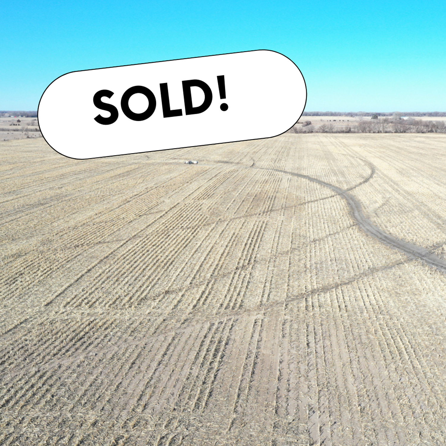
Productive farm consisting mainly of Class l and Class ll soils located in the vicinity of multiple elevators and ethanol plants. Don’t miss out on an opportunity to own this high-yielding farm.
Total Acres:121.35 +/-
Irrigated Acres:118.44 +/-
Other:2.91 +/-
Irrigation Information
Zimmatic 7-tower pivot
Well G-042205 drilled April 18, 1974 in the Upper Big Blue NRD with 76.43 certified irrigated acres
GPM:1300
Well Depth: 182′
Static Level: 92′
Pumping Level: 130′
FSA Information
Corn:100.42 Base Acres,150 PLC Yield
Soybeans:3.85 Base Acres,49 PLC Yield
Cropland Acres 117.85,Total Base Acres 104.27
Legal Description
Southwest 1/4 exc Tract Section 34, Township 12 North, Range 5 West