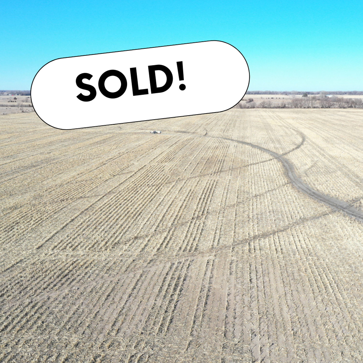
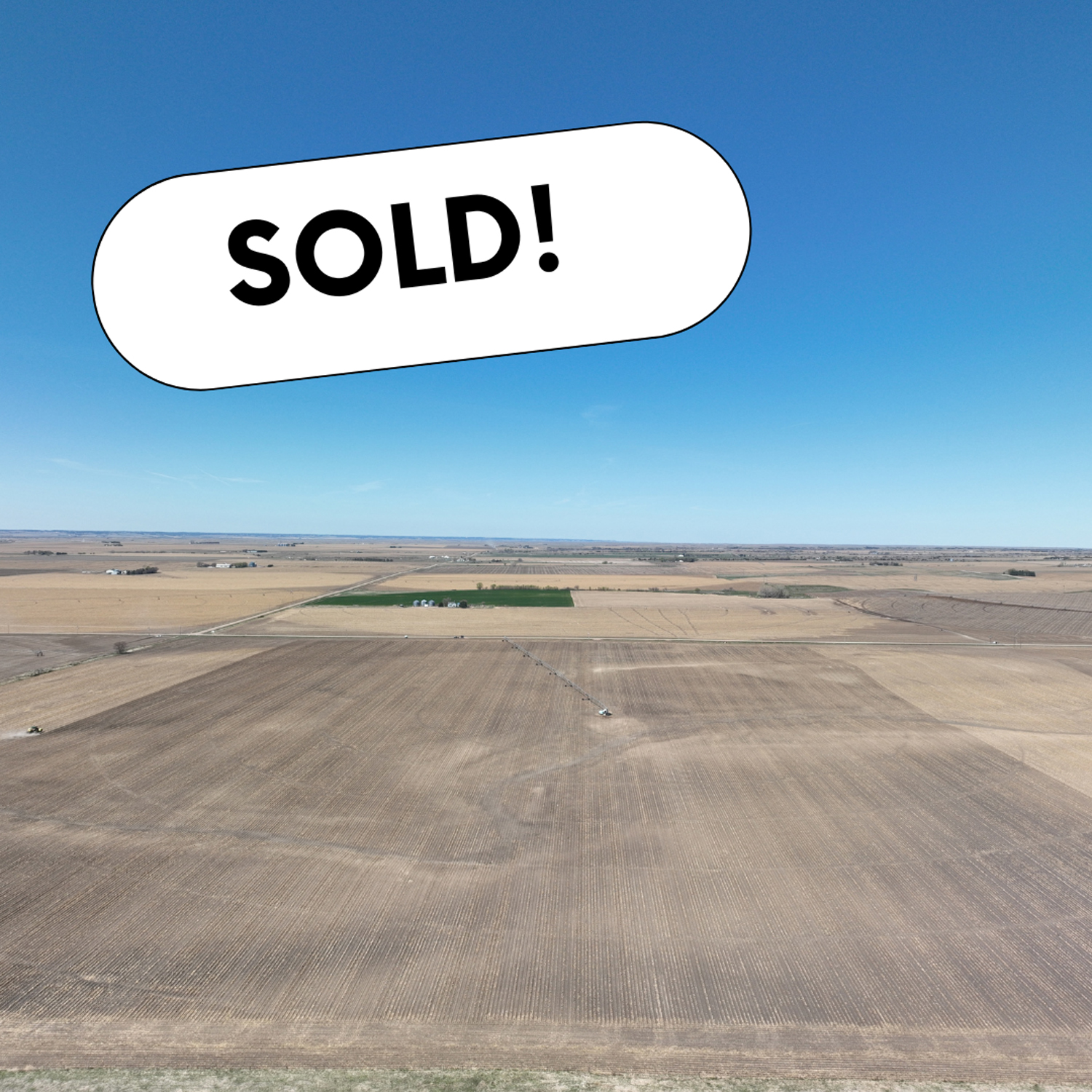
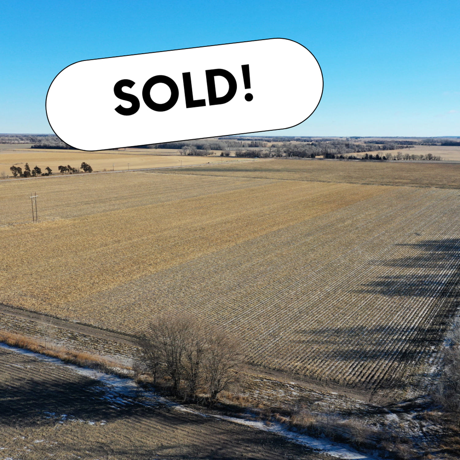
Nice irrigated 80 with updated irrigation equipment.Located close to multiple grain elevators and is located just off Highway 39 south of Silver Creek, Nebraska.This is a productive piece of ground for someone looking to get started purchasing land.
Legal Description
North 1/2 Northeast 1/4 Section 20, Township 15 North, Range 3 West
FSA Information
Total Cropland Acres 78.97
Corn 62.2 Base Acres, 117 PLC Yield
Grain Sorghum 4.9 Base Acres, 87 PLC Yield
Soybeans 9.7 Base Acres, 35 PLC Yield
Irrigation Information
2018 GPS-controlled Reinke 7-tower pivot
67 certified irrigated acres in the Central Platte NRD
Well G-111189 drilled on 9-26-1973 with 800 GPM, 45 ft static level, 71 ft pumping level, 81 ft well depth
Overlooking the Solomon River in the near distance, this one of a kind property offers breathtaking views and world class hunting in Norton County, Kansas. As you approach the cattle guard at the south end of the ranch you will immediatly notice this is not your average hunting property. Mature cedars blanket the deep canyon draw running through the center of the property, canvasing most of the ranch in a forest of thick cedars and shrubs. Completely secluded from the neighboring properties from the cedars and steep rolling topography, this tract allows the whitetail, mule deer, turkey, and other various wildlife to have minimal to no pressure throughout the year. Tucked away in the cedars, rests a beautiful spring fed pond near the north boundary line giving wildlife a great source of water year round. This property is truly one of a kind, from its scenic views of this incredible landscape, and the unbelievable hunting opportunity this ranch offers.
1 stock well located in the southwest corner of the property. The well will need a new solar well however the well is in good condition.
Four-wire barbed wire fence along the south, east, and north perimeter of the property in good condition. The east fence line was in poor condition and needed attention to.
Legal Description
South 1/2 Northeast 1/4 & East 1/2 Southeast 1/4, 28-05-22
Here is your opportunity to own a world-class hunting property on the North Fork Solomon River in Norton County, KS. Offering prime wildlife habitat, these river properties almost never come onto the market and are in high demand for the outdoorsman looking to chase giant Kansas whitetail. Sitting just west of Logan, KS, this farm offers the best of both worlds and is almost perfectly split between Solomon River habitat and prime bottom ground. As you drive up to the farm from County Road Y, the road will drop down to the north end of the property line, giving you the perfect view of the near level topography spread across all tillable acres. The productive soil, consisting of mostly Class III Munjor silt loam, was planted to soybeans last year. There is a lease for the tillable acres and is currently on year 4 of a 5 year lease agreement with the neighboring farmer.
As you approach the Solomon River, mature cottonwoods, black walnut, ash, and elm trees create an overwhelmingly beautiful scenery as the Solomon River snakes through the center of the farm. The Solomon River is a fantastic water source for the whitetail deer, turkey, and other wildlife on the river and runs steadily year round. Walking through the dense trees you will find an endless network of deer trails showcasing the high deer traffic this property holds, with several bedding areas scattered around the tract. Once on the south side of the river, there is approximately 9 acres of lush CRP grass and shrubs hidden from public view. Not only is this a great location for a future food plot, but creates a low stress environment for the local wildlife. With such strong demand for Solomon River properties, this farm will not last long on the market.
Total Acres 68.51 +/-
Dryland Acres 37 +/-
Recreational Acres 31.81 +/-
Legal Description
Section 2, Township 5, Range 21, ACRES 68.47, ALL W2 NE4 EX E 50 ALL LYING SOUTH OF CENTER LINE OF VAC LESS RR RD R/W
Productive farm consisting mainly of Class l and Class ll soils located in the vicinity of multiple elevators and ethanol plants. Don’t miss out on an opportunity to own this high-yielding farm.
Total Acres:121.35 +/-
Irrigated Acres:118.44 +/-
Other:2.91 +/-
Irrigation Information
Zimmatic 7-tower pivot
Well G-042205 drilled April 18, 1974 in the Upper Big Blue NRD with 76.43 certified irrigated acres
GPM:1300
Well Depth: 182′
Static Level: 92′
Pumping Level: 130′
FSA Information
Corn:100.42 Base Acres,150 PLC Yield
Soybeans:3.85 Base Acres,49 PLC Yield
Cropland Acres 117.85,Total Base Acres 104.27
Legal Description
Southwest 1/4 exc Tract Section 34, Township 12 North, Range 5 West
Great opportunity to own some Sandhills Rangeland in southern Brown County, NE. The property is owner rated at 105 cow/calf pair for a five month grazing season It consists of 1,369.47 +/- acres with four livestock wells, along with great winter protection from several established tree belts throughout. This is an all continuous tract of land of one large pasture with good/average exterior fences. Open for the 2023 grazing season! Brown County is home to many large mule deer, white tail deer, predator, and waterfowl which provide several recreational opportunities for the average outdoor enthusiast.
Legal Descriptions
Township 25 North – Range 22 West of the 6th P.M. Brown County, Nebraska.
Section 17: South Half (½) North Half (½) Southeast, & Southwest Southwest 160.40 +/- Acres
Section 17: North Half (½) North Half (½) Southeast & Northwest Southwest 80.28 +/- Acres
Section 17: East Half (½) Southwest 79.68 +/- Acres
Section 18: West Half (½) East Half (½) Southeast 40.12 +/- Acres
Section 18: East Half (½) East Half (½) Southeast 40.13 +/- Acres
Section 19: East Half (½) East Half (½) Northeast & West Half (½) West Half (½) Northeast 80.30 +/- Acres
Section 19: East Half (½) West Half (½) Northeast & West Half (½) East Half (½) Northeast 80.26 +/- Acres
Section 20: Part. All 645.39 +/- Acres
Section 21: West Quarter (¼) Northwest 40.84 +/- Acres
Section 21: West Quarter (¼) Southwest 40.67 +/- Acres
Section 21: East Half (½) West Half (½) West Half (½) 81.40 +/- Acres
A great opportunity to add an outstanding pivot-irrigated farm to your land holdings. The farm is located in Dawson County, which is known for its fertile soil for crop production. This farm offers good access off a gravel road, is near several competitive grain markets and includes all electric irrigation equipment with the sale. A majority of the farm is comprised of productive Cozad silt loam soils.
AgWest Land Brokers is proud to offer this Decatur County, KS combination farm. A productive cropland farm and cattle ranch located in northern Kansas. It is nearly all-contiguous and comprises of 6,054.54+/- deeded acres in Decatur County.
This property offers 231.08 +/- acres of pivot irrigated cropland, 2,120.44 +/- acres of non-irrigated cropland, 3,701.02 +/- acres of native hardland grass, and 2 +/- acres of miscellaneous.
For the avid sportsman, many mule deer, whitetail deer, upland birds and turkey tend to travel the creek bottoms and roam the several thousand acres of open prairie this ranch has to offer. The farm is located between Oberlin, KS and McCook, NE on each side of Hwy 83 running north and south. Don’t miss this unique opportunity to own a sizable farm and ranch in northern Kansas.
This is a nice flat farm with drip tape used to irrigate the farm. It would be a great piece of land for a first-time land owner. It is located at the intersection of Highway 30 and Highway 92, so it would be an excellent location for a commercial business.
Legal Description:
Part of Southeast 1/4 Section 10, Township 14 North, Range 5 West South of Rail Road
Well Information:
Located in the Central Platte Natural Resource District with 42.68 certified irrigated acres.
AgWest Land Brokers, LLC represented the Buyer during this transaction.
Property Description
Properties this size with this much to offer do not come along often. Located only a couple miles NW of Rantoul Ks., this rolling 80ac (m/l) has it all when it come to creating a top shelf recreational tract. Located at the end of a dead end road, the property comes with a rural water meter, two electric meters, a well, RV hookups, a 1000 gal septic, and several small structures to store your equipment and tools. The property also has a mobile type home that is considered of no value and could be easily removed.
But the true beauty of this property is its location and the layout of the land. One look at the aerial and the pictures and you can see the mature hardwood timber that runs throughout the property. The open fields that are located on the high ground throughout the tract, would make great food plot locations and/or ambush sites for deer, turkey and other native wildlife. A layout like this allows for multiple hunters at one time, which is not common for a smaller tract of this size. The timber is thick and mature, and has a healthy balance of both white and red oaks, hickory, and walnut trees. Providing value to the wildlife, and the new owner as well. Multiple thriving Paw Paw patches can be found on the property as well! The rolling terrain is thick deep draws that separate the hay fields on top and slope down lower native grass field and to the Marias Des Cygne river running along the northern property line. Middle Creek also cuts through the NW corner of the property right before it connects into the Marias Des Cygne. Providing an excellent fishing hole. The Flint Hills Nature trail runs along the northern boarder of the property providing its own recreational value, as well as access to the far side of your property without having to walk through the center. This property is well taken care of and has an excellent trail system running throughout allowing access to all the fields and openings. This property comes with 100% mineral rights, and future income potential from oil is likely since the neighboring properties are actively pumping. Located only 45 minutes from greater KC, and with so much to offer, this property will not disappoint. If you re looking for a premium tract that your family will enjoy for years to come.
PROPERTY DETAILS:
• Located on a dead end road.
• Property comers with 1 rural water meter, 2 electric meters, a septic tank, and several structures to store
equipment.
• RV hook ups.
• Access to Flint Hills Nature Trail.
• Located along the Marias Des Cygne River Where Middle Creek Connects. Ideal for Deer movement during
the rut.
• Mature hardwood timber including various mature Oaks and Walnut trees.
• High Density of deer and turkey.
• 80 acres m/l. (77ac taxable not the counting road easement)
• 45 minutes from Greater Kansas City.
• 5 minutes outside of Rantoul Ks
Legal Description
North ½ Northeast ¼ Section 19, Township 17 South, Range
21 East, Franklin County, Kansas (Less ROW)
Nearly level, productive gravity-irrigated 80 with the potential for a pivot to be added to it. This Polk County farm has Class I, Class II, and Class III soils consisting of mainly Alda loam and Leshara silt loam soils. It is located in close proximity to multiple grain elevators and ethanol plants.
Legal Description:
North 1/2 Northeast 1/4 section 14, Township 15 North, Range 3 West
FSA Information:
Total Cropland: 76.11 Ac
Corn 61.1 Base Ac, 124 PLC Yield
Soybeans 11.5 Base Ac, 44 PLC Yield
Wheat 3.3 Base Ac, 38 PLC Yield
Total Base Acres: 75.9
Well Information:
G-020107 drilled June 6, 1955 in the Central Platte NRD with 76.43 certified irrigated acres