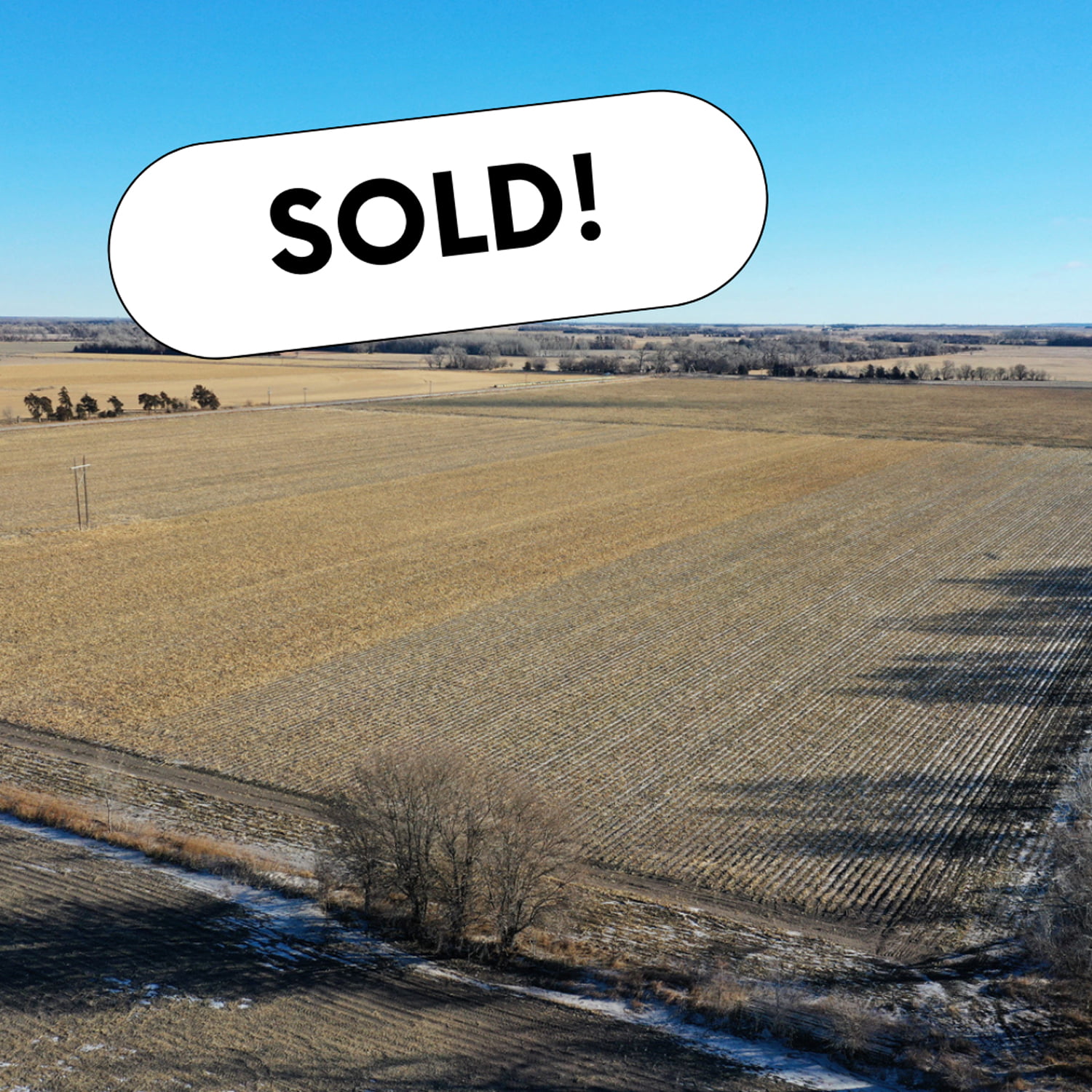
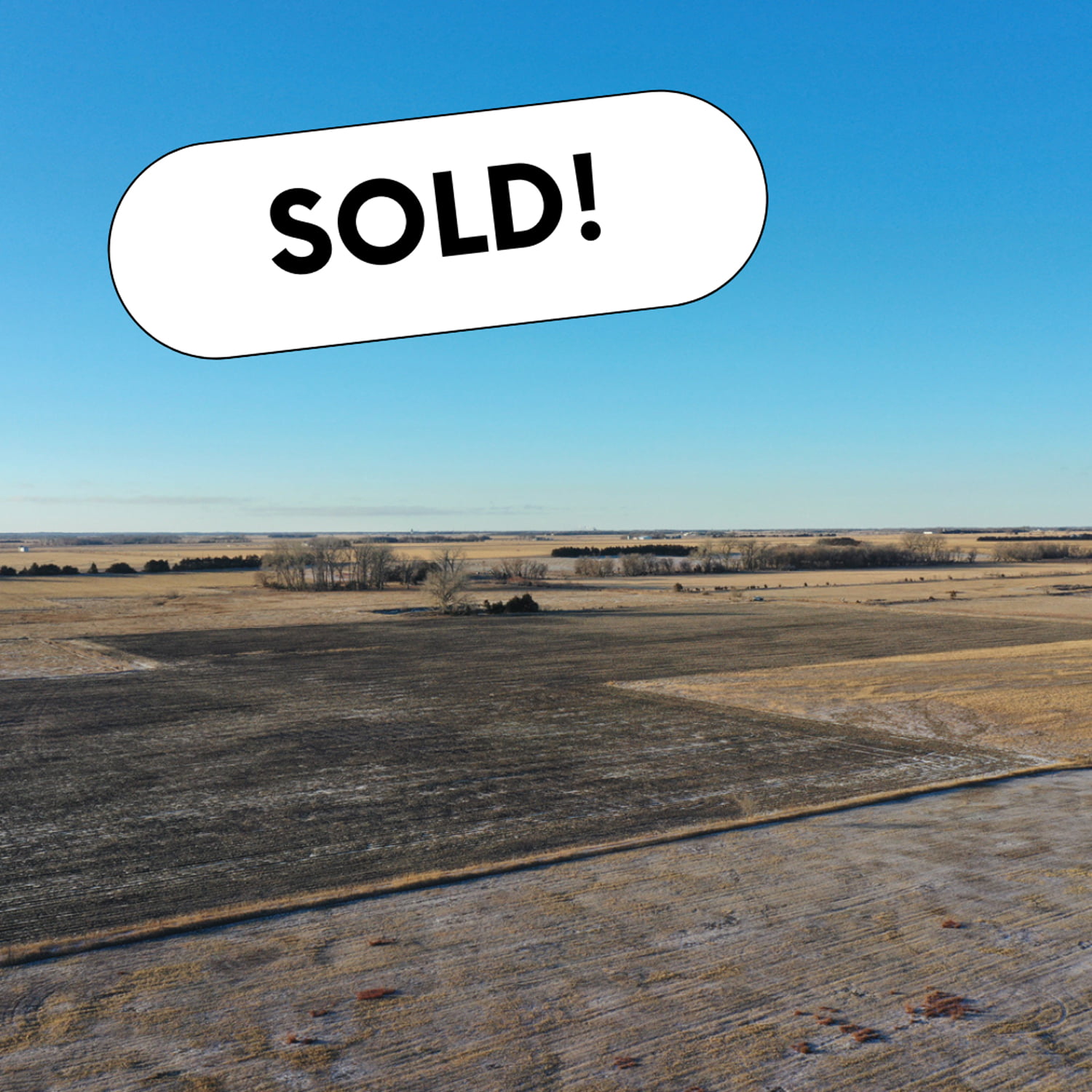
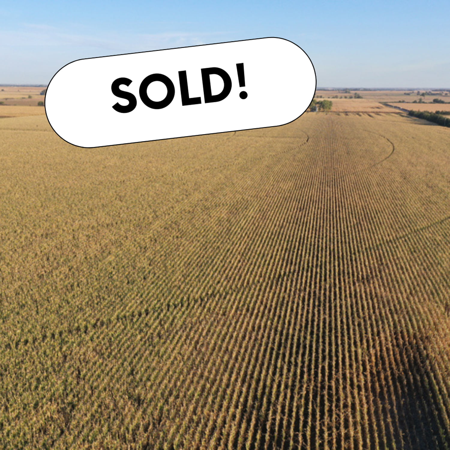
Productive farm consisting mainly of Class l and Class ll soils located in the vicinity of multiple elevators and ethanol plants. Don’t miss out on an opportunity to own this high-yielding farm.
Total Acres:121.35 +/-
Irrigated Acres:118.44 +/-
Other:2.91 +/-
Irrigation Information
Zimmatic 7-tower pivot
Well G-042205 drilled April 18, 1974 in the Upper Big Blue NRD with 76.43 certified irrigated acres
GPM:1300
Well Depth: 182′
Static Level: 92′
Pumping Level: 130′
FSA Information
Corn:100.42 Base Acres,150 PLC Yield
Soybeans:3.85 Base Acres,49 PLC Yield
Cropland Acres 117.85,Total Base Acres 104.27
Legal Description
Southwest 1/4 exc Tract Section 34, Township 12 North, Range 5 West
This is a nice flat farm with drip tape used to irrigate the farm. It would be a great piece of land for a first-time land owner. It is located at the intersection of Highway 30 and Highway 92, so it would be an excellent location for a commercial business.
Legal Description:
Part of Southeast 1/4 Section 10, Township 14 North, Range 5 West South of Rail Road
Well Information:
Located in the Central Platte Natural Resource District with 42.68 certified irrigated acres.
Nearly level, productive gravity-irrigated 80 with the potential for a pivot to be added to it. This Polk County farm has Class I, Class II, and Class III soils consisting of mainly Alda loam and Leshara silt loam soils. It is located in close proximity to multiple grain elevators and ethanol plants.
Legal Description:
North 1/2 Northeast 1/4 section 14, Township 15 North, Range 3 West
FSA Information:
Total Cropland: 76.11 Ac
Corn 61.1 Base Ac, 124 PLC Yield
Soybeans 11.5 Base Ac, 44 PLC Yield
Wheat 3.3 Base Ac, 38 PLC Yield
Total Base Acres: 75.9
Well Information:
G-020107 drilled June 6, 1955 in the Central Platte NRD with 76.43 certified irrigated acres
Nice combination farm with gravity irrigated farm ground and a fenced pasture for livestock. This would be a great farm for a first-time investor. This acreage is located on a hard-to-find tract of land northeast of Clarks, NE. Lined with established trees along the road, this is the perfect place for your future home and buildings.
Legal Descriptions:
West 1/2 Northwest 1/4 section 3, Township15 North, Range 4 West
West 1/2 Lot 2 Section 34, Township 16 North, Range 4 West
Highly productive farm that has high fertility and consisting of majority Class 1 Hastings silt loam soils. Located north of Waco, NE and near elevators and ethanol plants. Acres all around this farm are in seed corn production.
Legal Description:
West 1/2 Southeast 1/4 Section 5, Township 11 North, Range 1 West
Irrigation Information:
-Located in the Upper Big Blue Natural Resource District, and has 68.2 certified irrigated acres
Roughly 510 ft. of 6″ diamond plastic pipe with 30″ gates, 1-6″ shutoff, Isuzu Power unit, 500 gallon diesel fuel tank, 15 hp generator, 4 cylinder IH power unit
1-submersible well, 2-western landroller irrigation pumps with pulley heads, 2 irrigation casings with no pumps in them
7 tower early 2000 T&L pivot
Legal Description:
Pt of Southeast 1/4 & Lots 3 & 4 Section 34,Township 16 North, Range 5 West
Up for auction are 3 nice laying flat farms located close to multiple elevators and an ethanol plant.
Tract 1 and Tract 2 are just across the road from each other.Each is set up for a half swing pivot with the ability to water the corners.
Tract 2 has Silver Creek running through the north part of the farm.
Tract 3 is a nice flat pivot-irrigated 80 with the ability to irrigate the corners.
Tract 1
Total Acres (Per Assessor) – 80.05 +/-
Irrigated Acres – 77.14 +/-
Dryland Acres – 1.92 +/-
Other Acres – 0.99 +/-
Real Estate Taxes – $2,882.04
Legal Description – E1/2 NW1/4 Section 26, Township 15N, Range 5W, Merrick County, Nebraska
Driving Directions – Take Hwy 30 west of Clarks to 24 Rd.Turn north and go roughly 3 miles to W Rd.Turn west and go 1/2 mile.
Property is located on south side of the road.
Irrigation Information
Pivot and power unit are owned by tenant and do not convey with the property.Wells to pivot set up at 650GPM.
Irrigation Equipment – 4 Wells
Well 1: G-045876A drilled in Jan 1950, 1,000 gpm, 7′ static level, 26′ well depth.
Well 2: G-045876B drilled in May 1948, 1,000 gpm, 7′ static level, 30′ well depth
Well 3: G-045876C drilled in Jan 1982, 400 gpm
Well 4: G-045876D drilled in Jan 1982, 500 gpm
FSA Information
Total Cropland Acres: 79.53
Wheat – 11.51 Base Acres – 38 PLC Yield
Corn – 31.66 Base Acres –160 PLC Yield
Soybeans – 6.03 Base Acres – 48 PLC Yield
Total Base Acres – 49.2
*Estimated division of base acres between
Tract 1 and Tract 2
Tract 2
Total Acres (Per Assessor) – 80.62+/-
Irrigated Acres – 77.73 +/-
Grassland Acres – 1.89 +/-
Other Acres – 1.00 +/-
Real Estate Taxes – $2,942.72
Legal Description – E1/2 SW1/4 Section 23, Township 15N, Range 5W, Merrick County Nebraska
Driving Directions – Go west of Clarks on Hwy 30 to 24 Rd.Turn north and go roughly 3 miles to W Rd.Turn west and go 1/2 mile .Property is on the north side of the road.
Irrigation Information
Tenant owns pivot and is not included.Wells feeding into the pivots are 650GPM.
77.73 certified irrigated acres, of which 44.61 ac were issued under the Impacts Below Chapman (IBC) program in 2012 & 2013.These acres “could” be subject to needing offsets should the board deem these acres are adversely impacting Platte river stream flows.This is unlikely to happen, but these acres are subject to such rule.
Included with property:
10,000 bushel grain bin with fan and burner. Subject to lease ending September 1, 2023.
Irrigation Equipment
Well 1: G-045877 drilled in June 1955, 1,000 gpm, 6′ static level, 43′ well depth
Well 2: G-045879 drilled in June 1967, 650 gpm, 6′ static level, 30′ well depth
Well 3: G-163741 drilled in April 2012, 725 gpm, 7′ static level, 15′ pumping level, 30′ well depth
FSA Information
Total Cropland Acres: 75.98
Wheat – 10.99 Base Acres, 38 PLC Yield
Corn – 30.24 Base Acres –160 PLC Yield
Soybeans – 5.77 Base Acres – 48 PLC Yield
Total Base Acres – 47.0
*Estimated division of base acres between
Tract 1 and Tract 2
Tract 3
Total Acres (Per Assessor) – 78.45 +/-
Irrigated Acres – 75.74 +/-
Grassland Acres – 0.77 +/-
Other Acres – 1.94 +/-
Real Estate Taxes – $2,765.02
Legal Description – W1/2 NW1/4 Section 1, Township 15N, Range 5W, Merrick County, Nebraska
Driving Directions – Go west of Clarks to 24 Rd.Turn north and go roughly 5 miles to Z Rd.Keep going north 1/2 mile.Property is located on the east side of the road.
Irrigation Information
7 tower T&L pivot set up for roughly 250 GPM
Irrigation Equipment
Well 1: G-050752 drilled in May 1976, 230 gpm, 8′ static level, 30′ pumping level, 34′ well depth.
Well 2: G-105390 drilled in Jan 1960, 200 gpm, 6′ static level, 34′ pumping level
Well 3: G-140750 drilled in June 2006, 250 gpm, 10′ static level, 22′ pumping level, 33′ well depth