
PROPERTY DESCRIPTION
Online Only Land Auction
Bidding Opens Wednesday, April 8th at 10 a.m.
Bidding Closes Wednesday, April 15th starting at 10 a.m.
Bid Online at Bid.AgWestLand.com
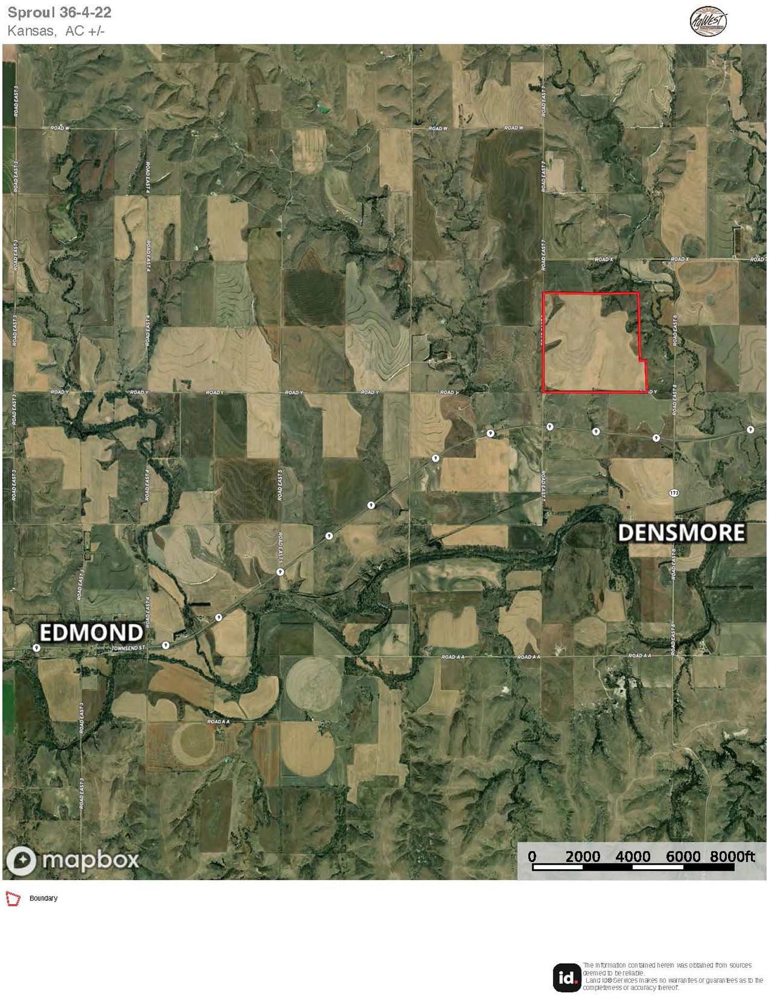
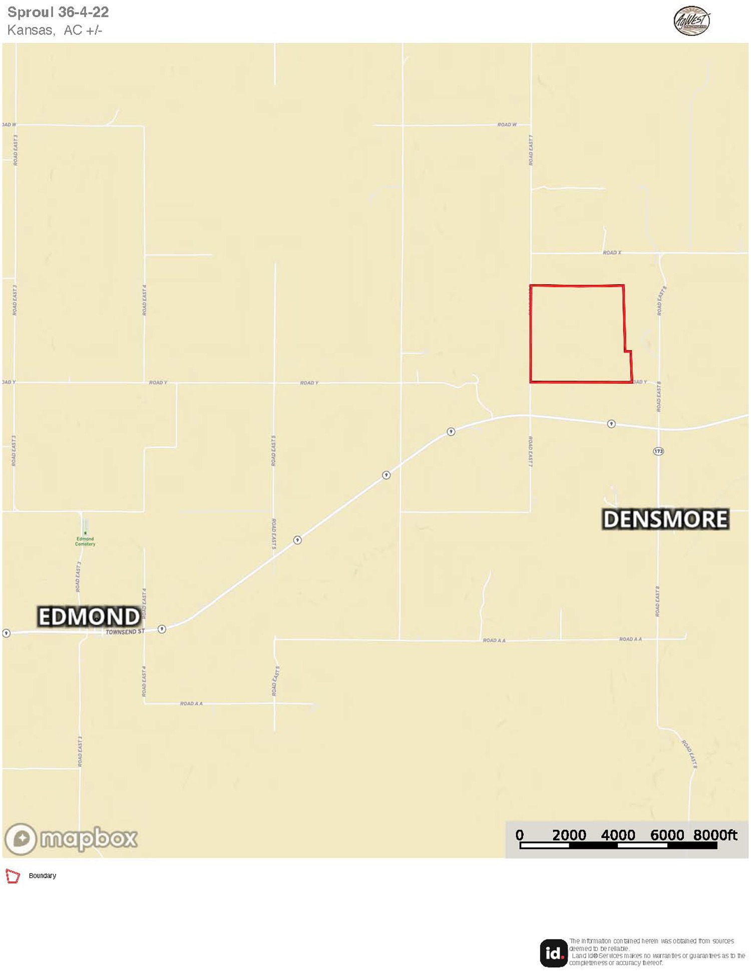
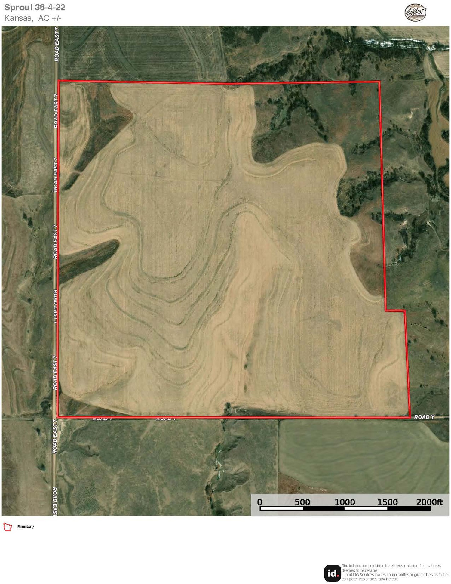
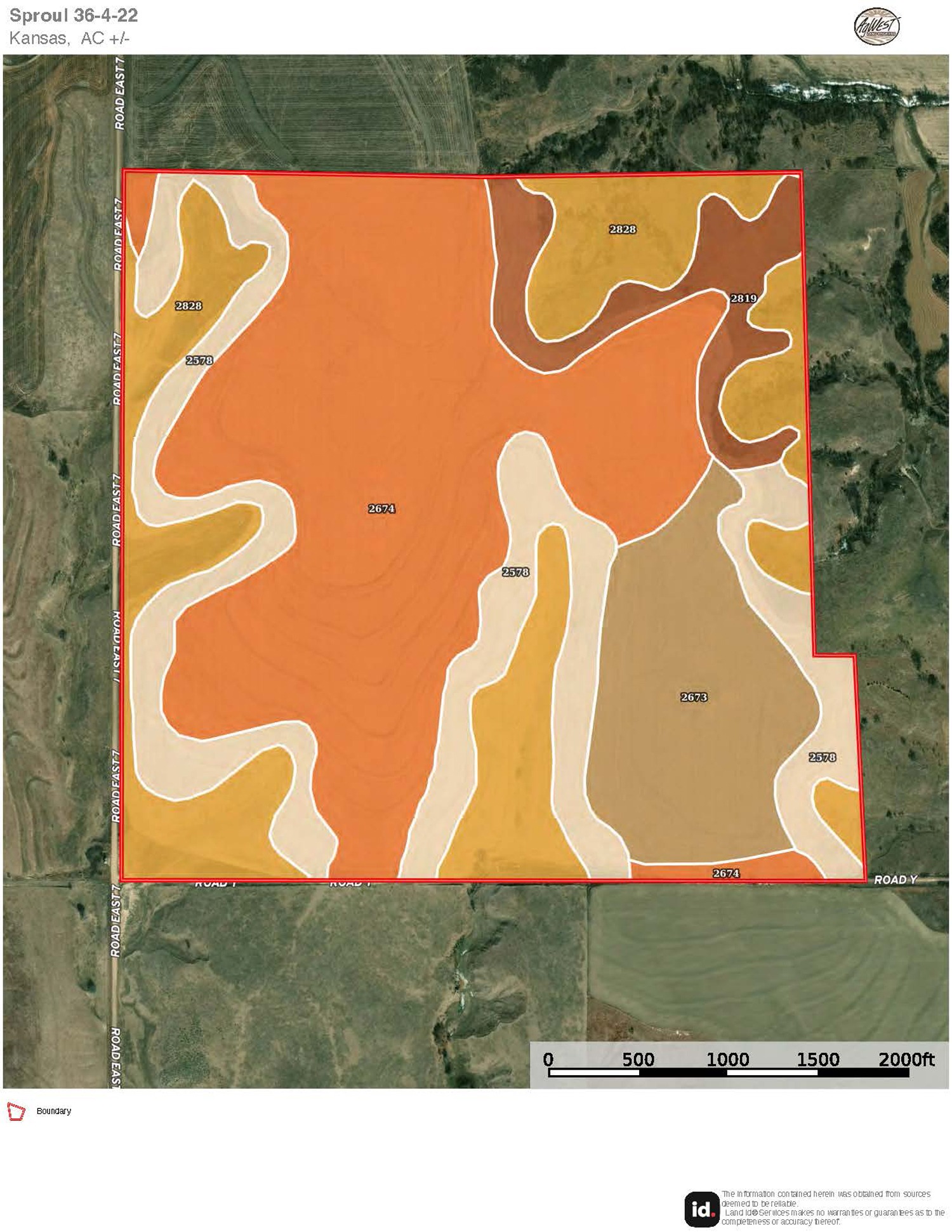
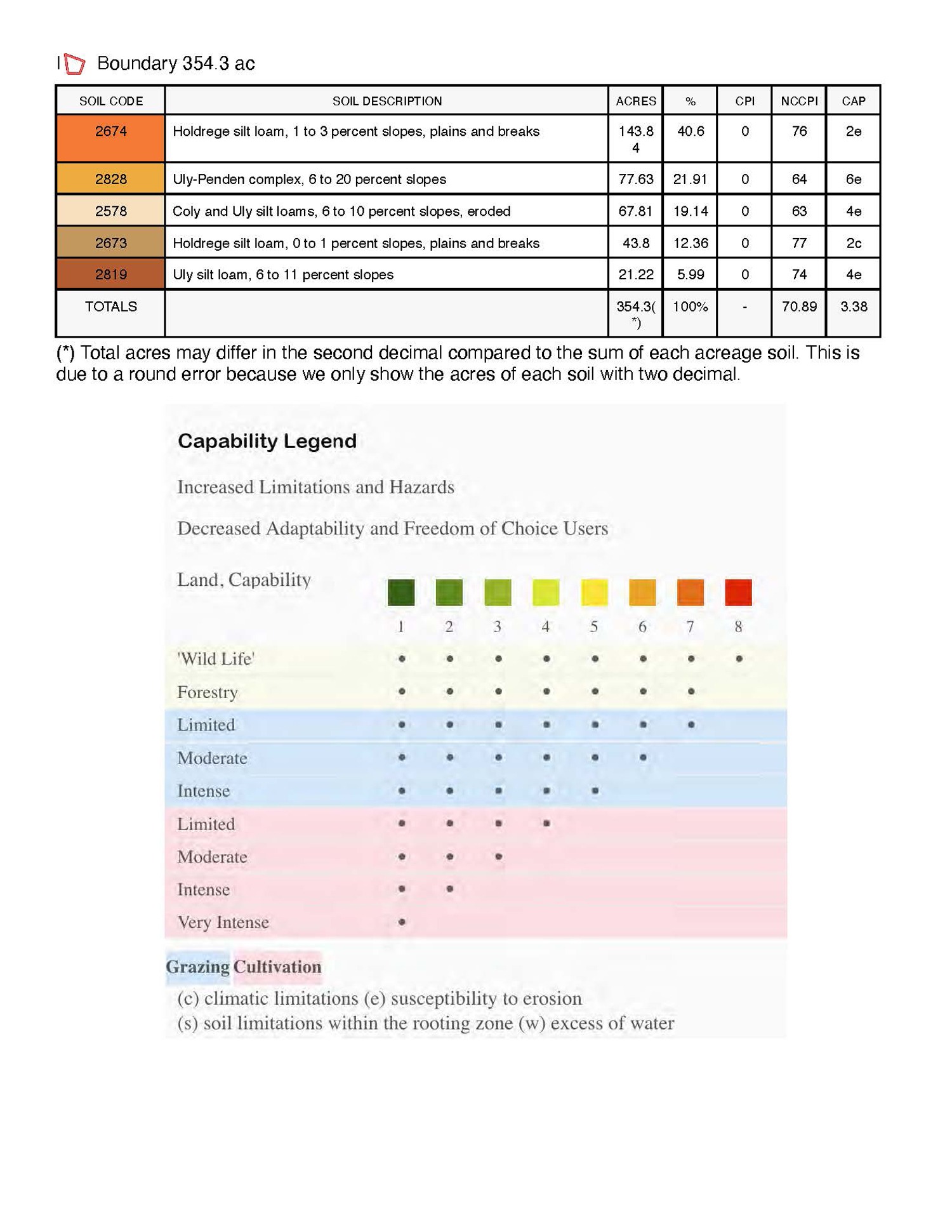
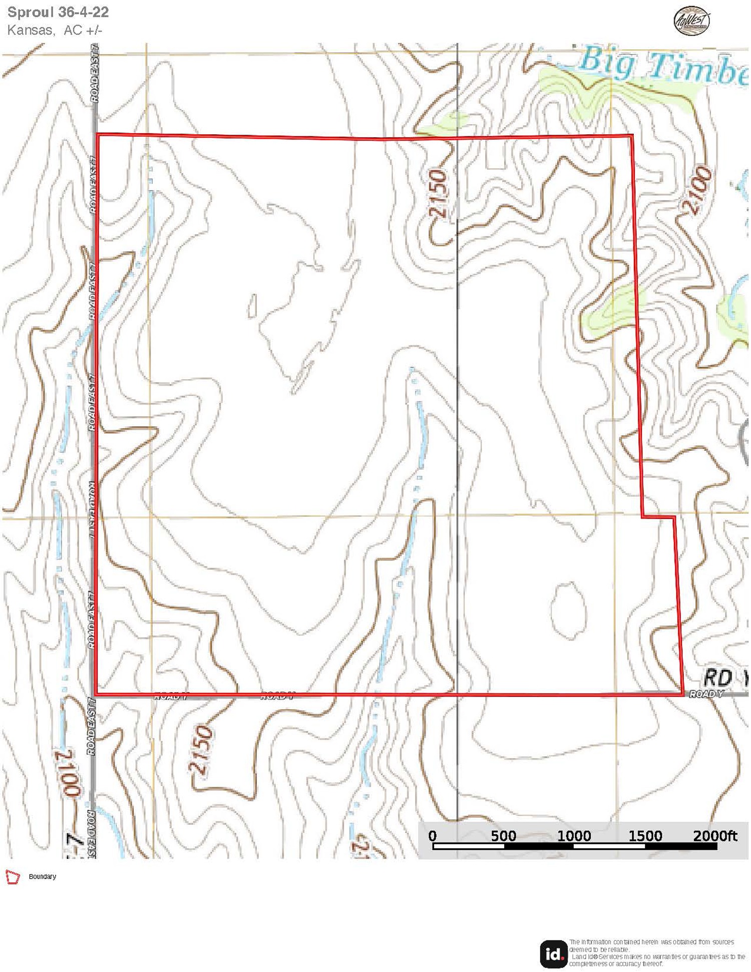
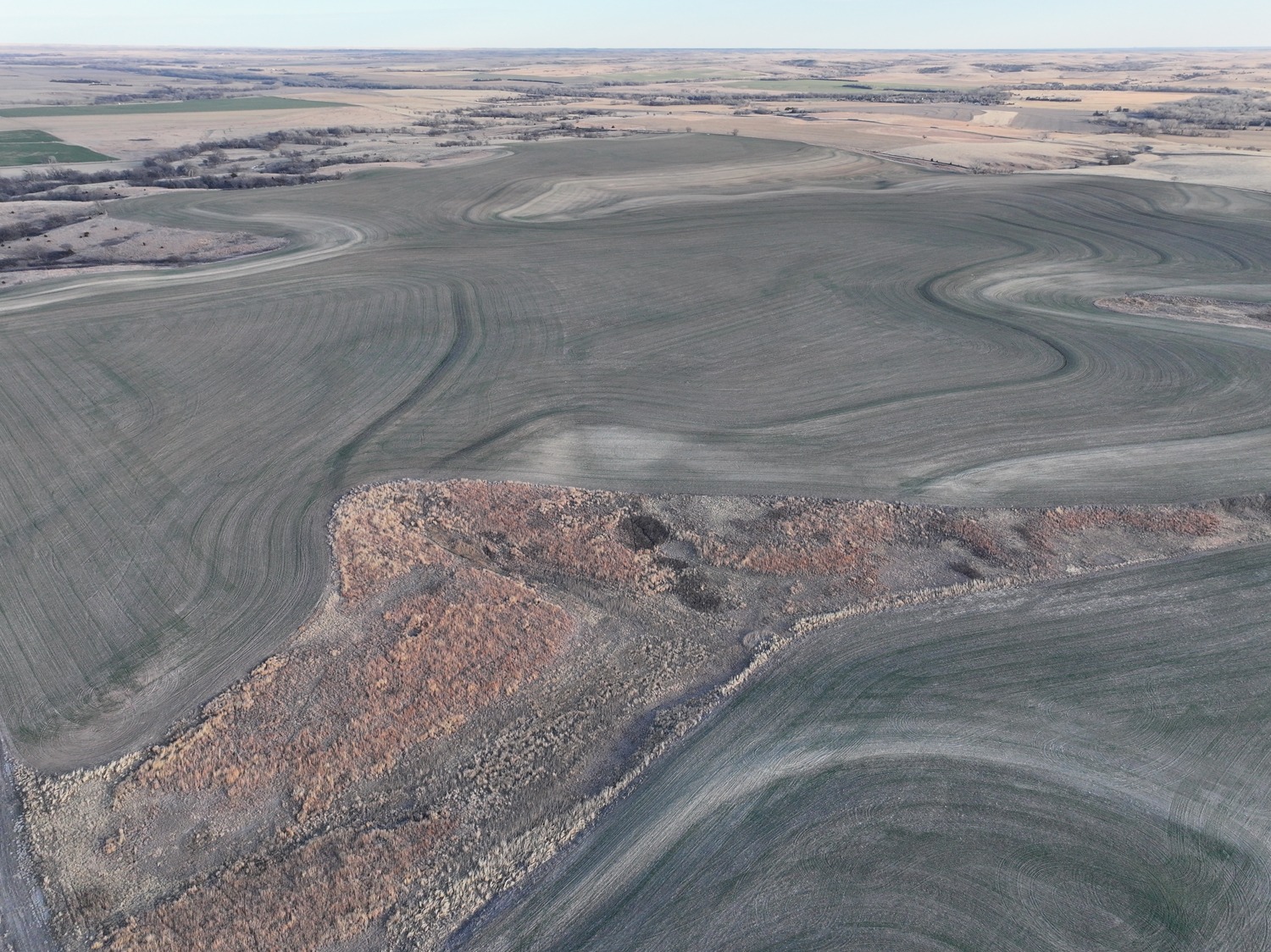
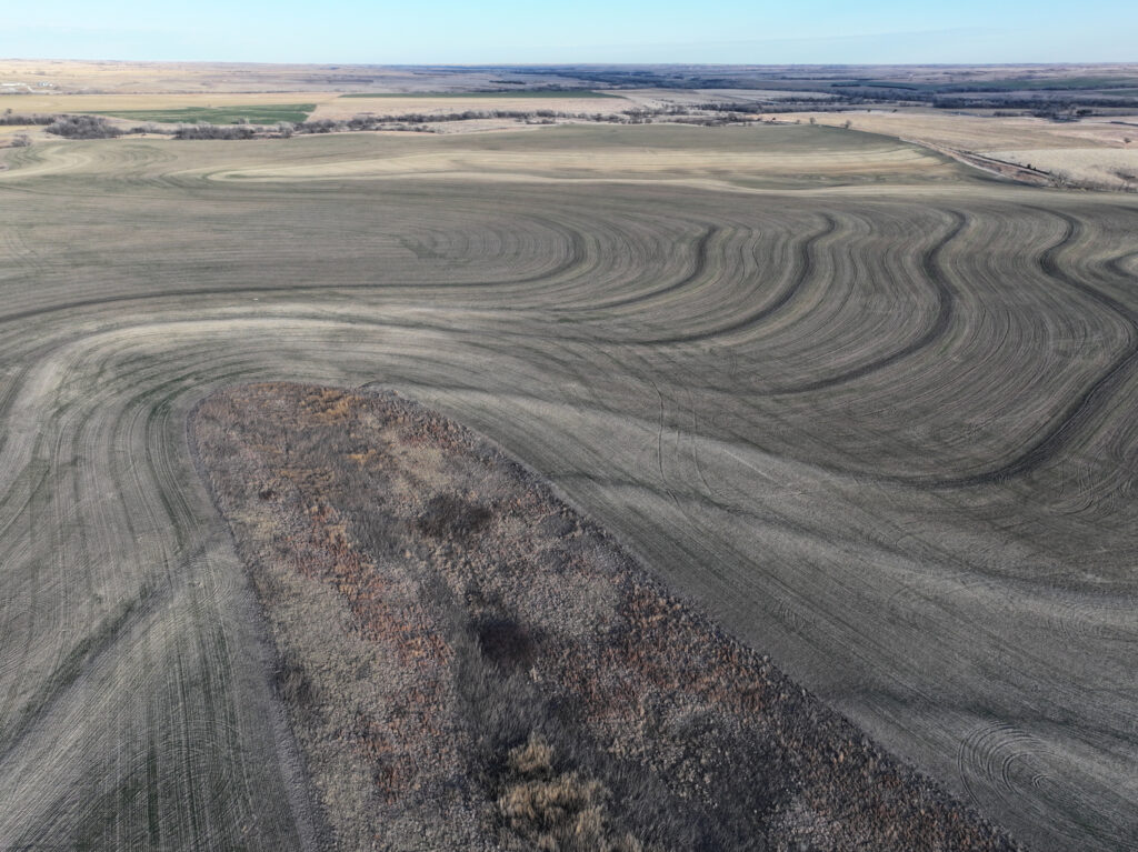
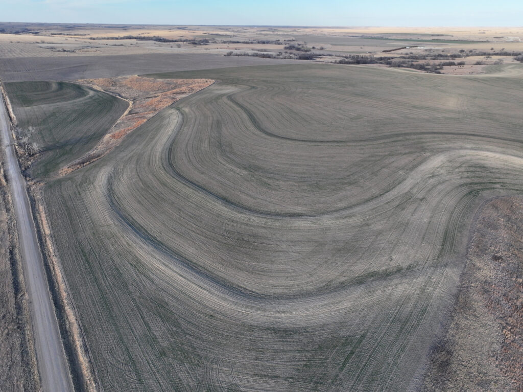
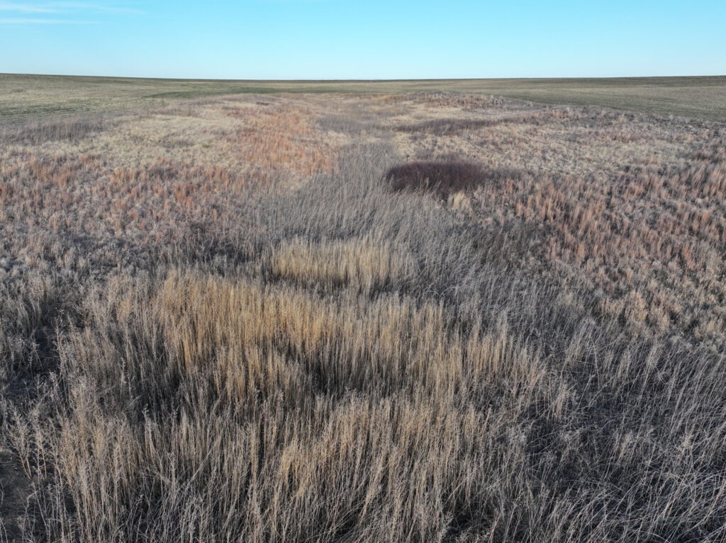
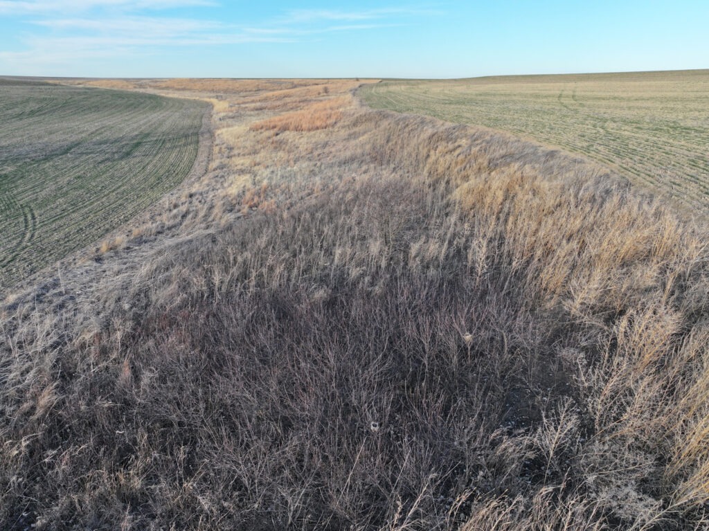
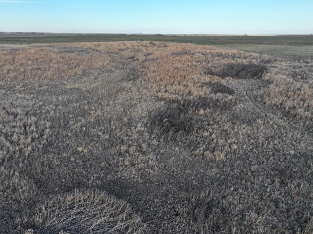
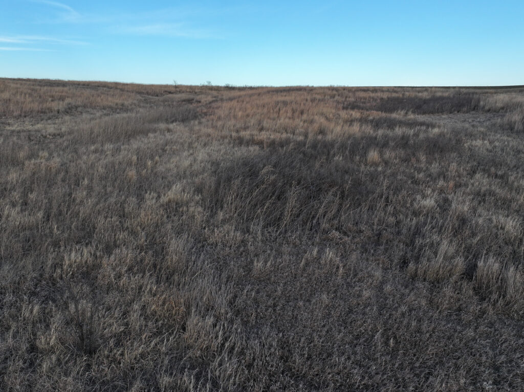
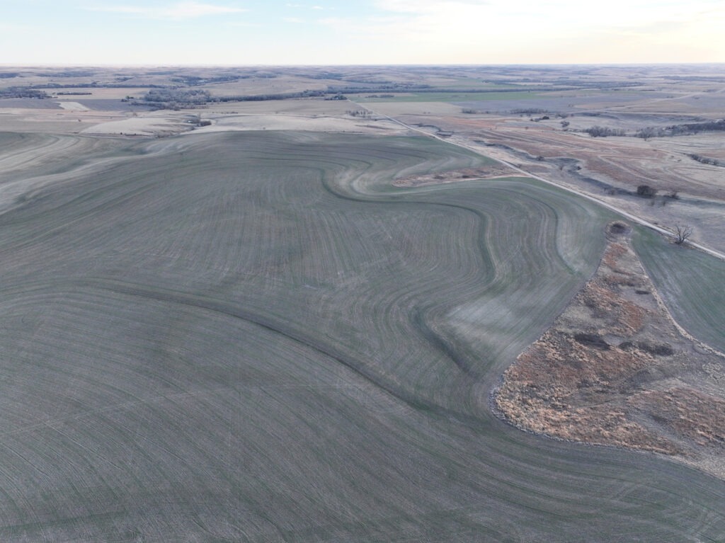
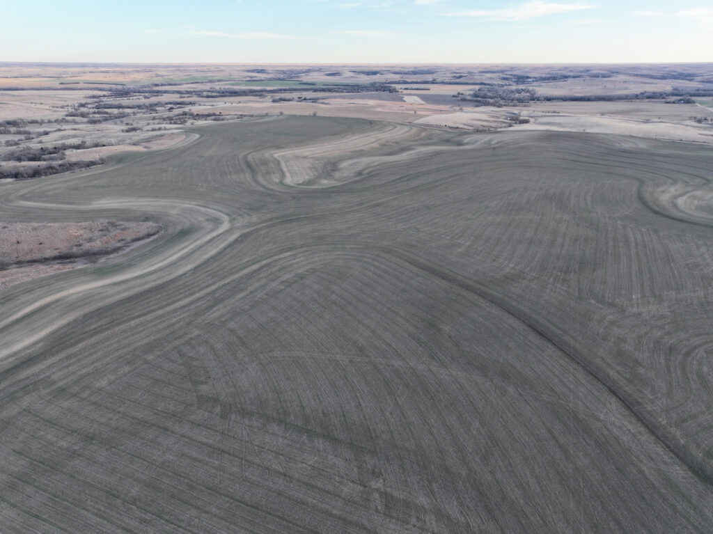
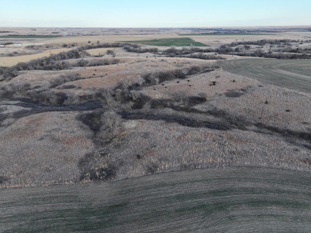
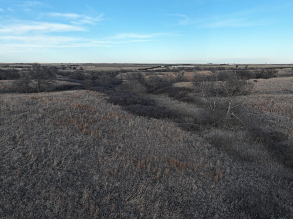
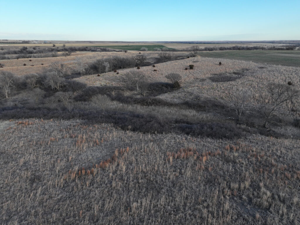
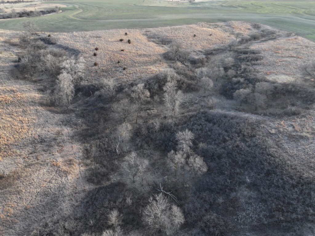
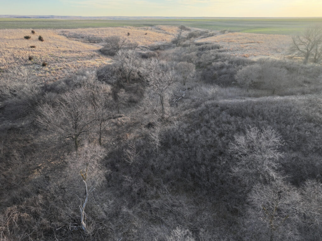
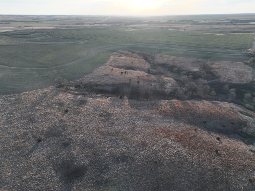
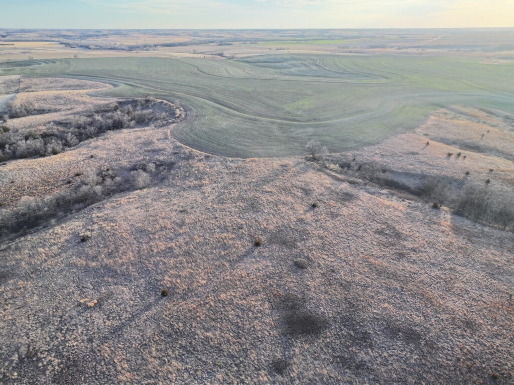
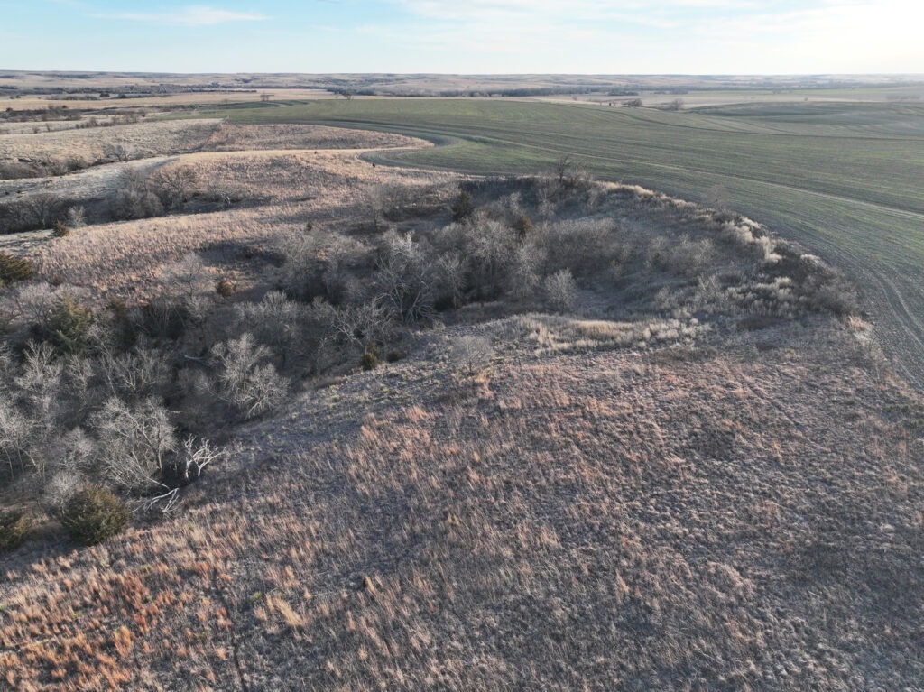
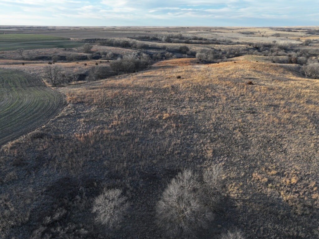
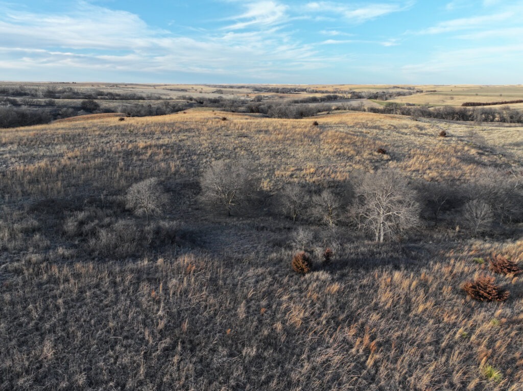
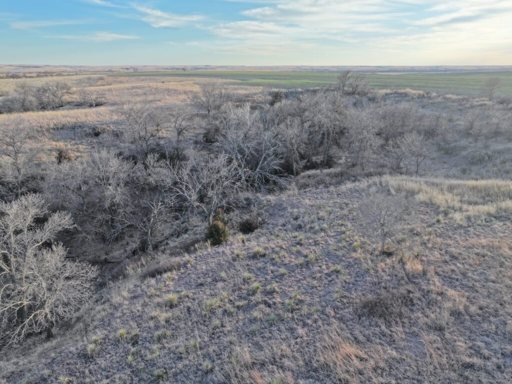
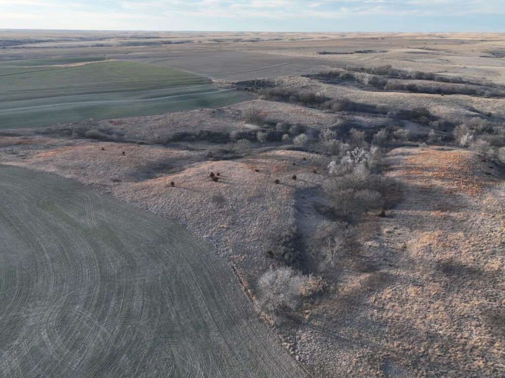
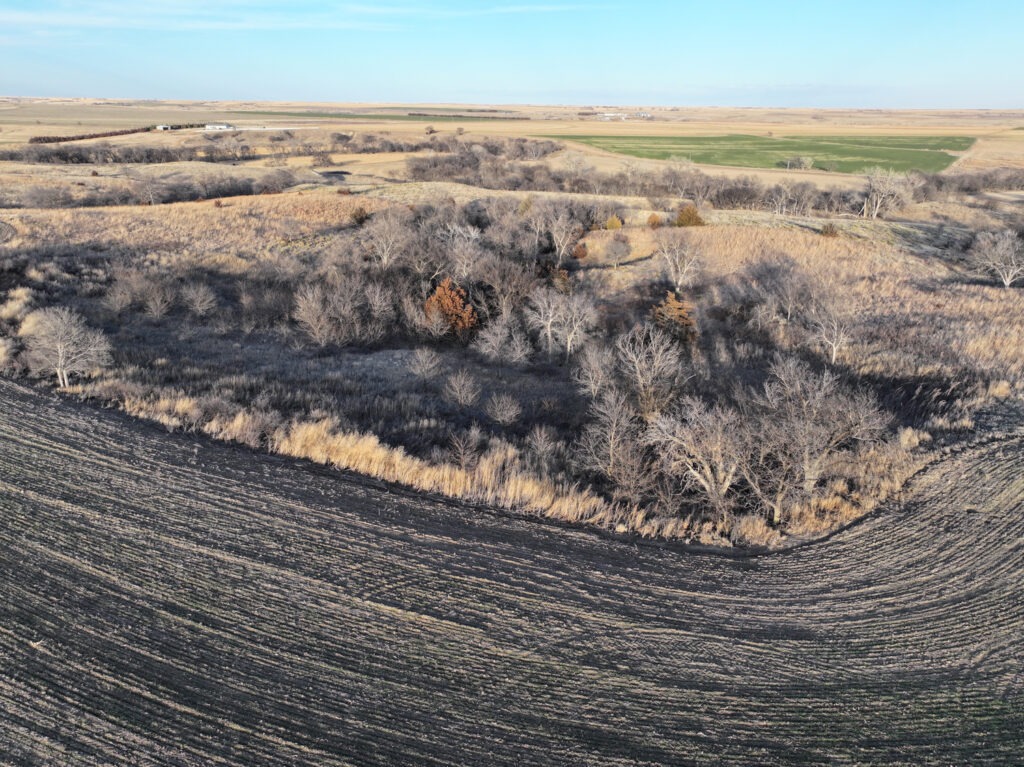
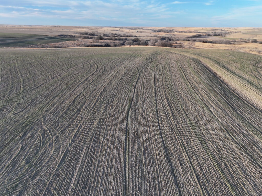
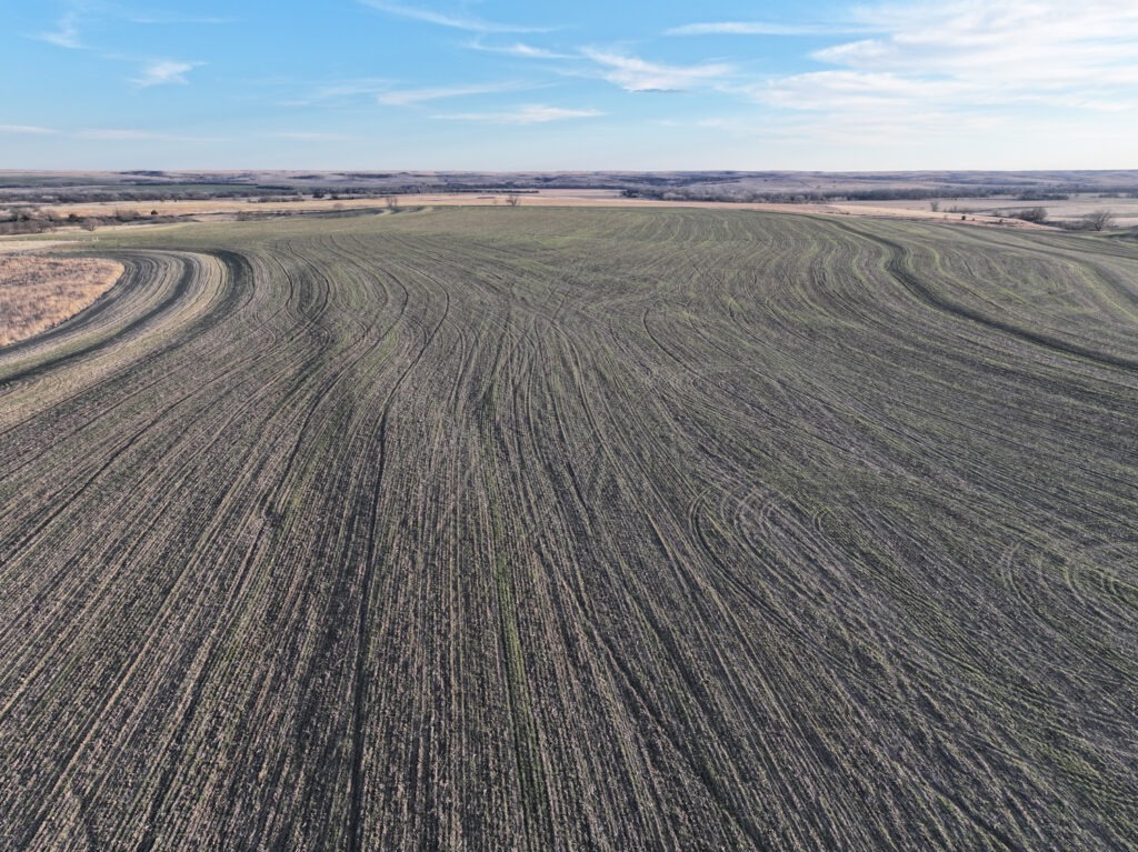
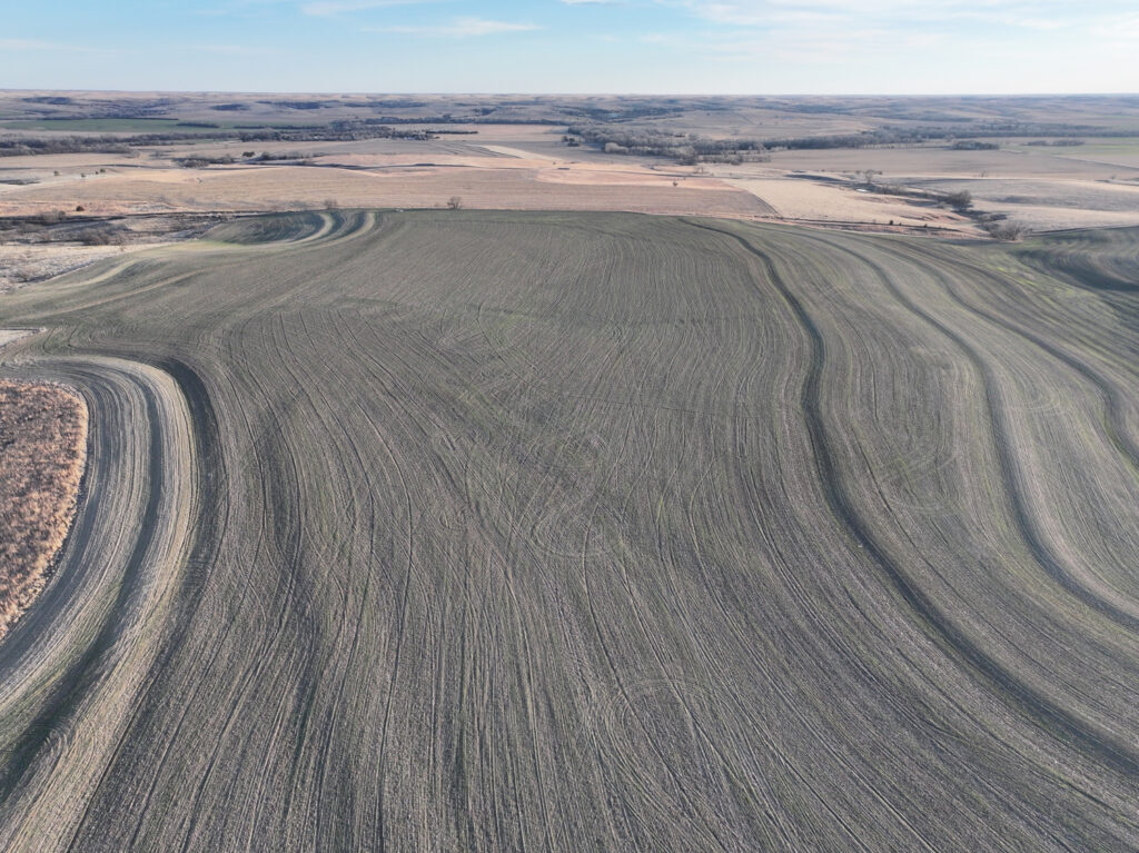
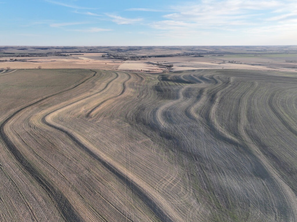
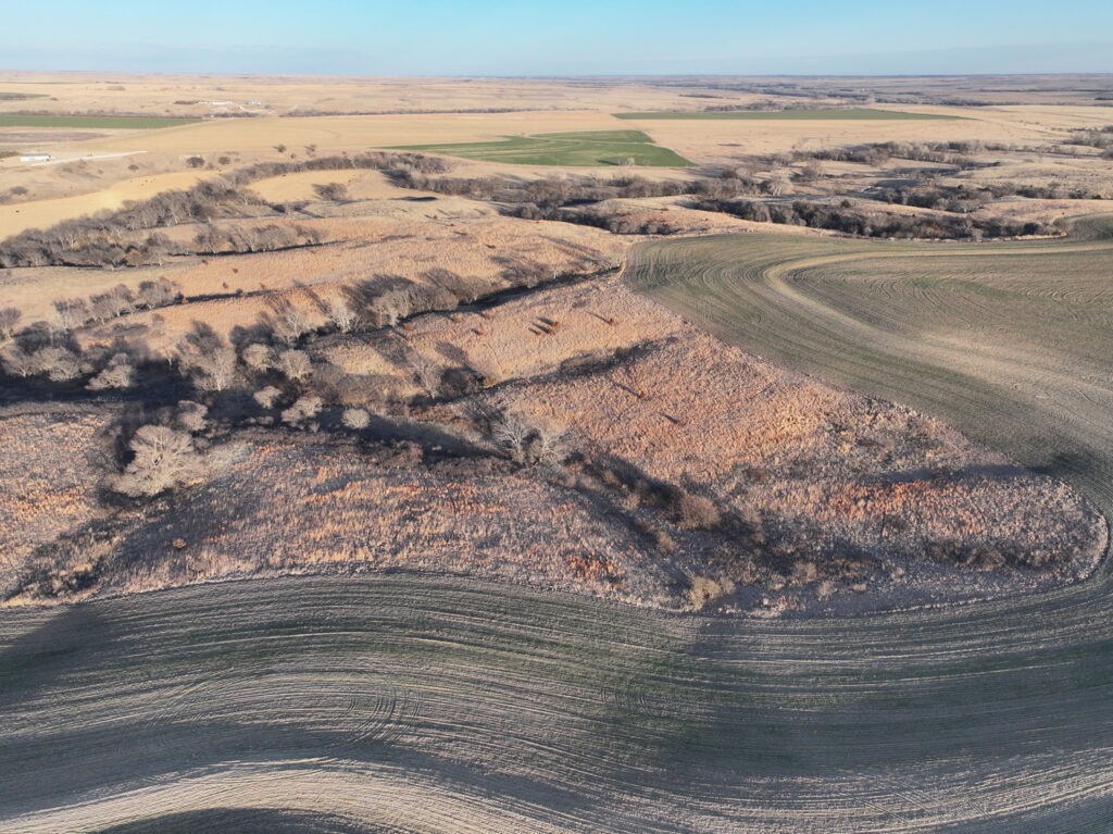
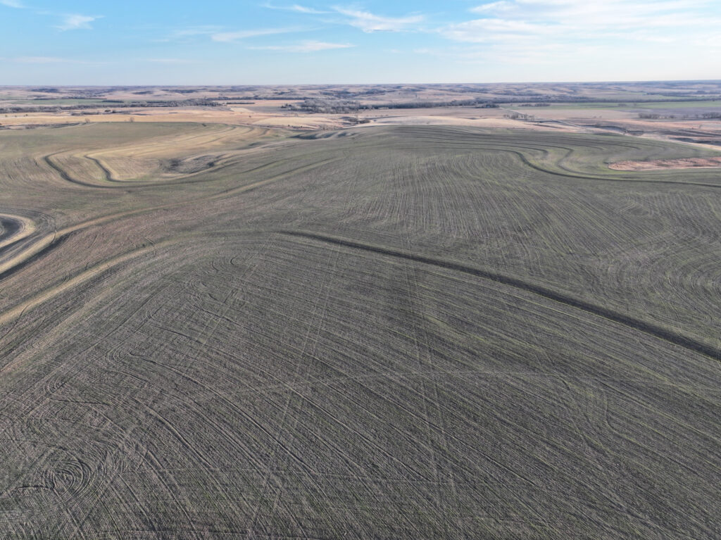
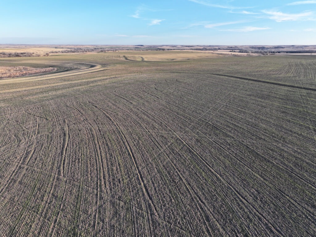
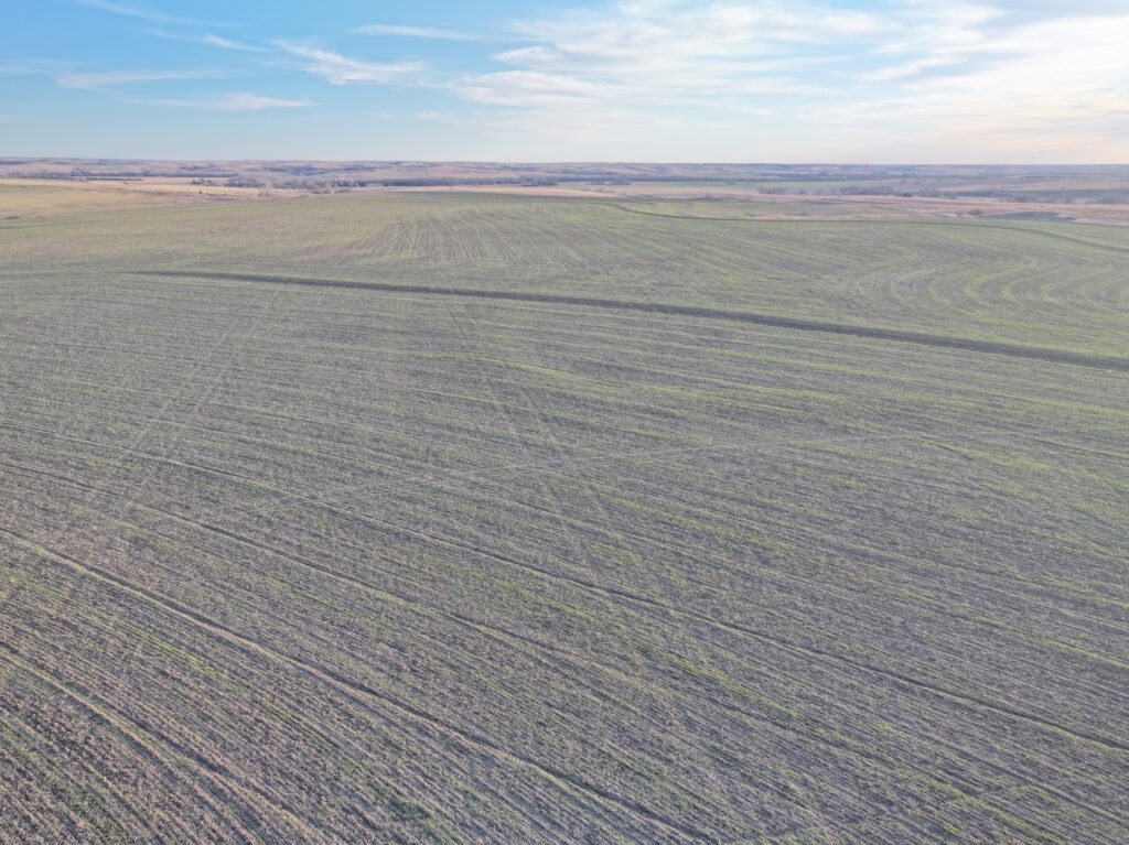
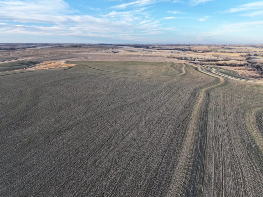
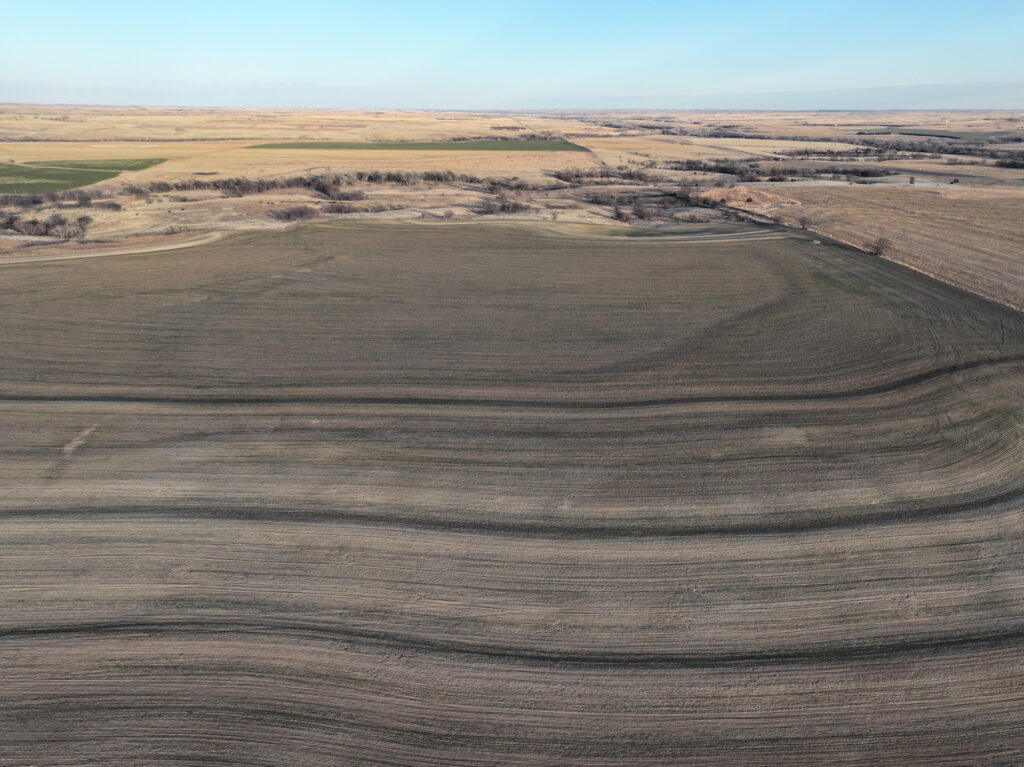
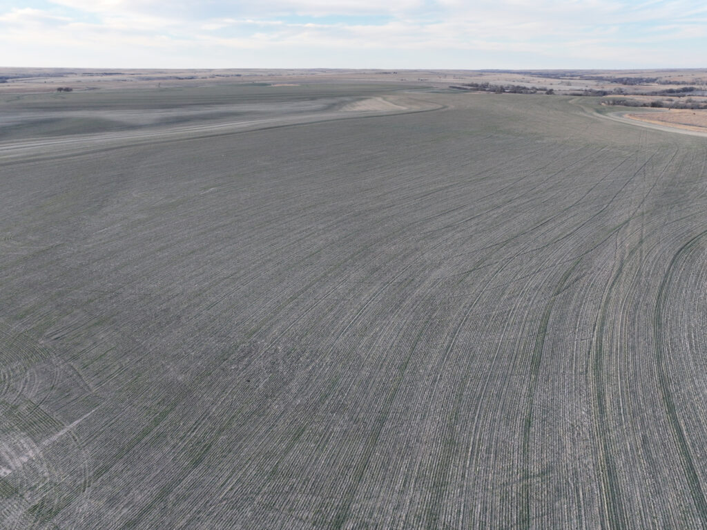
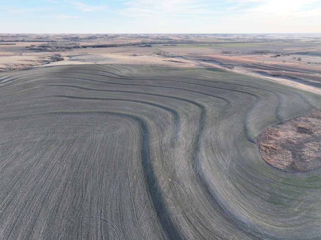
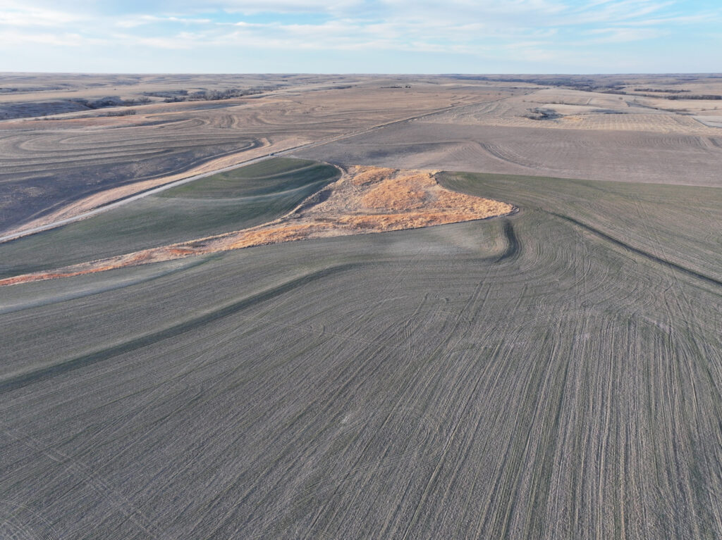
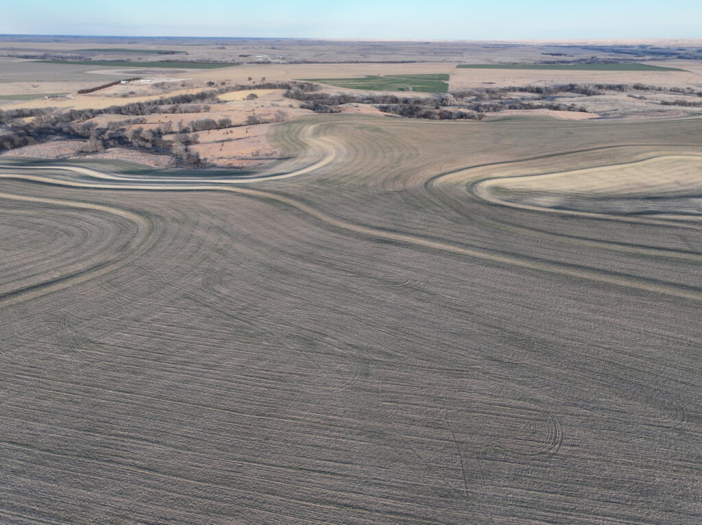
Located in southeastern Norton County, Kansas is a great opportunity to purchase serious dry land farm acres with hunting habitat. This 354.79+/- acre farm offers a combination of tillable acres, CRP, and wooded draws giving the buyer a great investment with quality recreational features. The 298+/- acres of farmland is composed of majority Class II Holdrege silt loam soil. Scattered along the east and west boundaries of the farm are 47.77+/- acres of CRP and deep draws filled with mature trees and thickets providing great habitat for whitetail deer and upland game living on the property. This high quality Norton County farm checks the boxes for a great investment with notable hunting potential and ease of access from Highway 9.
Legal Description: S1/2 of NW1/4 & SW1/4 & SW1/4 of NE1/4 & S1/2 of SE1/4 & NW1/4 of SE1/4 LESS RD R/W, SECTION 36 – TOWNSHIP 04 – RANGE 22, EX BEG SE COR THE W 1097 FT THE NWLY 1262.96FT THE E1172FT THE S 1322FT TO POB. In Norton County, Kansas
Property Taxes (2025): $2,963.68
Total Acres (per assessor): 354.79+/-
– Dryland Acres: 298.05+/-
– CRP Acres: 47.77+/-
– Recreational Acres: 8.97+/-
FSA Information:
– Total Cropland Acres: 342.23
– Wheat: 65.97 Base Acres – 40 PLC Yield
– Corn: 90.96 Base Acres – 70 PLC Yield
– Grain Sorghum: 46.28 Base Acres – 59 PLC Yield
– Soybeans: 21.88 Base Acres – 30 PLC Yield
– Total Base Acres: 225.09
Annual CRP Payment: $2,579. Expires in 2032.
*Farmland is currently drilled to wheat. The Buyer will assume 1/3 of the wheat crop and expenses, with possession upon harvest of the wheat crop.
*There is a lease on the property for 2026 season.
Norton43 Auction
PROPERTY LOCATION
From Edmond, Kansas travel east 3 miles on Highway 9, turning north on County Road E7. Continue on E7 for 1/4 mile, the property will be located on the east side of the road. Signs will be posted.
Latitude: 39.65941 / Longitude: -99.75283
The information contained herein is as obtained by AgWest Land Brokers LLC—Holdrege, NE from the owner and other sources. Even though this information is considered reliable, neither broker nor owner make any guarantee, warranty or representation as to the correctness of any data or descriptions. The accuracy of such statements should be determined through independent investigation made by the prospective purchaser. This offer for sale is subject to prior sale, errors and omissions, change of price, terms or other conditions or withdrawal from sale in whole or in part, by seller without notice and at the sole discretion of seller. Readers are urged to form their own independent conclusions and evaluations in consultation with legal counsel, accountants, and/or investment advisors concerning any and all material contained herein. Maps are for illustrative purposes only and are not intended to represent actual property lines.
PROPERTY INFORMATION
Total Acres: 355
Dryland Acres: 298
CRP Acres: 48
CRP Payments: $2,579
CRP Expiration: 2032
Taxes: $2,964
Mineral Rights: All mineral rights owned by seller, if any, convey to buyer.